Success story

Agrowth

Agriculture; Atmosphere; Climate; Land use

Profile

Agrowth empowers users with intelligent tools which generate knowledge at the parcel level. Specifically, the Agrowth platform combines Earth Observation data from Sentinel-1 and Sentinel-2 missions, along with pertinent vegetation indices, soil and weather data. It makes use of state of the art in Artificial Intelligence in order to support smart farming using EO data. It provides a crop monitoring service which offers information and actionable advice at the parcel level. In the current version, the available services per parcel are Phenology estimation, Weather Forecast (through ResAgri affiliate service), Yield prediction and Vegetation Indices. Furthermore, there are some services for a quick overall view of the state of all available parcels on the map such as Overlay Sentinel-2 Images, Phenology Stage and Crop Classification.

Proposal

The agrowth platform, which is a suite of smart farming services enabled by artificial intelligence, earth observations and numerical weather predictions. Crop phenology and crop yield estimation, the two core services of agrowth, constitute key information for agricultural management and thereby actionable knowledge for the farmer, the agricultural consultant, the insurance company and the policy maker. Using agrowth we can i) reduce the cultivation costs, ii) increase productivity and iii) protect the yield from adverse weather events. All this work is of great significance towards achieving zero hunger, as we help to make more with less

Sowing map

Customer Experience

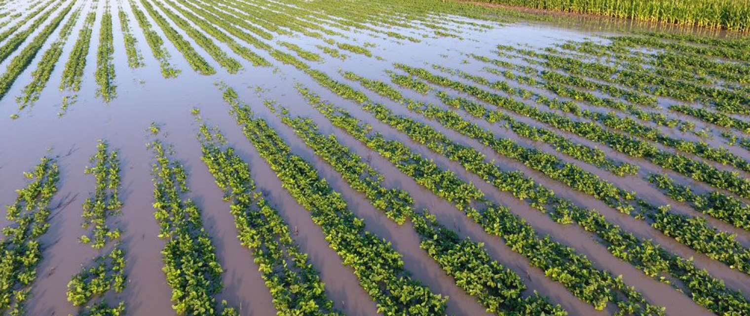
“Several farmers went on with sowing their parcels even though the sowing maps indicated otherwise. The conditions of the short future were unfavorable and the farmers had to sow for a second time a couple of weeks later.”

Vaggelis Georgolopoulos, Agronomist | Cotton Farsala

Benefits

  • It estimates the current phenology stage of crop and the fuzzy transition of them in the course of time. → Producer/Farmer knows every time in what stage his/her crop is and he/she is able to take action
  • It provides a heatmap for the sowing period of cotton which estimates daily the risk(high/medium/low) → Producer/Farmer has an indication about the right time of sowing, he/she is able to catch the possible sweet early window of April for cotton sowing
  • It predicts the yield in kg/ha, weeks earlier from the harvest. → Producer/Farmer has a good estimation of yield weeks earlier
  • It provides charts for the evolution of the vegetation indices NDVI, NDWI, PSRI and some crop specific indices. → Producer/Farmer has a good indication in order to monitor the vegetation health and the moisture of the crop
  • It visualizes the max and min ambient temperatures per parcel and it interplays with risk.resagri.eu. → Producer/Farmer has access to ResAgri’s detailed weather information in a 2km x 2km spatial resolution

Compare products

0 products added

Compare

Services comparison

services

Related Content

Firemaps.net
Fires, burnt scars, damage, forest fire risk, fire extent, Climate, Atmosphere, Insurance & Finance
Firemaps.net provides monitoring of fires from satellites. We use mostly free Earth observation data form the Sentinel fleet and from NASA and Eumetsat, as well as weather and climate data from different providers. All data are automatically downloaded and processed in a cloud environment and delivered to the user through our firemaps.net platform. firemaps.net offers a web mapping and information interface, provides the products for download in the desired format and features a reporting ready fire statistics on user defined areas of interest. Using NASA MODIS and Landsat data we provide time series of over ten years for fire baseline assessment. Coupling Earth observation and weather data we provide online modelling of fire behaviour and fire risk. We currently develop a mobile app for offline use of firemaps.net.
Added
Added
WatchITgrow
Agriculture, Land use, Farming
WatchITgrow is an online platform to support growers to monitor arable crops and vegetables in view of increasing yields, both qualitatively and quantitatively. WatchITgrow uses various types of data starting with satellite data combined with e.g. weather data, soil data, IoT data and field data provided by the grower. These data will be combined using new technologies such as big data analytics and machine learning to provide growers with more timely and personalized advice.
Added
Added
Land and Land Cover Analysis
Agriculture, Infrastructure, Land Ecosystems, Land use, Farming, Insurance & Finance, Local and regional planners
With AutoMap, the handling of satellite images has never been easier! We simplify the production of maps based on earth observation data and handle the application of machine learning algorithms for land surface classifications by providing a solid data processing pipeline in a fully managed cloud infrastructure. Bring your own samples or use our default solution, while we take care of the thousands of images that fit your request, all the clouds in your area of interest and every aspect of process optimization and secure data storage. Don't worry about machine learning concepts, intelligent training data collection, hyperparameter optimization or informative feature spaces - That's our job as well! Seeing the world from above is now as demanding as ordering a pizza!
Added
Added
Mutation Signalling on agriculture parcels in the Netherlands
Agriculture, crop acreage, Monitor crops, crop types extent, Land use, Assess land value, ownership, type, use, Measure land use statistics, Agricultural commodities, Agriculture and rural development policy, Farming, Real-estate management, Local and regional planners, City authorities, Planners, Regional governments, Town authorities, Agriculture and rural policy makers
NEO signals changes to agriculture parcels. Monitoring, based on satellite imagery in combination with artificial intelligence, aims to detect changes in the boundaries of the parcels. The service saves time and money because, based on the mutation signalling, parcels can be looked at more specifically to determine the new parcel boundaries. This supports the process of keeping the national LPIS (Land Parcel Identification System) registry up to date. The service that NEO provides is unique: it is the first time that mutation signalling based on earth observation is performed automatically on this scale. In this way the 500.000 parcels in the Netherlands are monitored. Open data from the national satellite data portal in the Netherlands is used.
Added
Added