Galerie
Gallery
Mapping, Monitoring
Satellite-derived Bathymetry
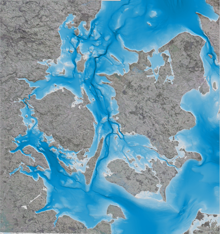
Satellite-derived bathymetry is a state-of-the-art method for detailed mapping of shallow coastal areas, where unlike field-based surveys this solution has a quick turnaround, no health and safety issues and requires no permits. Since it is based on satellite information it is also ideal for remote areas and harsh environments. The method is able to map water depth down to 8 m at high and low tide in 2m, 10m and 90m resolution, depending on your project requirements.
Coastal; Fisheries; Map water depth or charting; Oil and Gas; Maritime

Produktbeschreibung
A cost-effective method for accurate water depth mapping of the worlds shallow coastal areas based on high resolution satellite images. The method is globally applicable.
Leistungen
The coastal zone and shallow off-shore areas are some of the most dynamic regions around the world with constantly changing geography. Monitoring and mapping these coastal environments is therefore critical to environmental studies, construction activities such as harbours and pipelines as well as other critical infrastructure
Technische Spezifikation
Service Ort
Global

