Pioneering H2020 project e-shape, strengthens the benefits for Europe of GEO - establishing ‘EuroGEO’
EuroGEO, as Europe’s contribution to the Global Earth Observation System of Systems, aims at bringing together Earth Observation resources in Europe. It allows Europe to position itself as global force in Earth observation through leveraging Copernicus, making use of existing European capacities and improving user uptake of the data from GEO assets.
Explore e-shape success stories
Success story
Rheticus® AquaculturePlus
Profile
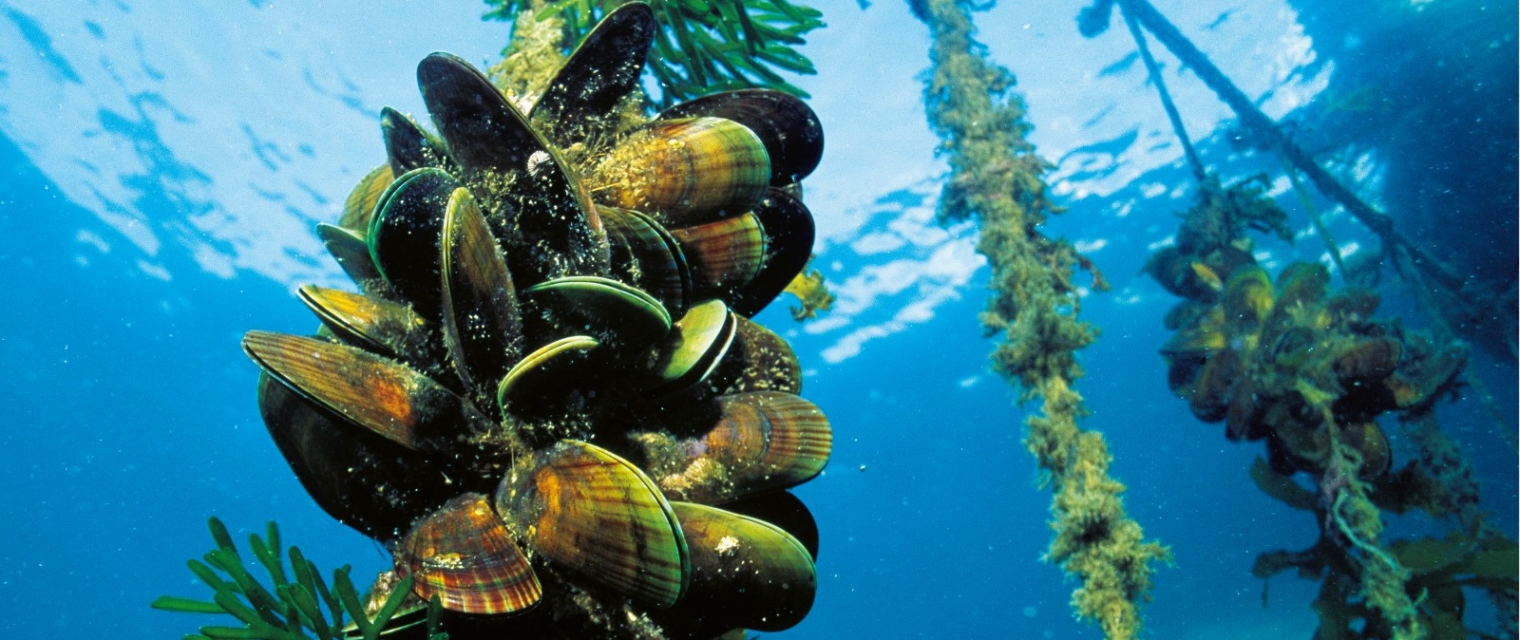
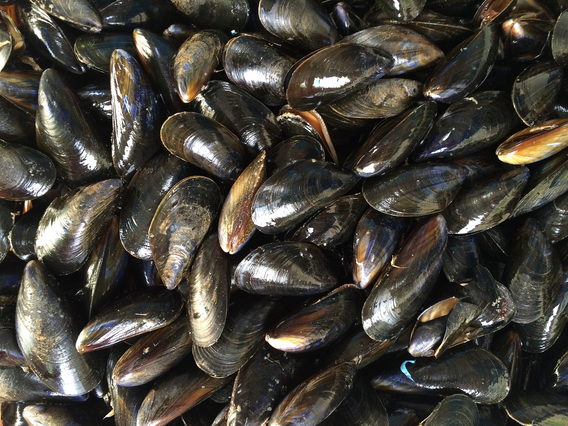
Aquafarmers faces new challenges due to the impact of extreme events mostly related to climate change, leading to changes in the sea temperature and phytoplankton, affecting growth rates and mortality of shellfishes and, therefore, the productivity of farms and the quality of products. As a consequence, aquafarmers can’t rely totally on well-known and established farming practices.
Proposal
Using satellite data and derived measurements of water parameters and a model for shellfish growth, Planetek is delivering Rheticus® Aquaculture service, providing information to aquafarmers about mussels’ growth rates, consisting of weekly bulletins with indicators calculated by the algorithms. Within the e-shape project, by organizing pilots in different plants in the Mediterranean Sea with the collaboration of the aquafarmers associations, we intend to scale up the adoption of the Rheticus® Aquaculture service in the Mediterranean and worldwide markets. We will pursue it by codesigning the service with the end-users, and adapting it to the different needs that different areas will require.

Benefits
- Sustainable service for aquaculture farming
- Global availability of the service
- Sharing and supporting Sustainable Development Goals (SDGs)

Meet the entities involved in e-shape
