Pioneering H2020 project e-shape, strengthens the benefits for Europe of GEO - establishing ‘EuroGEO’
EuroGEO, as Europe’s contribution to the Global Earth Observation System of Systems, aims at bringing together Earth Observation resources in Europe. It allows Europe to position itself as global force in Earth observation through leveraging Copernicus, making use of existing European capacities and improving user uptake of the data from GEO assets.
Explore e-shape success stories
High photovoltaic penetration at urban scale
Success story
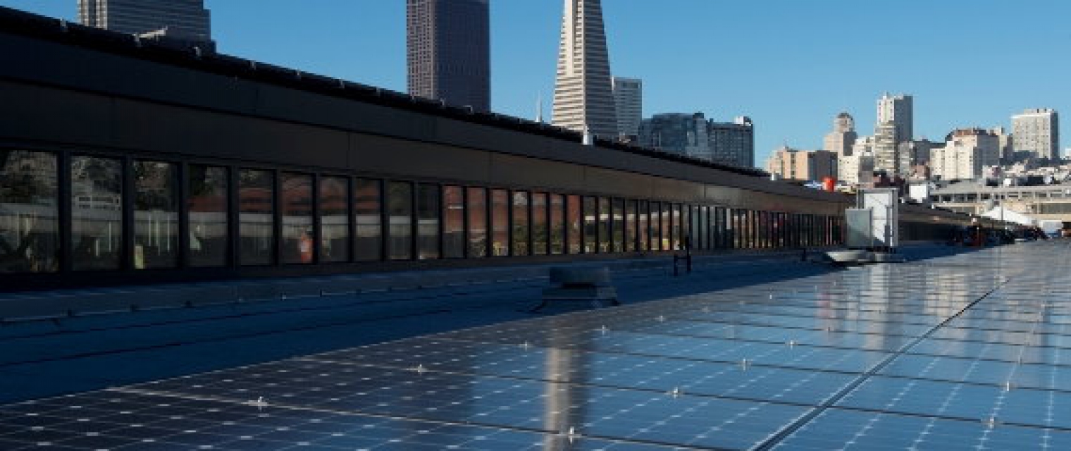
GIS tool for urban areas to simulate variability in space and in time the electric energy load and the yield productions of rooftop PV systems to assess for planning phase
Company: Armines
Proposal: There is a need, in urban area, for GIS-like tool for grid operators, urban planning decision makers, industries, aggregators for solar energy trading, citizen (PV self-consumption) and researchers. This GIS-tool is meant to provide an urban energy system modelling of distribution grids to plan, monitor and nowcast (i.e. and short term forecast) the spatiotemporal variability of the electric consumption on one hand and of the production of fleet of PV rooftop systems on the other hand.

Urban resilience to extreme weather - climate service
Success story
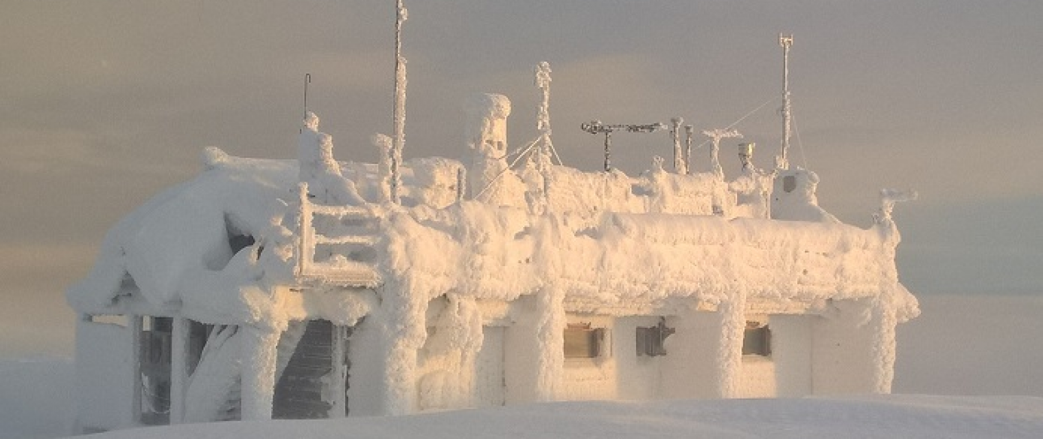
The pilot application is focusing on the sponge city concept and atmospheric phenomena concerning the safety in and around cities. The application focuses on Urban Heat Index, drought and precipitation and provides methods for impact studies and evaluation of different adaptation strategies. Post-processing models will be used for seasonal and shorter-term forecasts and all will be combined with in-situ observations. A seamless product portfolio will help road maintenance companies and city authorities in managing impacts of snowfall events.
Company: DWD
Proposal: Sub-seasonal and seasonal forecasts for urban areas help the cities authorities preparing for hazardous summer and winter weather conditions (e.g. disaster risk reduction management against “urban” heat). The pilot on winter snow accumulation in Helsinki is a good example of how the sub-seasonal and seasonal forecast inclusion help city authorities planning their requirements of street network maintenance during winter. The urban climate projections provide the climatological scientific basis for mid-term and long-term human settlements planning and management especially against heat in disaster-prone areas.

Global Carbon and Greenhouse Gas Emissions
Success story
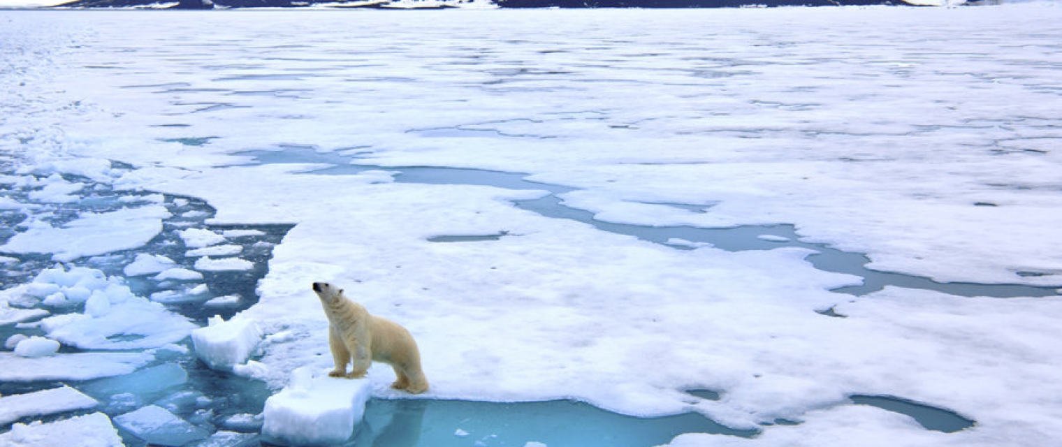
In order for the world to meet the objectives of the Paris Agreement, the scientific community of earth observation and climate science has to come together and address the main identified research gaps. In particular, it is necessary to reduce the remaining uncertainties in the global carbon cycle. Special emphasis must be put on sources and sinks of oceans and terrestrial ecosystems, in order to fully integrate the budgets for the main greenhouse gases (GHG), CO2 and CH4.
Company: ICOS ERIC with MPI-BGC, Germany
Proposal: The Global Carbon Project (GCP) studies the integrated picture of the carbon cycle and other interacting biogeochemical cycles, including biophysical and human dimensions and their interactions and feedbacks. It contributes to the endeavors of UNFCCC, IPCC, GCOS, GEO by annual publication of the Global Carbon Budget (GCB) which has been established as one of the most prominent services to climate policy. It is based on observational data from various sources, that require improved sustainability and quality control, faster process towards near-real-time (NRT) data, combination of satellite and in situ observations, etc. More sophisticated products such as flux maps or integrated models will increase the accuracy of the annual GCB.
ReSAgri - Resilient & Sustainable ecosystems including Agriculture & food
Success story
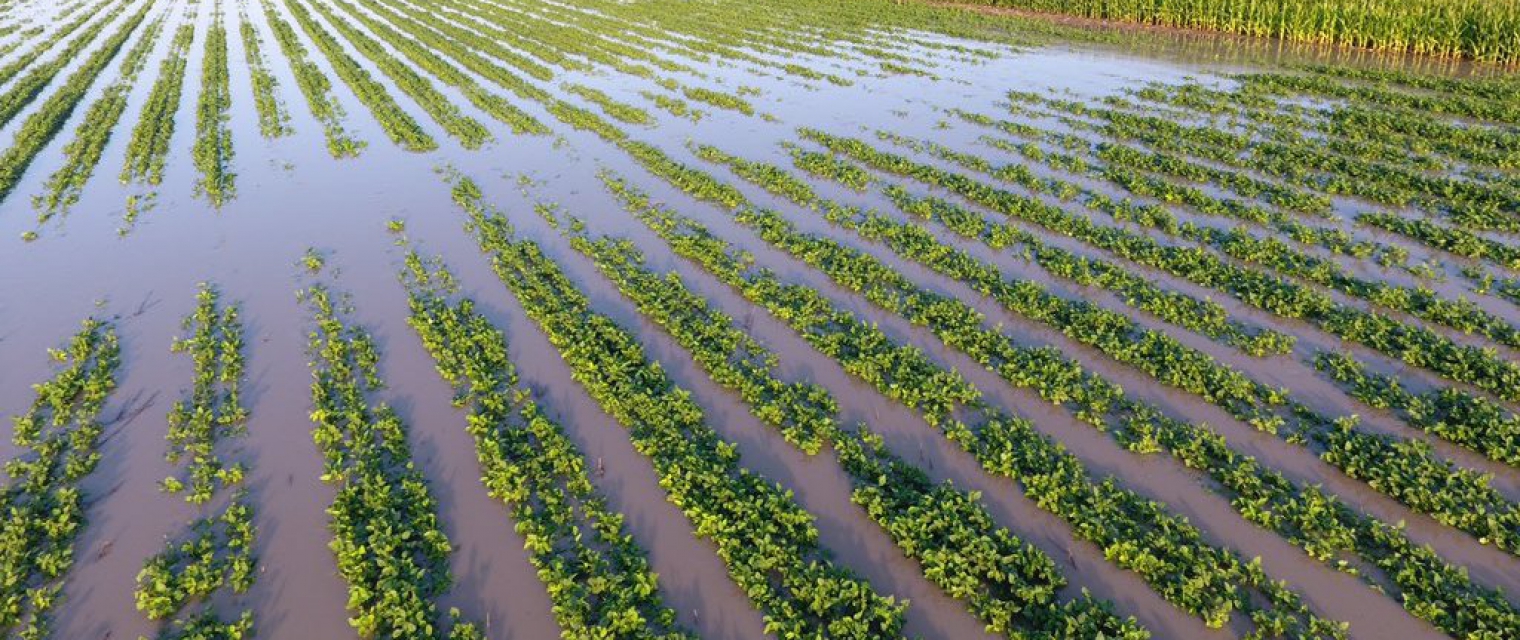
Natural hazards such as droughts, flash floods, and natural and man-induced disasters e.g. forest fires, and floods, are affecting and have a dominant role in natural ecosystems and agriculture, and hence food, resiliency and sustainability. This pilot is being composed by 3 main pillars: i) Gathering and processing of raw EO and meteo data , leveraging on DIAS back-office cloud services and integrating with multiple other data sources (in-situ, crowd, modelled); ii) Risk disaster modelling derived by NOA (risk assessment on various phenomena fires, droughts, seismic, landslides, floods), meteo modelling, flash flooding targeting on timely and accurate information (e.g. warning, alerting), and timely delivery to relevant stakeholders (e.g. farmers, agriculture cooperatives); & iii) Crop type and natural ecosystems mapping leveraging on EO research capacities (TRL 5) relying on machine learning methods in the agriculture domain (e.g. vegetation indices, crop identification etc.), fused with meteo data and coupled with disaster assessments and forecasts , aiming to provide vital thematic information to support the involved user communities (e.g. agriculture agencies, farmers, farming cooperatives) and decision making for the benefit of the agriculture sector and food security. This pilot would integrate an advanced hazard forecasting system to explore the links between heatwaves, wildfires, and floods in synergy with the other pilots of the disaster showcase concerning the development of an innovative meteo modelling solution in higher grid resolution and with EO based assimilation process.
Company: National Observatory of Athens (NOA)
Proposal: This pilot would integrate an advanced hazard forecasting system to explore the links between heatwaves, wildfires, and floods in synergy with the other pilots of the e-shape disaster showcase concerning the development of an innovative meteo modelling solution in higher grid resolution and with EO based assimilation process.
Rheticus® AquaculturePlus
Success story
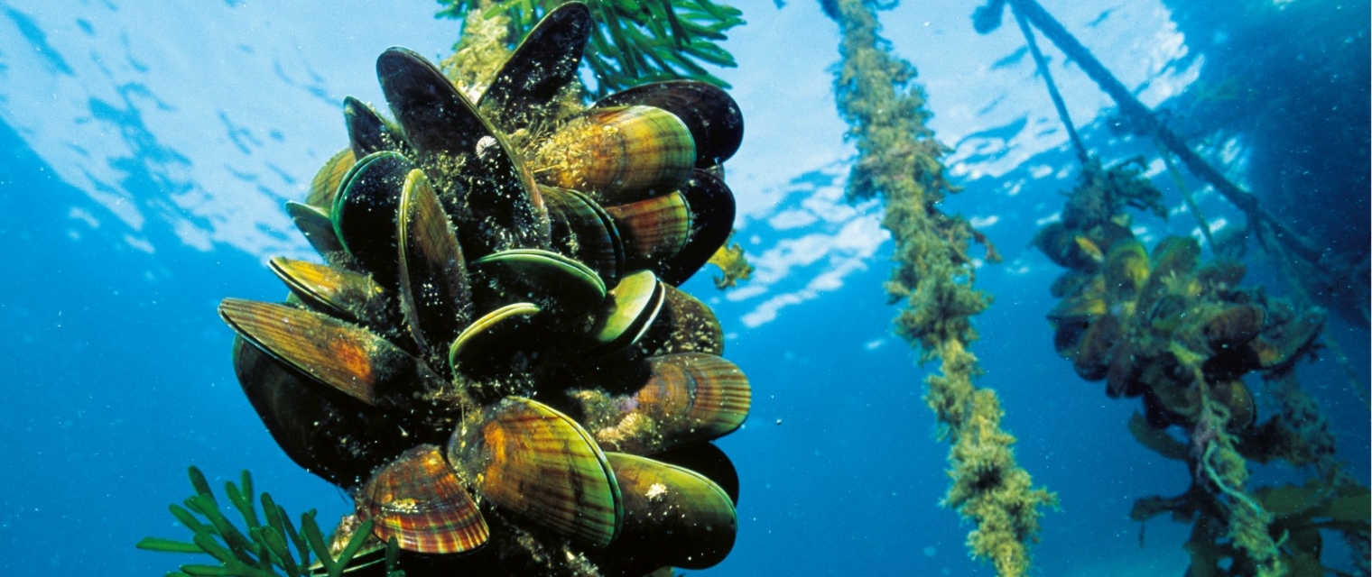
Aquafarmers faces new challenges due to the impact of extreme events mostly related to climate change, leading to changes in the sea temperature and phytoplankton, affecting growth rates and mortality of shellfishes and, therefore, the productivity of farms and the quality of products. As a consequence, aquafarmers can’t rely totally on well-known and established farming practices.
Company: Planetek Italia s.r.l.
Proposal: Using satellite data and derived measurements of water parameters and a model for shellfish growth, Planetek is delivering Rheticus® Aquaculture service, providing information to aquafarmers about mussels’ growth rates, consisting of weekly bulletins with indicators calculated by the algorithms. Within the e-shape project, by organizing pilots in different plants in the Mediterranean Sea with the collaboration of the aquafarmers associations, we intend to scale up the adoption of the Rheticus® Aquaculture service in the Mediterranean and worldwide markets. We will pursue it by codesigning the service with the end-users, and adapting it to the different needs that different areas will require.
How Satellite Earth Observation Can Help With Monitoring For The Water Framework Directive
Success story
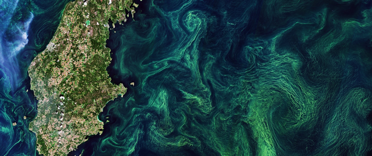
Using knowledge about how certain substances, such as one of the main pigments of the phytoplankton (Chlorophyll a - Chl a) alter the colour of the water, these parameters can be derived from optial Earth Observation (EO) satellite sensors. Water Insight provides monitoring services of Chl a based on EO data which is validated with in situmeasurements. Also the maps of WFD phytoplankton biomass status classes are created, by application of the WFD tresholds on Chl a as a proxy for phytoplankton biomass. The maps are made available in a portal, which allows to follow the lakes in time, zoom and download maps and time series.
Company: Waterinsight
Proposal: Water Insight provides monitoring services of Chl a based on EO data which is validated with in situmeasurements. Also the maps of WFD phytoplankton biomass status classes are created, by application of the WFD tresholds on Chl a as a proxy for phytoplankton biomass. The maps are made available in a portal, which allows to follow the lakes in time, zoom and download maps and time series.
Meet the entities involved in e-shape
