Pioneering H2020 project e-shape, strengthens the benefits for Europe of GEO - establishing ‘EuroGEO’
EuroGEO, as Europe’s contribution to the Global Earth Observation System of Systems, aims at bringing together Earth Observation resources in Europe. It allows Europe to position itself as global force in Earth observation through leveraging Copernicus, making use of existing European capacities and improving user uptake of the data from GEO assets.
Explore e-shape success stories
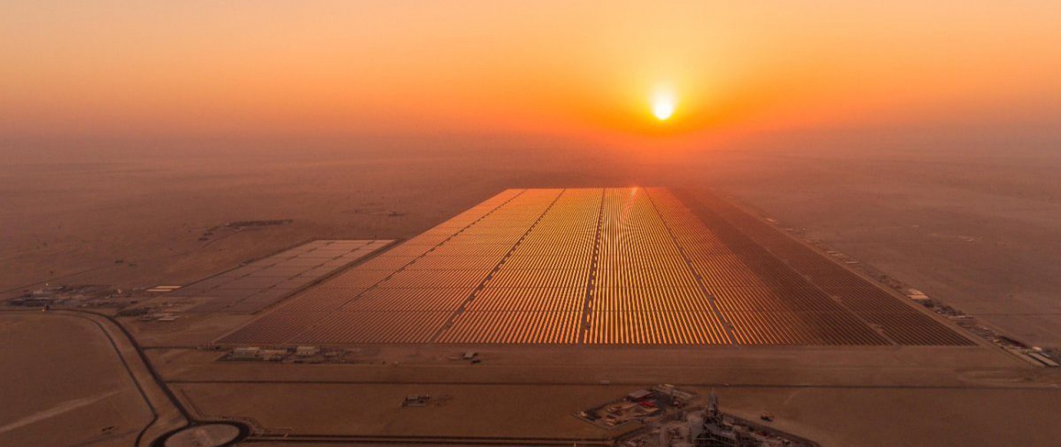
nextSENSE: solar energy nowcasting & short-term forecasting system
Success story
The use of Earth Observation for solar power monitoring and forecasting highlights the value of the modern tool capabilities and skills into energy planning and management.
Company: National Observatory of Athens (NOA)
Proposal: The increased use of the renewable energy sources brings to the fore the simultaneous vital need for improved Earth Observation (EO) solutions for the continuous monitor of solar energy potential and fulfil the increasing integration of solar farms into the electricity grids, the load exchanges, as well as the efficient electricity transmission and distribution. Therefore, through joint solar energy implementation funded projects, the EC's renewable energy policy aims to set up a low carbon environment with relevant services and support by existing and new EO techniques dealing with accurate, nowcast, short-term (STF) and long-term forecast estimations of solar energy.
Climate, Forecasting sunlight exposure, Map and monitor solar energy (solar farms), Alternative Energy, Environmental, Pollution & Climate, Local and regional planners, Utilities (water, electricity, waste)
Dynacrop - unlocking EO intelligence across the food value chain
Success story
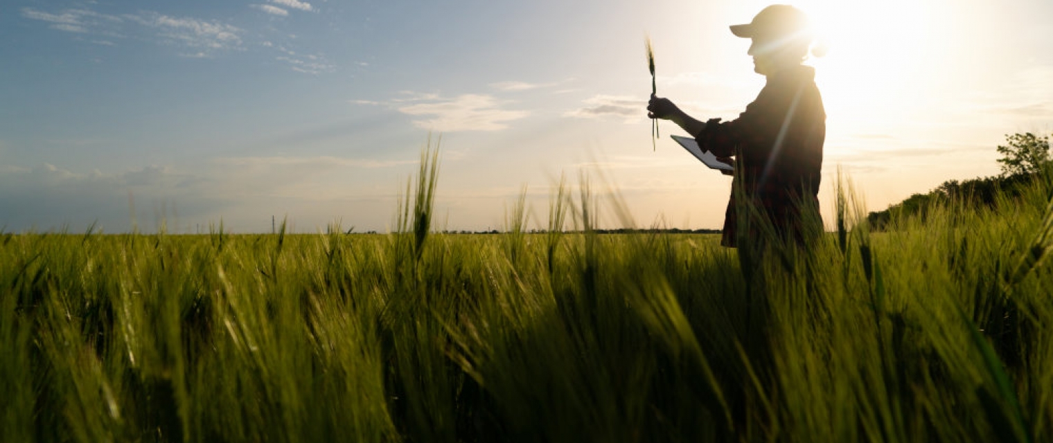
The food production sector must undergo a major change in order to sustain food production for a growing population and turn sustainable and carbon-neutral at the same time. Earth Observation is bringing tools that support the transition, but their adoption is slow due to the high complexity of the issue. DynaCrop is a white-label ecosystem enabling companies in the food value chain to use advanced information, statistics and intelligence based on Earth Observation. It provides ready-made crop monitoring, field statistics, application maps and soil moisture assessment on a global scale.
Company: World from Space
Proposal: DynaCrop pursues a synergy with companies already established in the food value chain and helps them to integrate EO-based information at scale. In this way, it minimizes resources needed for EO integration (money, time, human resources) and provides users with state-of-the-art service. Information is delivered through the value-added platform (API, white label web application, QGIS plugin) and users are receiving user-centric consulting and R&D cooperation as part of the cooperation.

Agrowth
Success story
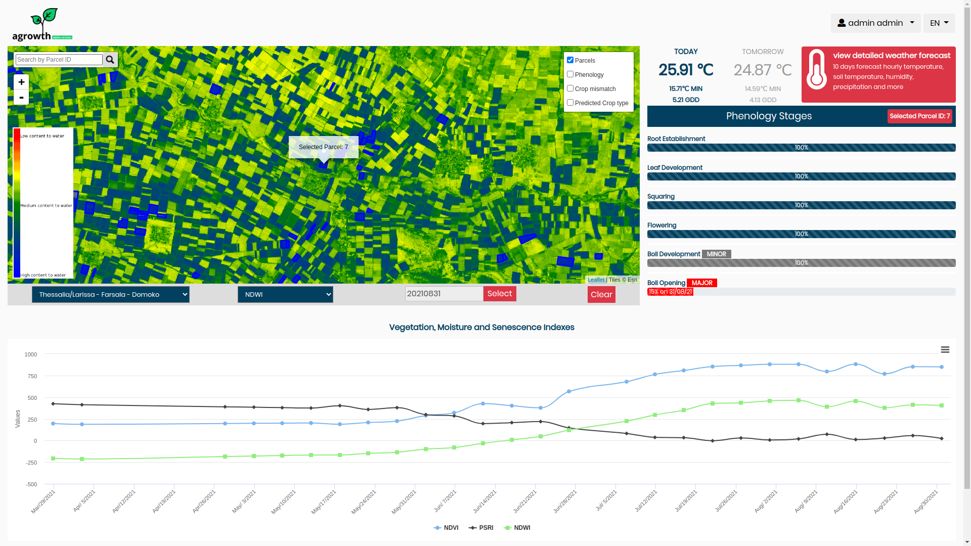
Agrowth platform combines Earth Observation data along with pertinent vegetation indices, soil and weather data. It makes use of state of the art in Artificial Intelligence in order to support smart farming using EO data. Specifically, it provides a crop monitoring service which offers information and/or actionable advice at the parcel level. In the current alpha version, the available services per parcel are: Phenology estimation: It estimates the current phenology stage of crop and the fuzzy transition of them in the course of time. Specifically, it provides the percentage of completion of each stage and it indicates the major and minor phenological stage in order to highlight this fuzziness of transition between of them. Weather Forecast: It visualizes the max and min ambient temperatures per parcel and it interplays with risk.resagri.eu. The user can be transferred at the click to ResAgri’s detailed weather information. Yield prediction: It predicts the yield in kg/ha, weeks earlier from the harvest. Vegetation Indices: It provides charts for the evolution of the vegetation indices NDVI, NDWI, PSRI and some crop specific indices. Furthermore, there are some services for a quick overall view of the state of all available parcels on the map of user. Overlay Satellite Images: It allows to overlay satellite images (RGB or NDVI) over the users’ parcels for a chosen acquisition date and area of interest. Phenology Stage: It colors the outline of each parcel with a color equivalent to its major phenology stage. Crop Classification: It colors the outline of each parcel with a color equivalent to its crop. Daily sowing map: It provides a heatmap for the sowing period of cotton which estimates daily the risk of sowing in a 2km x 2km spatial grid
Date: January 21, 2022
Company: National Observatory of Athens (NOA)
Proposal: The agrowth platform, which is a suite of smart farming services enabled by artificial intelligence, earth observations and numerical weather predictions. Crop phenology and crop yield estimation, the two core services of agrowth, constitute key information for agricultural management and thereby actionable knowledge for the farmer, the agricultural consultant, the insurance company and the policy maker. Using agrowth we can i) reduce the cultivation costs, ii) increase productivity and iii) protect the yield from adverse weather events. All this work is of great significance towards achieving zero hunger, as we help to make more with less
Agriculture, Atmosphere, Climate, Land use


EYWA - EarlY WArning System for Mosquito-Borne Diseases
Success story
More than 80% of the global population lives in areas at risk of at least one major Vector-Borne Disease (VBD), with more than 700.000 deaths at a global scale (WHO, 2020). Mosquitoes are the protagonists of these vectors, transmitting pathogens to living beings with the most important being the Mosquito-Borne Diseases (MBDs) in Europe, namely West Nile Fever linked to Culex mosquitoes, Malaria linked to Anopheles mosquitoes and Chikungunya, Dengue and Zika linked to Aedes mosquitoes. There is a constantly increasing need to innovate on how the continuous threat of MBDs are confronted, treated but most of all foreseen. This gave birth to the idea of EYWA, an integrated and contemporary EarlY Warning System (EWS) for MBD, which utilizes state-of-the-art AI/ML technologies and furthermore assimilates big EO data and geo-spatial information, embodying a complete, adaptable (scalable, and replicable) and operational European EWS. EYWA offers operational and pre-operational services for MBD outbreak (TRL >7 up to 9) in five countries (France, Germany, Greece, Italy, Serbia).
Company: National Observatory of Athens (NOA)
Proposal: EYWA (EarlY WArning System for Mosquito borne diseases) is a prototype system addressing the critical public health need for prevention and protection against the Mosquito-Borne Diseases (MBDs) and lies under the umbrella of EuroGEO Action Group "Earth Observation for Epidemics of Vector-borne Diseases" which is led by the National Observatory of Athens / BEYOND Centre of Earth Observation Research and Satellite Remote Sensing. EYWA seeks to further augment the database of entomological data from non-European territories and evolve the suite of predictive models to include non-European areas where the climate conditions are very different to those found in Europe. This will help make the model predictions even more robust in the face of different inputs.

EO-based surveillance of mercury pollution
Success story
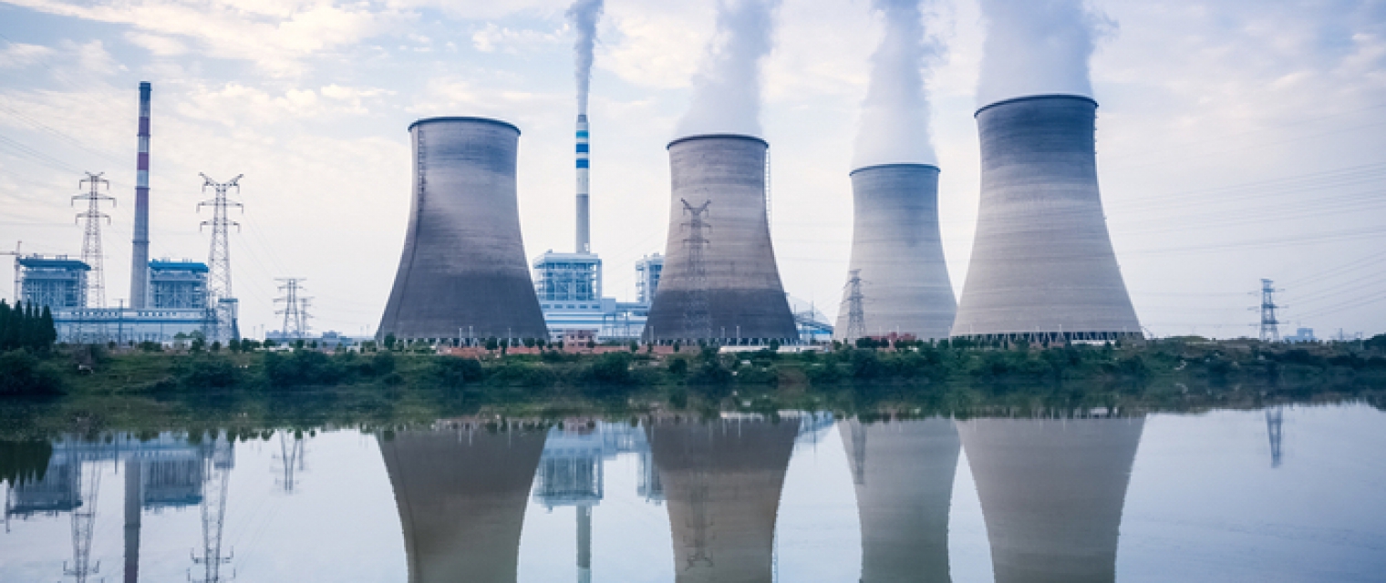
Mercury is a pollutant of global concern. Released to the atmosphere from several anthropogenic and natural sources, it deposits to oceans and terrestrial ecosystems affecting the food chain and ultimately human health. Its effects potentially impact on both human health and the environment, so it is necessary to take into consideration the pathways of exposure for people, and to implement a surveillance for the protection of human beings and of the environment. Efforts at European level have been aimed to develop a Transnational Environmental Observation System in Support of European & International Policies through the Integration of real-time monitoring data from various platforms, modelling tools and an advanced global cyber-infrastructure for data sharing and interoperability.
Company: National Research Council (CNR)
Proposal: New web services for reporting information, as for example atmospheric Hg concentrations in different World regions, mercury’ exchange fluxes between different environmental compartments (e.g. soil, oceans), as well as Hg bioaccumulation in biota. The solution makes use of advanced technologies in the field of EO as demonstrator on how massive datasets could be translated into knowledge and actions.
Atmosphere, Environmental, Pollution & Climate


Vegetation-Index Crop-Insurance in Ethiopia
Success story
The project provides a (i) geodata driven drought monitoring services and (ii) a financial service delivery to smallholder farmers based on a geodata-driven risk-mitigation (insurance) product that offers a basic safety net to protect them against the weather related peril ‘drought’.
Company: University of Twente
Proposal: The service will consist of (i) detecting and insuring false starts of the main growing season, (ii) introducing a ‘new-generation’ drought monitoring service that provides locally accurate semi-quantitative impact assessments (0-100%), and (iii) creating support through a versatile App to create ground-inventories of farmers assessments regarding suffered yield-gaps.
Agriculture, Land use, Farming, Insurance & Finance

Meet the entities involved in e-shape
