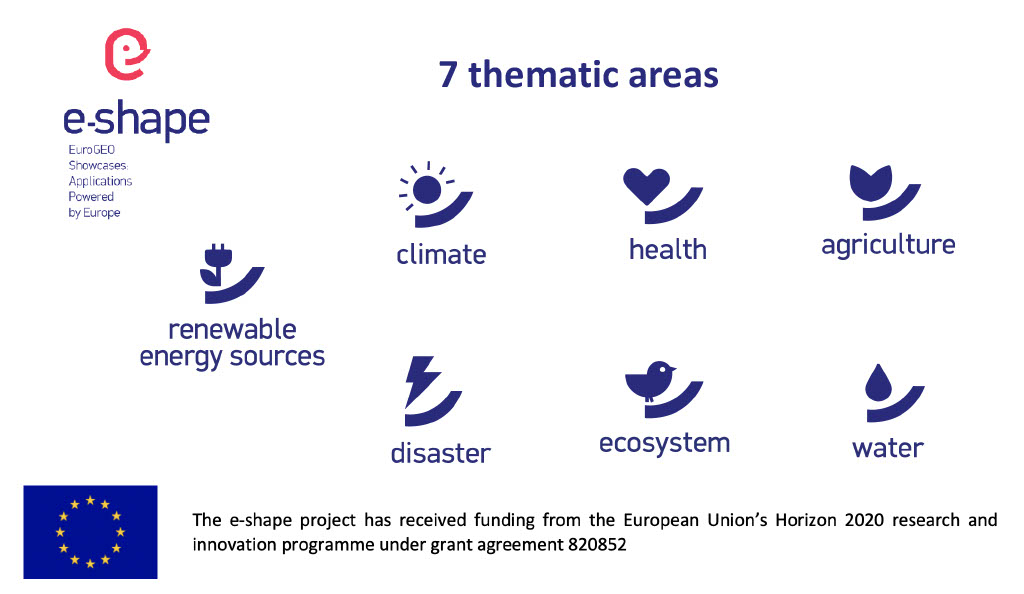
Pioneering H2020 project e-shape, strengthens the benefits for Europe of GEO - establishing ‘EuroGEO’
EuroGEO, as Europe’s contribution to the Global Earth Observation System of Systems, aims at bringing together Earth Observation resources in Europe. It allows Europe to position itself as global force in Earth observation through leveraging Copernicus, making use of existing European capacities and improving user uptake of the data from GEO assets.
Explore e-shape success stories

Agro industry
Success story
Providing services able to support agriculture activities to resist and adapt to climate change and at the same time ensuring the increase of productivity in a sustainable manner. Showcasing that Copernicus data sets combined with the necessary in-situ data (collected based on information collected from farm machines, industry experts and field sensors), weather and soil data can deliver improved information for-and deliver economic value to European agricultural industry and farmers. The concept is built upon a smart combination of in situ, weather and EO data. Data collected in the GEOGLAM pilot of the Agricultural showcase will be adapted to address the needs of the agro industry.
Company: VITO
Proposal: The service aims at supporting agriculture activities to resist and adapt to climate change and at the same time ensuring the increase of productivity in a sustainable manner. The provision of improved indicators for agricultural monitoring based on in situ, meteo, soil and RS data, addresses the needs of agro industry and farmers. The tool supports agro consultants in their advice to farmers and demonstrate methodologies implementable at field level.
Agriculture, Land use, Farming

GEOGLAM
Success story
The aim is to demonstrate how Copernicus data can be used, in combination with other ancillary datasets (in situ data, static maps,…), to provide improved indicators for agricultural monitoring in an operational setting. Through previous discussions with and among the end users, the EAV (essential Agricultural Variable) crop calendar was identified as a suitable showcase, given its relevance in many monitoring systems, while it is currently not available at the Sentinel 1&2 resolution and at a larger scale. We will build on existing methodologies that are currently incorporated in different operational services, but with further improvements and adaptations that will be required to tackle issues that arise when monitoring agricultural areas at such a high resolution. On the other hand, because of the high resolution, parcel-level monitoring now becomes feasible in many regions of the world. This parcel-level monitoring has many advantages, which open up opportunities to also improve the definition of crop calendars with EO data.
Date: January 26, 2022
Company: VITO
Proposal: Building on existing operational tools and modifying them to meet the specific user needs of the GEOGLAM community. Integrating the above mentioned datasets with the Copernicus DIAS storage and processing power. This will allow the monitoring of several essential climate variables (e.g. LAI) and the development of agricultural metrics that are more quantitative and look beyond the current growing season as requested by the GEOGLAM community represented by the GEOGLAM secretariat.
Agriculture, Land use

Proactive Pipeline Maintenance With Rheticus® Network Alert
Success story
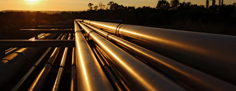
Like many utility companies that manage water and sewage infrastructure, Hera constantly monitors subtle ground movement on its 3,852 miles of pipeline. Subsidence “doesn’t need to be dramatic to be destructive and costly,” said a Hera spokesperson. “Ground motion of even a few centimeters around buried pipelines can cause leaks in the pipes, and not just water and sewer pipes — gas, electricity, and telecommunications can all be affected. These leaks can then accelerate the erosion around the critical area, damaging service and possibly creating larger problems.”
Company: Planetek Italia s.r.l.
Proposal: Planetek Italia is an Italian company, established in 1994, which employs 50 men and women, passionate and skilled in Geoinformatics, Space solutions, and Earth science. We provide solutions to exploit the value of geospatial data through all phases of data life cycle from acquisition, storage, management up to analysis and sharing. We operate in many application areas ranging from environmental and land monitoring to open-government and smart cities, and including defence and security, as well as Space exploration and satellite missions. The main activity areas are: Satellite, aerial and drone data processing for cartography and geo-information production; Continuous monitoring with satellite data of Earth’s surface, infrastructures, work sites, urban dynamics or marine coastal areas in support of decision-making and operational activities Design and development of Spatial Data Infrastructures (SDI) for geospatial data archive, management and sharing; Design and development of real-time geo-location based solutions, through positioning systems such as GPS/Galileo/GNSS and indoor location systems; Development of software for the satellite on-board data and image processing and for ground segment infrastructures.
Urban Areas, Monitor urban areas, Asset infrastructure monitoring

EOs Adding Value To Historical Water Availability And Quality Information Services
Success story
The Swedish Meteorological and Hydrological Institute, SMHI, provides new information, forecasts and knowledge of water resources in Sweden and world-wide, covering different spatial and temporal scales and a broad range of users. This EO service, upscales water services from national to global scales.
Date: January 26, 2022
Company: Swedish Meteorological and Hydrological Institute (SMHI)
Coastal, Marine ecosystem, Meteorology


The GOS4M Knowledge Hub Designed For End-Users To Assess The Effectiveness Of Measures Undertaken Under The Minamata Convention On Mercury
Success story
The Global Observation System for Mercury (GOS4M) is a Flagship initiative of the Group on Earth Observation established to support national and international organizations, governments, and all interested parties to achieve the target of the Minamata Convention on Mercury (MCM) by making availbale EO data sets, data analytics and modeling tools to assess different socio-economic scenarios of emissions reduction for anthropogenic sources. The full involvment of the scientific community, governments, civil society and private sectors is a key in the activity of the GOS4M.
Date: January 26, 2022
Company: National Research Council (CNR)
Atmosphere, Land use, Marine ecosystem, Environmental, Pollution & Climate, Local and regional planners, Retail and Geo-marketing, Oil and Gas, Utilities (water, electricity, waste) , Fisheries


Satellite-derived bathymetry for guiding nautical navigation
Success story
The client is a pilotage company that plans out voyages for vessels to be able to safely navigate in the Polar regions. They are highly dependent on accurate maps to provide the best possible service.
Date: January 1, 2018
Company: DHI GRAS
Proposal: We were commissioned by the client to provide them with accurately mapped coastlines at both low and high tide, as well as identify submerged hazards, such as reefs, rocks and sand banks.
Small to Medium Size Business, shipping and navigation, Detect and monitor ice-risk at sea, ship routing, Sea-ice and icebergs, Ships
Meet the entities involved in e-shape
