Galerie
Gallery
Entreprise
DHI GRAS
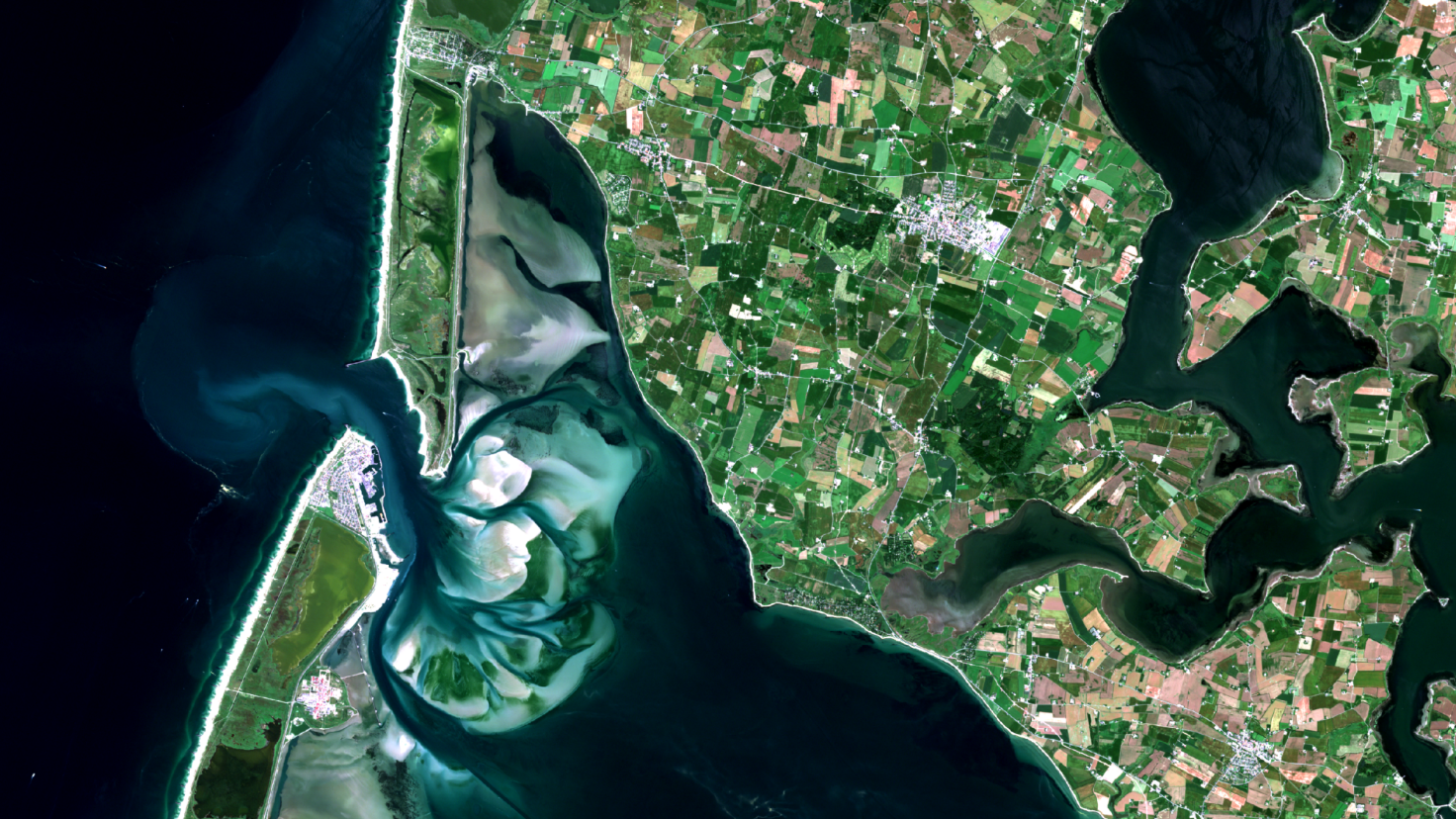
We use Earth Observation satellite images to analyse, map, monitor and forecast Earths natural resources to help our clients understand the changes and developments that are taking place.


Sur
We are a Danish company specialised in satellite image and data processing for hydrology, water quality, environmental assessment and land cover mapping. We handle the entire data flow from the reception and processing of satellite images to the delivery of the requested final information product.
Agriculture; Forests; Inland Water; Snow & Ice; Land Ecosystems; Land use
