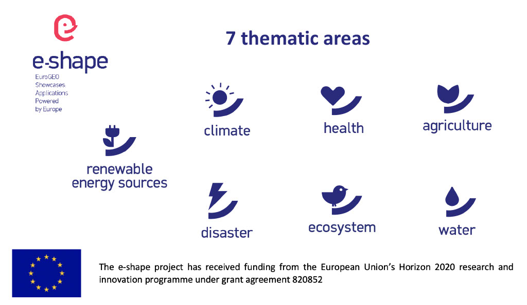
Pioneering H2020 project e-shape, strengthens the benefits for Europe of GEO - establishing ‘EuroGEO’
EuroGEO, as Europe’s contribution to the Global Earth Observation System of Systems, aims at bringing together Earth Observation resources in Europe. It allows Europe to position itself as global force in Earth observation through leveraging Copernicus, making use of existing European capacities and improving user uptake of the data from GEO assets.
Explore e-shape success stories
Storia di successo
WindSight - First class input data for wind energy models
Profilo
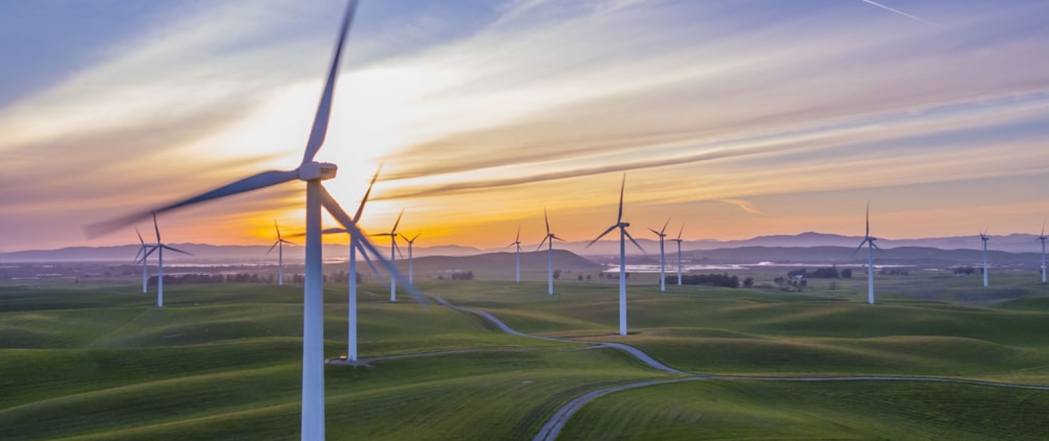
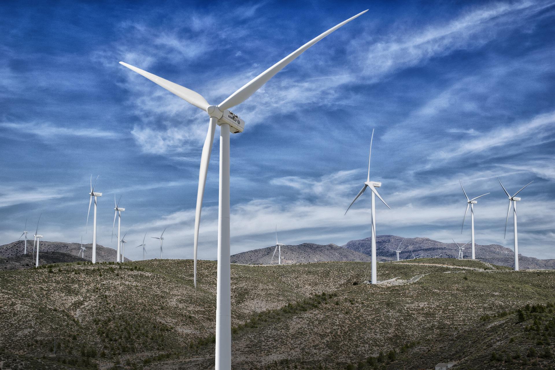
The cost and financing of new wind energy projects on land depends on the Annual Energy Production (AEP) and how accurate it can be estimated. High quality input data for modeling the AEP is valuable for the wind energy industry prior to wind farm construction.
Proposta
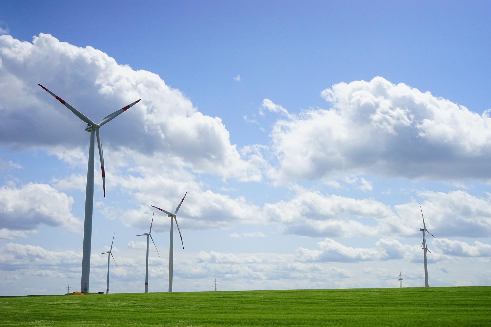
WindSight is a suite of novel EO-based products for characterization of the land surface roughness and topography anywhere in the world. Together with state-of-the-art flow modeling tools for wind energy planning and prospecting, WindSight can replace current procedures for land surface characterization, which are based on manual assessment, coarse global data sets, or costly airborne measurement campaigns.

Benefici
- Better understanding of users' needs and more suitable solution thanks to co-design approach
- Provision of sustainable EO data and derived products
- Improved decision making and planning
Meet the entities involved in e-shape
