Galeria
Gallery
Historia sukcesu
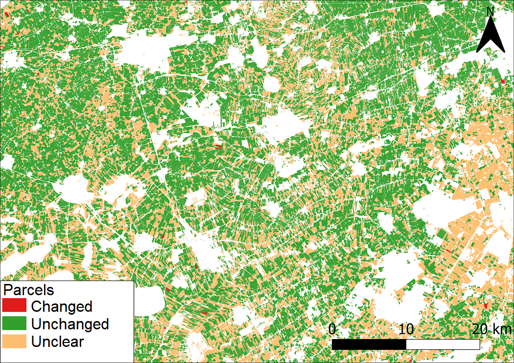
Parcel change detection in the Netherlands
Agriculture; crop acreage; Monitor crops; Assess land value, ownership, type, use; Land use; cadastral

Wniosek
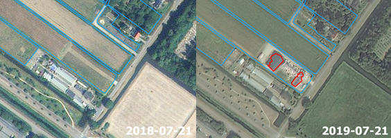
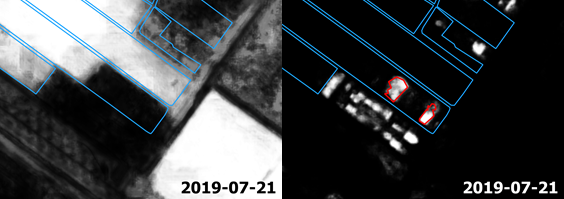
The service automatically checks satellite imagery time series and delivers a classification of parcels in line with the requirements. Additionally a dataset of 2D geometries of suspected changes, including properties of the change signal such as nature of change (e.g. building, water, vegetation) and date of change is delivered to add further efficiency to the process of updating the geometries of the parcels, in order to comply with LPIS requirements.

Korzyści
- Savings in hours spent on manual work (and thus on budget)
- Increasing update frequency from 3 years to 1 year (and potentially shorter, depending on availability of satellite imagery).
- Savings due to increased efficiency in the further process of geometry updating based on the change signal properties


