Galeria
Gallery
Monitoring
Monitoring trees
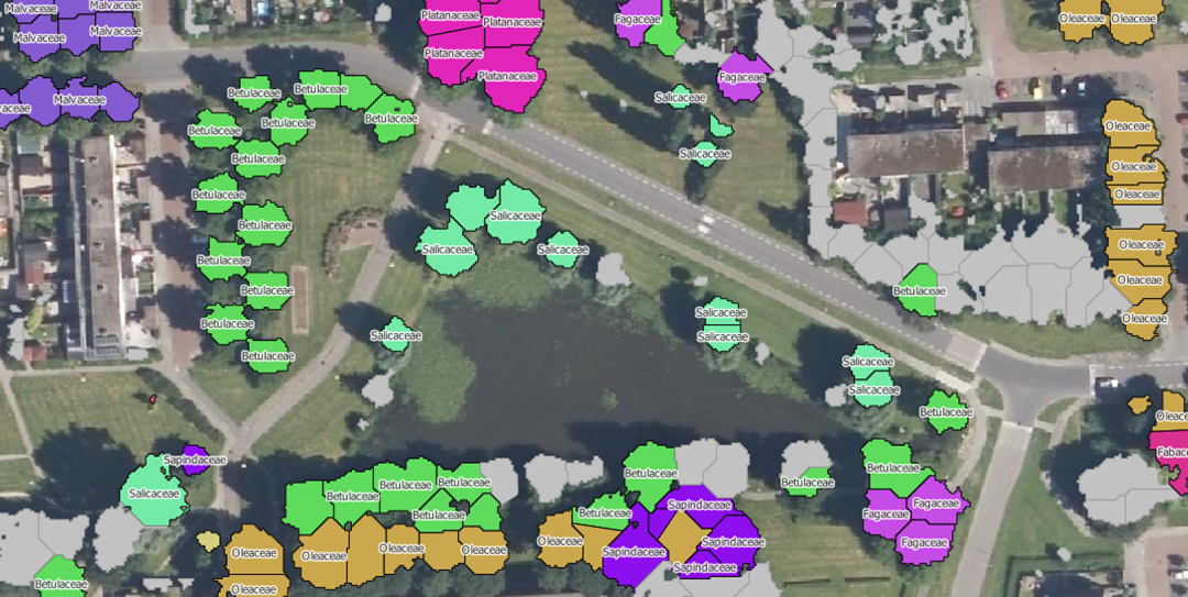
NEO is monitoring trees using satellite data and deep learning methodologies. Basic information such as height, diameter and species of trees can be monitored with our service.
Forests; Assess Deforestation / Forest Degradation; Assess forest damage due to storms or insects; Monitor forest resources; Land use; Forestry

Opis produktu
NEO is monitoring trees using satellite data and deep learning methodologies. This service informs people about the status of different trees species in their surrounding/municipality. Trees managed by municipalities can be checked on presence and correct attributes such as tree height.
Korzyści
Benefits description
- Satellite images cover a large area in a short time.
- Low prices compared to field research
- Forest inspectors know exactly where to look
Specyfikacja techniczna
Miejsce obsługi
Netherlands

