Galeria
Gallery
WindSight
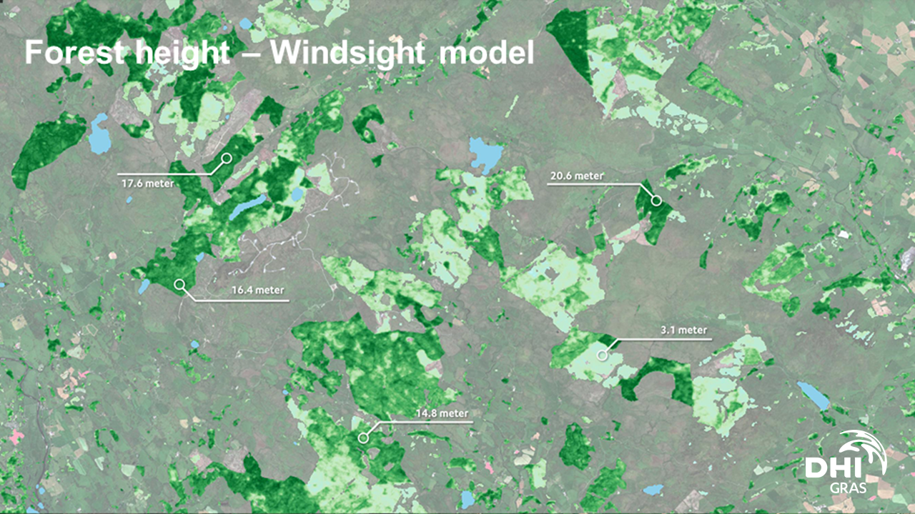
WindSight is a suite of novel EO-based products for characterization of the land surface roughness and topography anywhere in the world. Together with state-of-the-art flow modeling tools for wind energy planning and prospecting, WindSight can replace current procedures for land surface characterization, which are based on manual assessment, coarse global data sets, or costly airborne measurement campaigns.

Opis produktu
Mapping the requirements and the willingness to pay for data at different stages of land based wind farm planning. Establish co-creation cycles with end users from the wind energy industry. Develop a sustainable business case for the provisioning of EO data and derived products over land to the wind energy industry.
Korzyści
Benefits description
Specyfikacja techniczna
Miejsce obsługi
Service place description

