Success story
Monitoring trees for nature conservation law


Proposal
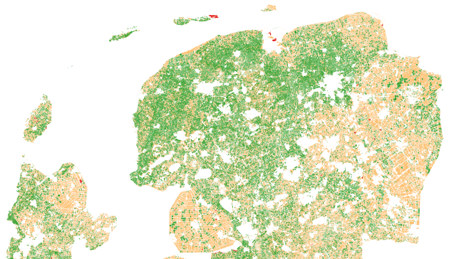
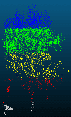
On behalf of several provinces NEO has monitored whether trees disappeared in areas that fall under the nature conservation law. The enforcement of this law is difficult, as areas are enormous and human resources limited. By monitoring the trees in an automated way NEO delivers only the most relevant changes to the client to follow up in the field. The nationwide tree database of the Boomregister that was developed by NEO is used as baseline. Satellite data is used as source for the yearly updates. We use deep learning algorithms to signal where trees have disappeared, and filter them to only keep the most relevant ones.
Benefits
Services comparison
services
Related Content
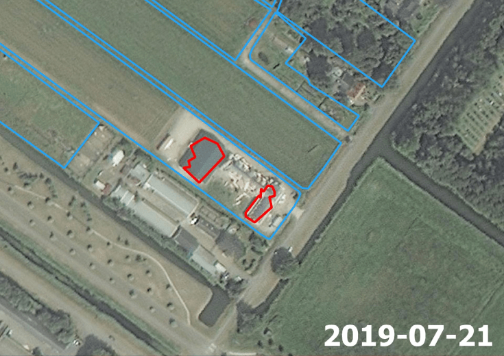
Mutation Signalling on agriculture parcels in the Netherlands
Agriculture, crop acreage, Monitor crops, crop types extent, Land use, Assess land value, ownership, type, use, Measure land use statistics, Agricultural commodities, Agriculture and rural development policy, Farming, Real-estate management, Local and regional planners, City authorities, Planners, Regional governments, Town authorities, Agriculture and rural policy makers
NEO signals changes to agriculture parcels. Monitoring, based on satellite imagery in combination with artificial intelligence, aims to detect changes in the boundaries of the parcels. The service saves time and money because, based on the mutation signalling, parcels can be looked at more specifically to determine the new parcel boundaries. This supports the process of keeping the national LPIS (Land Parcel Identification System) registry up to date. The service that NEO provides is unique: it is the first time that mutation signalling based on earth observation is performed automatically on this scale. In this way the 500.000 parcels in the Netherlands are monitored. Open data from the national satellite data portal in the Netherlands is used.
Added
Added
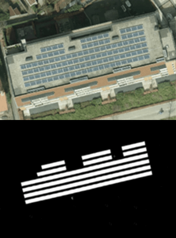
Solar panel service
Infrastructure, Map and monitor solar energy (solar farms), solar energy, solar radiation, Monitor urban areas, Urban Areas, urban development, urban settlement, urban atlas, urban areas, smart cities, individual houses inventory, Alternative Energy, Regional planners, Solar energy, Environment, Real-estate management
NEO monitors solar panels throughout the Netherlands using deep learning methods. Solar panels are detected using various resolutions of satellite and aerial imagery. The panels are digitalized by the algorithm and related to 3D-roofs based on the AHN (Dutch national height model) to calculate zenith and azimuth angles. This data, combined with data such as solar power, allows NEO to estimate the power output for each object. Solar panels are also provided with parcel and address information and statistical reports, so customers can easily apply the data and relate it to internal registrations.
Added
Added
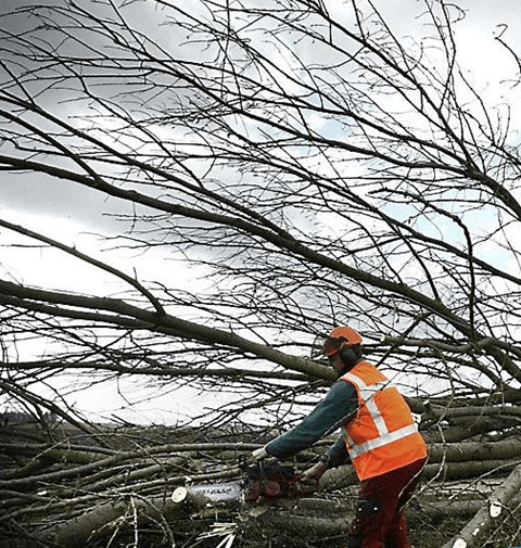
Monitoring trees
Forests, Assess Deforestation / Forest Degradation, Assess forest damage due to storms or insects, Monitor forest resources, Land use, Forestry, Forest policy, Forest policy makers, Logging industry, Wood industry
NEO is monitoring trees using satellite data and deep learning methodologies. This service informs people about the status of different trees species in their surrounding/municipality. Trees managed by municipalities can be checked on presence and correct attributes such as tree height.
Added
Added