Gallery
Gallery
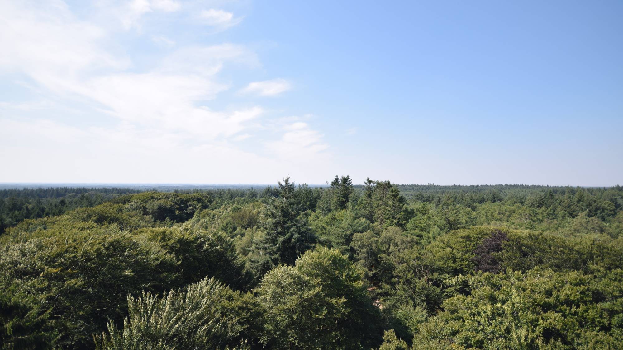
Monitoring trees for nature conservation law
Success story
NEO is monitoring whether trees are disappearing in areas that fall under the Nature Conservation Law, using satellite data and deep learning methodologies.
Date: December 24, 2019
Company: NEO
Proposal: On behalf of several provinces NEO has monitored whether trees disappeared in areas that fall under the nature conservation law. The enforcement of this law is difficult, as areas are enormous and human resources limited. By monitoring the trees in an automated way NEO delivers only the most relevant changes to the client to follow up in the field. The nationwide tree database of the Boomregister that was developed by NEO is used as baseline. Satellite data is used as source for the yearly updates. We use deep learning algorithms to signal where trees have disappeared, and filter them to only keep the most relevant ones.
Public Authority, Forests, Assess Deforestation / Forest Degradation, Detect illegal forest activities, Forestry, Forest management, Forest policy, Forest policy makers, Forest services, Logging industry, Wood industry, Local and regional planners, City authorities, Regional governments, Town authorities
Preciso® Landslide
Service
Preciso® landslide uses readings taken from Synthethic Aperture Radar (SAR) data to measure sub-centimetric movements of reference points on the ground.
Landslides, landslide monitoring, subsidence detection, Infrastructure
Firemaps.net
Service
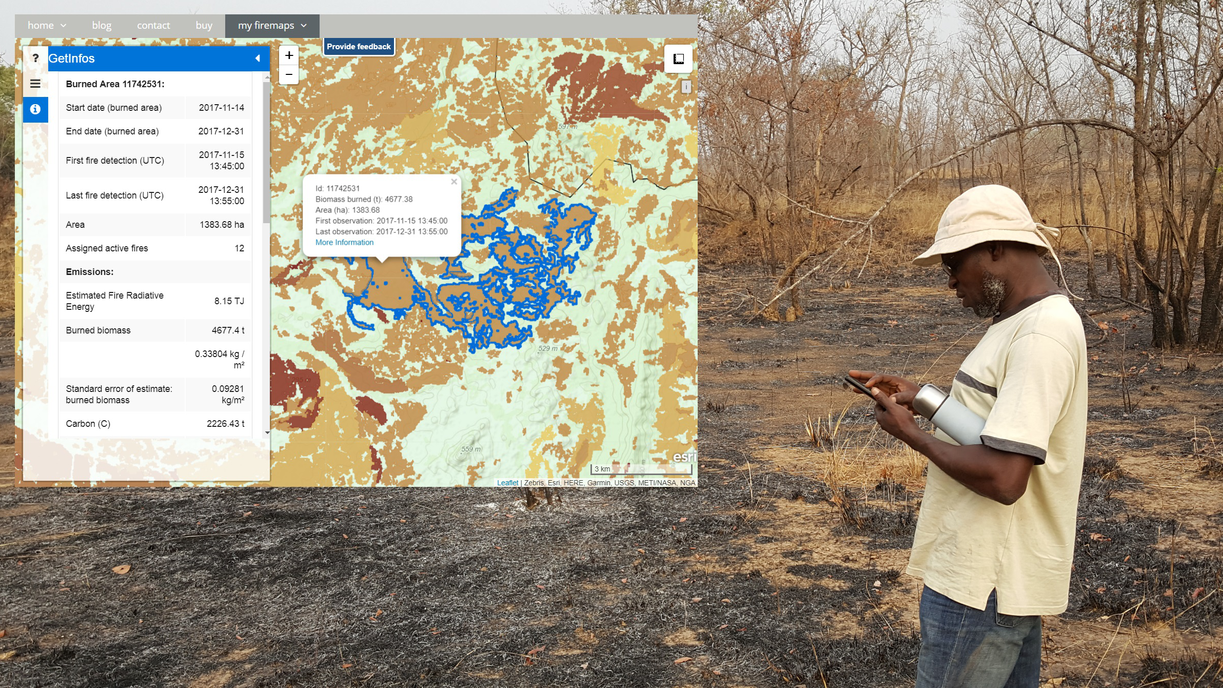
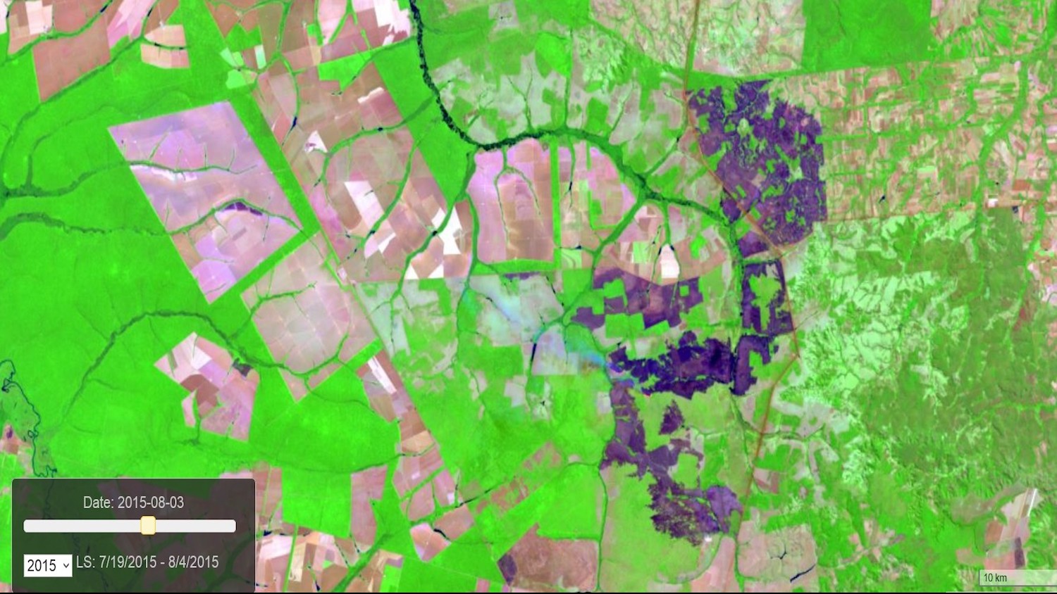
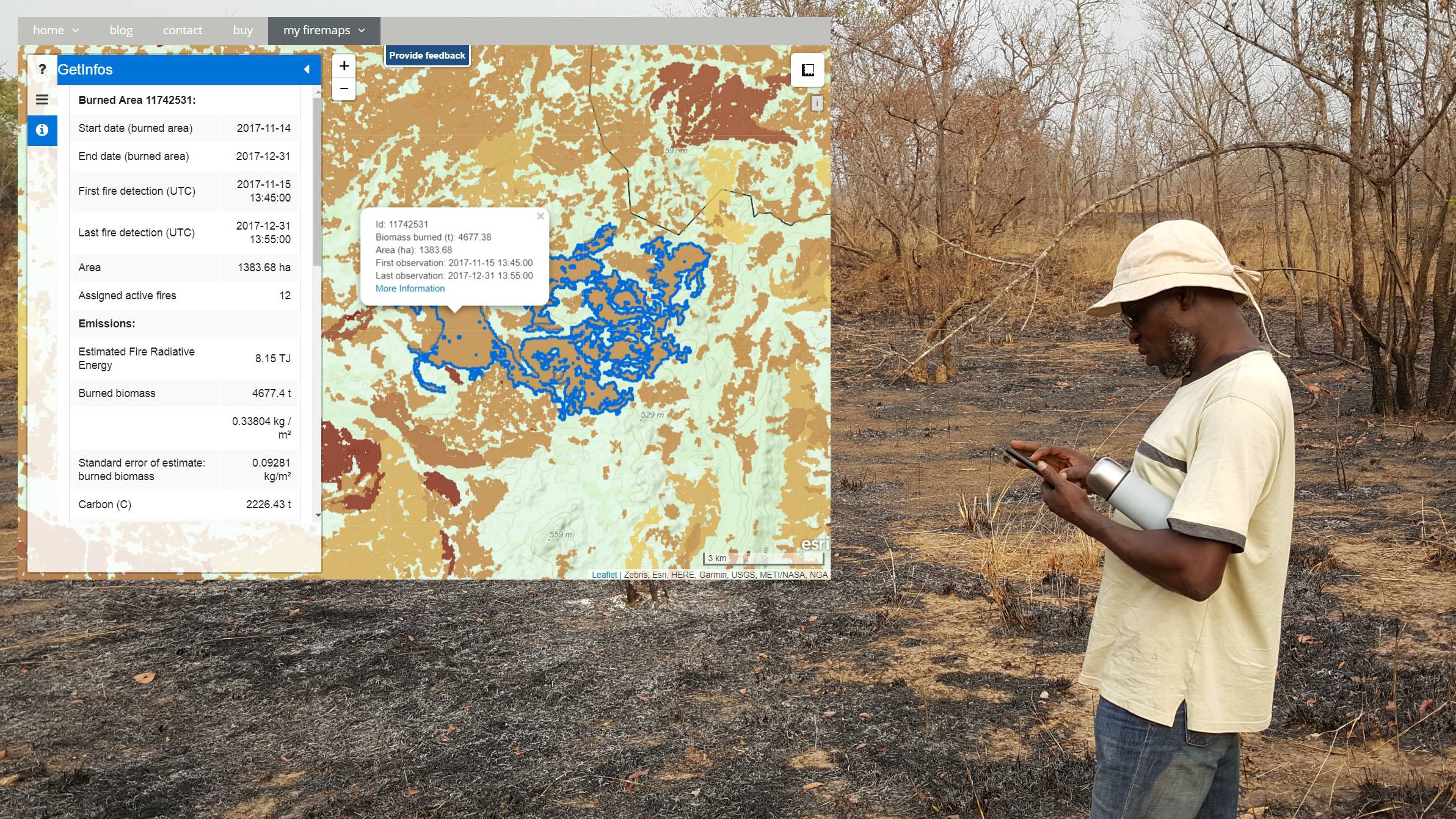
Firemaps.net provides monitoring of fires from satellites.
Fires, burnt scars, damage, forest fire risk, fire extent, Climate, Atmosphere, Insurance & Finance

Firemaps.net supports management of UNESCO World heritage Site in West African Savanna
Success story
The UNESCO World heritage Site Comome National Park in Cote d'Ivoire, West Africa, is affected by large scale fires every year.
Date: January 15, 2016
Company: Zebris Gbr
Proposal: To provide park managers with more insight into the fire dynamics of this large park and two adjacent agropastoral areas, ZEBRIS proposed the use of the platform firemaps..net to provide frequent and timely updates of burned areas and near real time monitoring of fires. To assess greenhouse gas emissions, measuring biomass burning and smoke release rates with infrared satellites was proposed. Fire risk and vulnerability were to be analysed using satellite data of past fire events, land cover information, weather data and fire behaviour models. Analysis and reporting-ready statistics were to be done largely automated in the processing environment provided by firemaps.net and served through a web GIS interface or as downloadable raster and vector data.
Public Authority, Detect and monitor wildfires, forest fire risk, damage


Planetek Italia s.r.l.
Company
Planetek Italia is an Italian company, established in 1994, which employs 50 men and women, passionate and skilled in Geoinformatics, Space solutions, and Earth science.
Landslides, subsidence, Detect and monitor ground movement , Fisheries, Aquaculture
DHI GRAS
Company
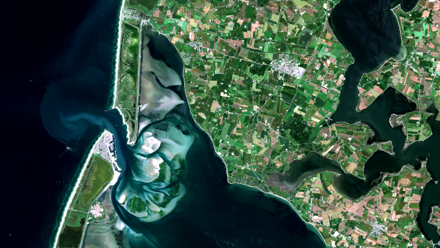
We use Earth Observation satellite images to analyse, map, monitor and forecast Earths natural resources to help our clients understand the changes and developments that are taking place.
Agriculture, Forests, Inland Water, Snow & Ice, Land Ecosystems, Land use, Topography, Geology, Urban Areas, Infrastructure, Alternative Energy, Utilities (water, electricity, waste) , Hydroelectric, Power station, Regional planners, Regulatory bodies, Wind energy
World from Space
Company
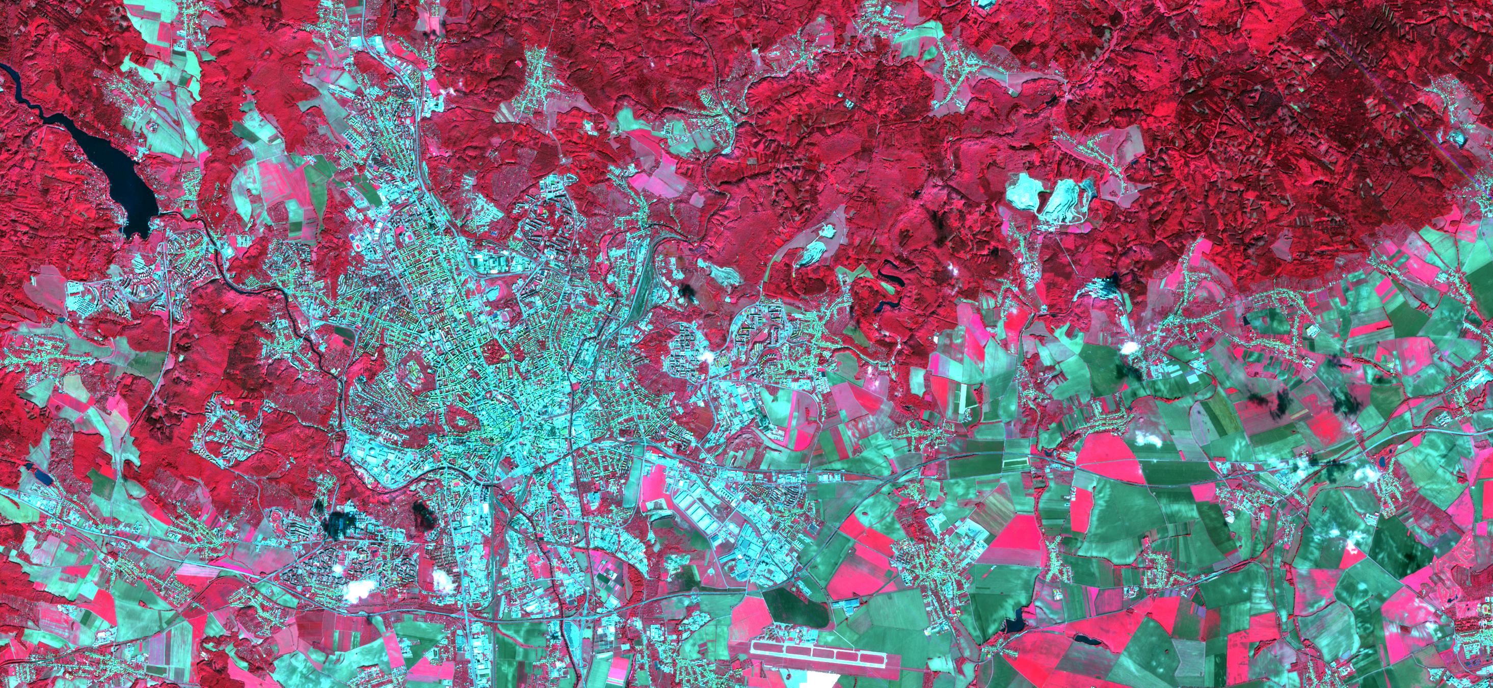
World from Space is a company focusing on the creation of applications based on Earth Observation (EO) and other data, especially from the Copernicus programme. WFS has experience with EO data processing (multispectral, SAR), spatial and temporal data analysis, visualizations, machine learning and integrations into software platforms or GIS. WFS fosters agile EO development with focus on activities that bring the most value in areas of agriculture, cities, air quality, development asiistance and the environment. WFS participates on ESA contracts, H2020 research projects and consultations on the use of Copernicus data and services. World from Space is incubated in ESA BIC Brno, take part in Copernicus Incubator and is the winner of the Copernicus Masters 2018.
Agriculture, Atmosphere, Urban Areas, Land Ecosystems, Environmental, Pollution & Climate, Farming
Zebris Gbr
Company
ZEBRIS counts on twenty years of experience in supporting sound natural resource management through (geographic) information. We provide solutions in the fields of forestry, water resources management, land fire management, soil protection, agriculture, and risk management. We provide our customers with state-of-the-art technical and scientific consulting services and solution development, building on a strong experience gained in projects on four continents. ZEBRIS has developed firemaps.net, a platform solution for supporting fire managers, and LandManager, a solution to support watershed management. ZEBRIS is an SME with an annual turnover of about 4-5 K Euro and a staff of seven technical and scientific experts.
Agriculture, Forests, Atmosphere, Fires, Detect and monitor wildfires, Monitor air quality & emissions, Forecasting sunlight exposure, Monitor atmosphere composition, Climate, Insurance & Finance
RSS-Hydro
Company
Dynamic R&D Company which operates across fields in environmental Remote Sensing and modeling of water risks. We constantly strive to achieve inspiring and tailor-made solutions that make a genuine difference to our Public & Private customers, as well as society as a whole.
Agriculture, Atmosphere, Climate, Coastal, Fires, Floods, Forests, Geology, Infrastructure, Inland Water, Land Ecosystems, Land use, Meteorology, Sea-ice and icebergs, Snow & Ice, Topography, Urban Areas, Construction, Education, training and research, Emergency Services, Environmental, Pollution & Climate, Farming, Forestry, Humanitarian Operations and Health, Insurance & Finance, Maritime, Transportation, Utilities (water, electricity, waste)

European Space Imaging
Company
Since the launch of the first commercial VHR satellite, European Space Imaging has been committed to providing much more than the world’s highest quality satellite imagery. We provide solutions. Utilising our multi-mission ground station at the German Aerospace Center, the team of geospatial experts at European Space Imaging are able to bring together unique partnerships, innovative techniques and tailored services to achieve results for any project.
Agriculture, Climate, Coastal, Earthquakes, Fires, Fisheries, Forests, Geology, Infrastructure, Land use, Landslides, Security, Ships, Urban Areas, Topography, Volcanos, Construction, Emergency Services, Environmental, Pollution & Climate, Farming, Fisheries, Forestry, Humanitarian Operations and Health, Maritime, Minerals and Mining, Oil and Gas, Security, Defence and military, Transportation, Utilities (water, electricity, waste)
Latitudo 40
Company
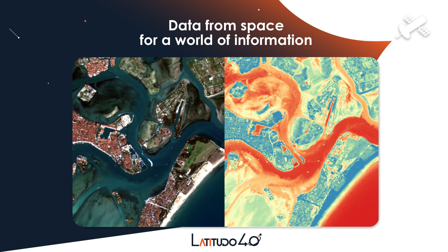
Latitudo 40 has created the easiest and fastest platform to turn satellite imagery into geospatial information to support everyday decisions.
Agriculture, Climate, Floods, Infrastructure, Land Ecosystems, Land use, Urban Areas, Environmental, Pollution & Climate, Farming, Forestry, Insurance & Finance, Real-estate management, Utilities (water, electricity, waste) , Alternative Energy

Detektia Earth Surface Monitoring S.L.
Company
Monitoring ground and infrastructures from the space in a single click. Detektia develops low-cost infrastructure monitoring tools based on the latest RADAR satellite technologies and Artificial Intelligence to improve the objective interpretation of results and facilitate the decision-making.
ExoLabs
Company
ExoLabs is a Swiss company located in Zurich, founded in 2017 as a spin-off of the University of Zurich. Remote sensing is our common interest and scientific background.
Agriculture, Forests, Land use, Snow & Ice, Forestry, Farming, Environmental, Pollution & Climate, Insurance & Finance, Travel, Tourism and Leisure
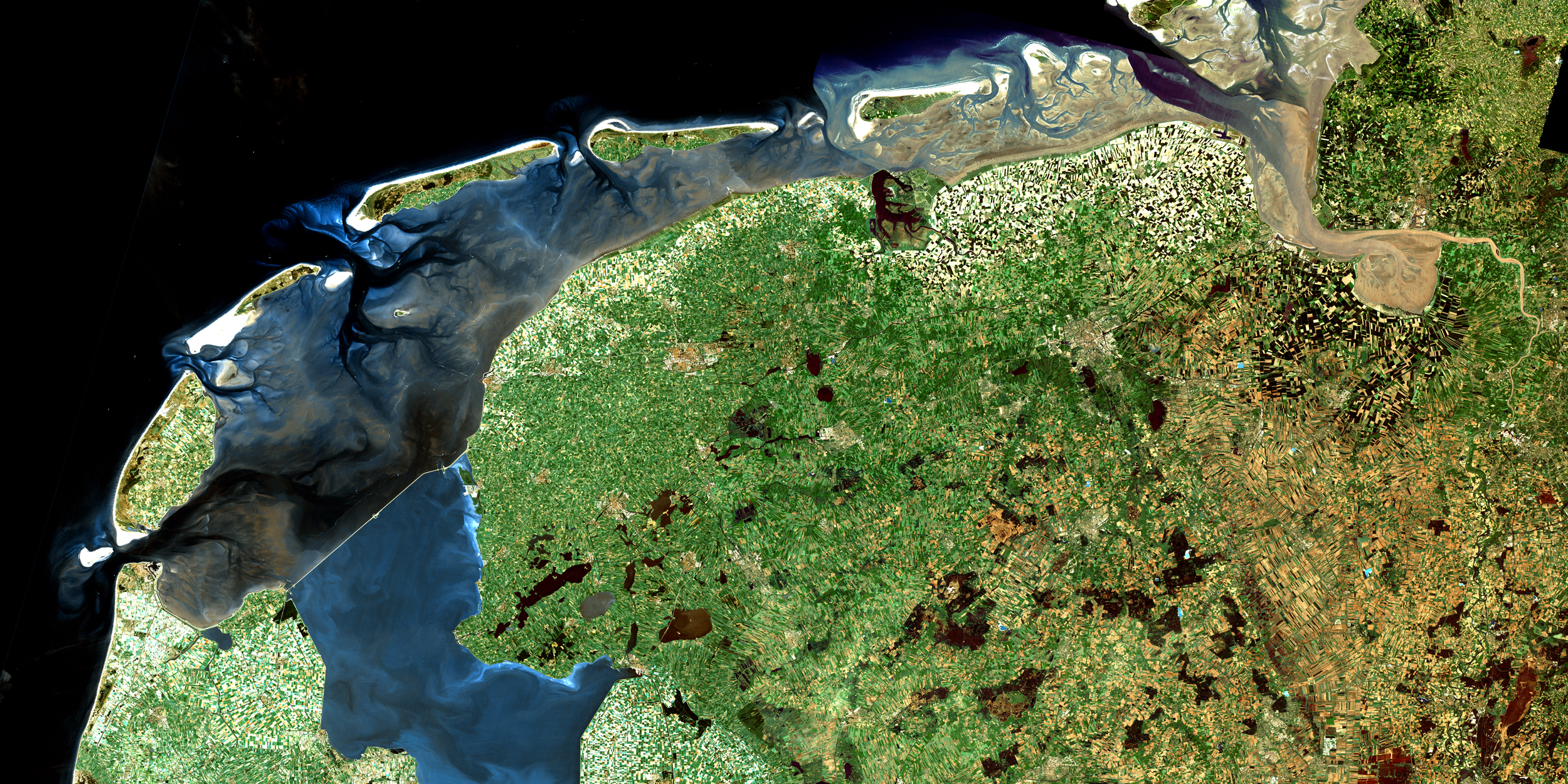
NEO BV
Company
NEO is a Dutch international earth observation service provider, celebrating its 23rd anniversary. NEO concentrates on solving technological and process challenges in monitoring of geo-objects using earth observation tools. We provide services that create valuable services by sensing the dynamics of our habitat. NEO serves over 200 customers in the Netherlands, within the European Union, in Central and Eastern Europe, as well as in Africa, Asia and Latin America. With its 30 Geo- and EO-specialists in 2019 the company is independent from all providers of imagery, software and other organizations. Our information helps our customers to reduce costs, increase safety, and prevent errors, to comply with regulations and to manage our environment better.
Agriculture, Floods, Forests, Land use, Urban Areas, Topography, Farming, Forestry, Oil and Gas, Real-estate management, Retail and Geo-marketing, Utilities (water, electricity, waste)
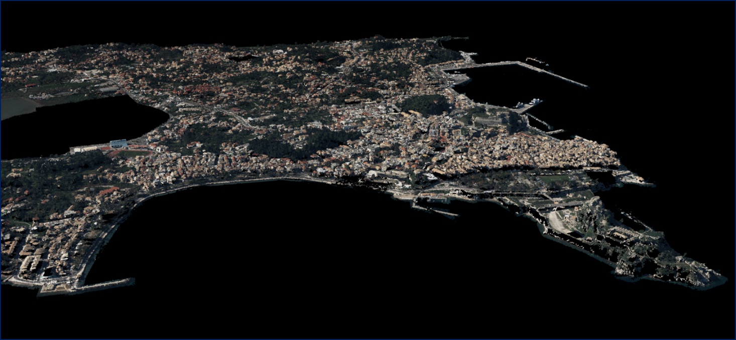
Geosystems Hellas S.A.
Company
The company’s vision is helping organizations harness the information of the changing earth for greater advantage, by creating geospatial business systems that transform our earth’s data into business information
Fires, Coastal, Infrastructure, Land Ecosystems, Land use, Landslides, Forests, Agriculture, Topography, Security, Farming, Forestry, Real-estate management, Retail and Geo-marketing, Humanitarian Operations and Health, Environmental, Pollution & Climate, Transportation
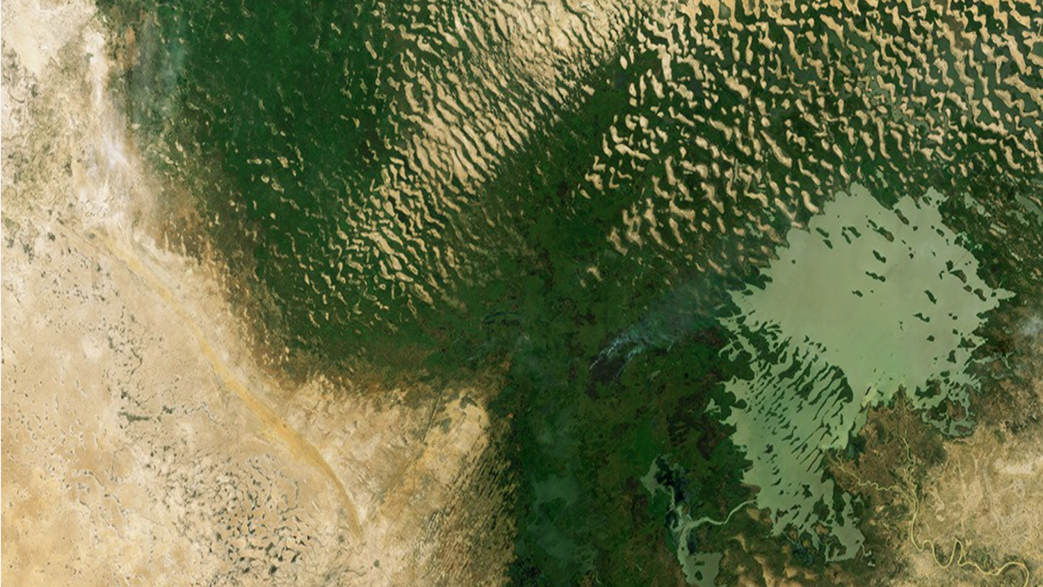
TERRASIGNA
Company
TERRASIGNA. Romanian company having main expertise in processing, analysis and interpretation of optical and radar Earth Observation data, offers innovative solutions for environmental monitoring and risk assessment (flood risk analysis, drought early warning, deforestation evaluation etc.).
Floods, Forests, Marine ecosystem, Metocean, Forestry, Oil and Gas, Local and regional planners
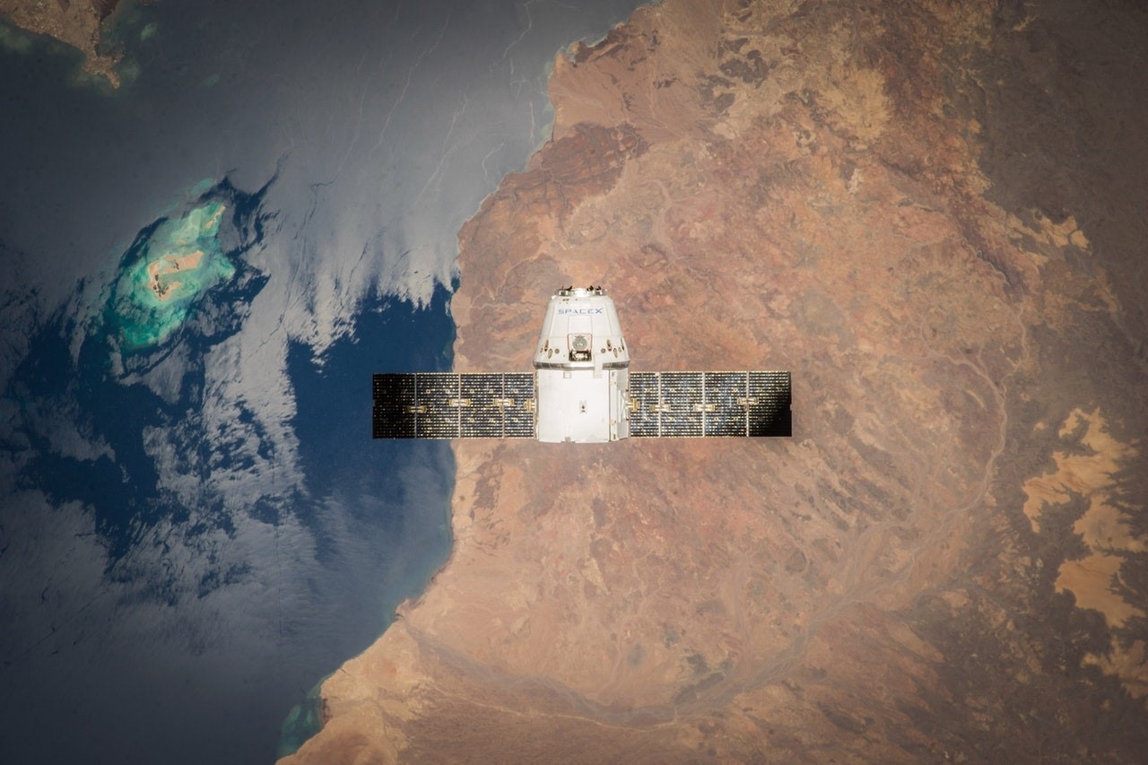
Spottitt Ltd.
Company
Spottitt is an Oxfordshire based start-up, a new breed of geospatial company specialized in the provision of easy, efficient and low cost, self-service satellite analytics for the energy, environment and infrastructure sectors.
Urban Areas, Alternative Energy

Cittamap Bv
Company
Helping organisations transition towards data driven strategy.
Land Ecosystems, Land use, Urban Areas, Infrastructure, Local and regional planners
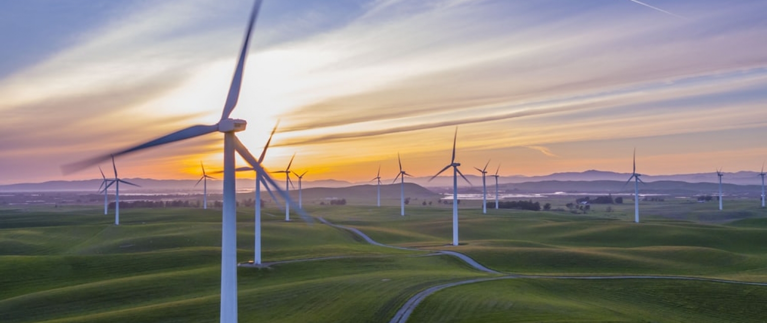
WindSight - First class input data for wind energy models
Success story
WindSight is a suite of novel EO-based products for characterization of the land surface roughness and topography anywhere in the world. Together with state-of-the-art flow modeling tools for wind energy planning and prospecting, WindSight can replace current procedures for land surface characterization, which are based on manual assessment, coarse global data sets, or costly airborne measurement campaigns.
Company: DHI GRAS
Proposal: WindSight is a suite of novel EO-based products for characterization of the land surface roughness and topography anywhere in the world. Together with state-of-the-art flow modeling tools for wind energy planning and prospecting, WindSight can replace current procedures for land surface characterization, which are based on manual assessment, coarse global data sets, or costly airborne measurement campaigns.
Rheticus® AquaculturePlus
Success story
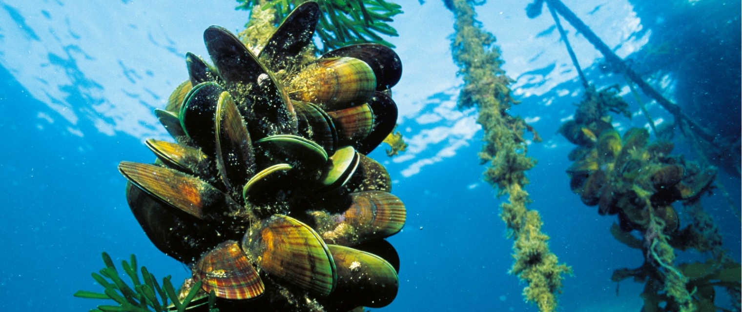
Aquafarmers faces new challenges due to the impact of extreme events mostly related to climate change, leading to changes in the sea temperature and phytoplankton, affecting growth rates and mortality of shellfishes and, therefore, the productivity of farms and the quality of products. As a consequence, aquafarmers can’t rely totally on well-known and established farming practices.
Company: Planetek Italia s.r.l.
Proposal: Using satellite data and derived measurements of water parameters and a model for shellfish growth, Planetek is delivering Rheticus® Aquaculture service, providing information to aquafarmers about mussels’ growth rates, consisting of weekly bulletins with indicators calculated by the algorithms. Within the e-shape project, by organizing pilots in different plants in the Mediterranean Sea with the collaboration of the aquafarmers associations, we intend to scale up the adoption of the Rheticus® Aquaculture service in the Mediterranean and worldwide markets. We will pursue it by codesigning the service with the end-users, and adapting it to the different needs that different areas will require.

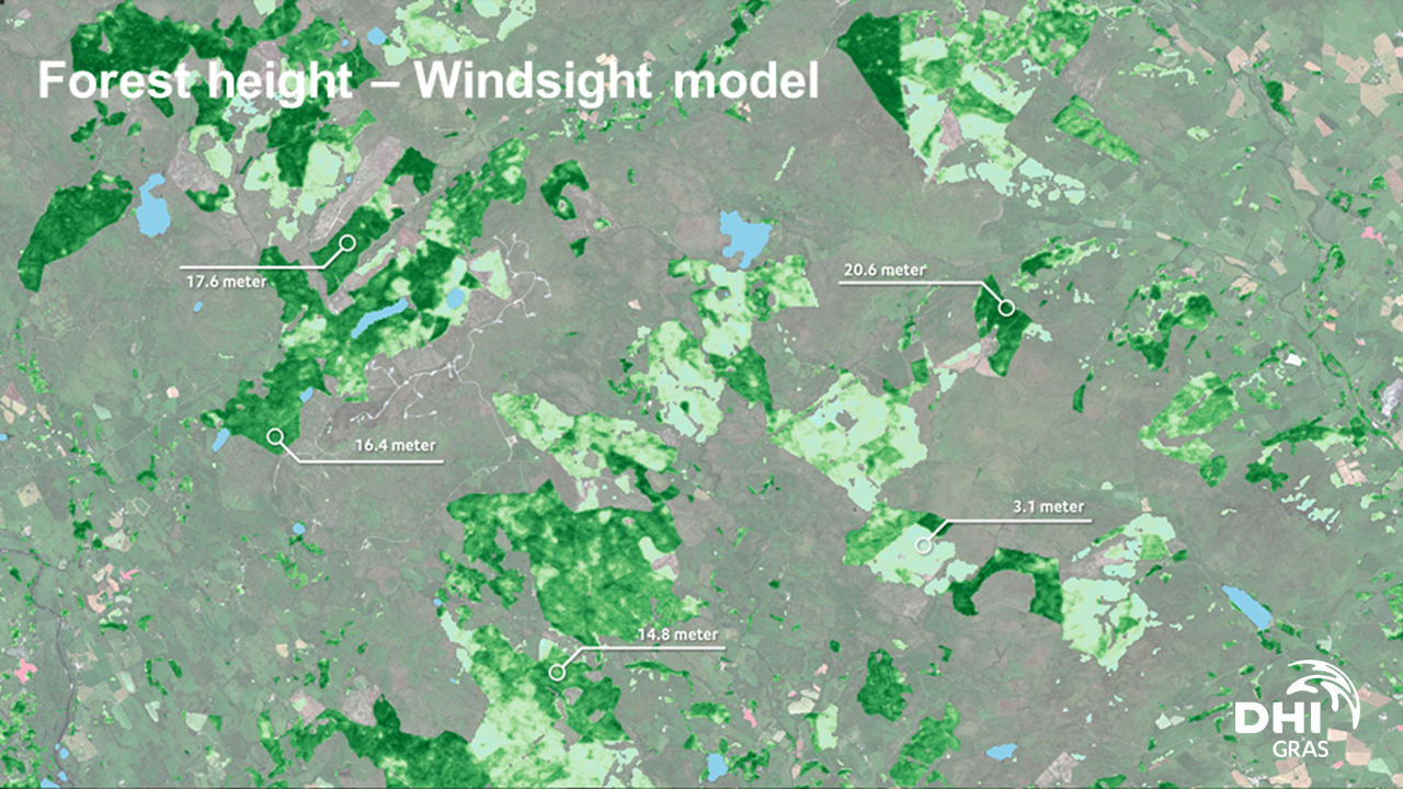
WindSight
Service
WindSight is a suite of novel EO-based products for characterization of the land surface roughness and topography anywhere in the world. Together with state-of-the-art flow modeling tools for wind energy planning and prospecting, WindSight can replace current procedures for land surface characterization, which are based on manual assessment, coarse global data sets, or costly airborne measurement campaigns.

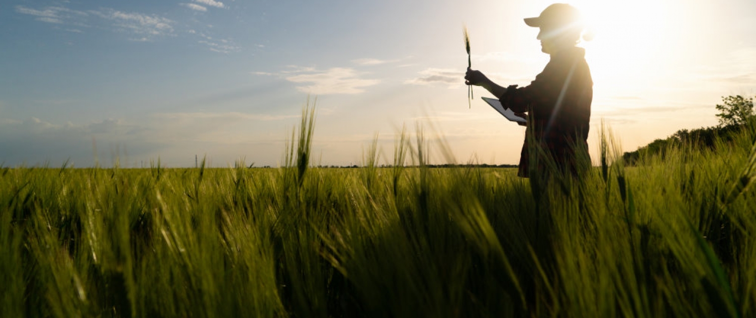
Dynacrop - unlocking EO intelligence across the food value chain
Success story
The food production sector must undergo a major change in order to sustain food production for a growing population and turn sustainable and carbon-neutral at the same time. Earth Observation is bringing tools that support the transition, but their adoption is slow due to the high complexity of the issue. DynaCrop is a white-label ecosystem enabling companies in the food value chain to use advanced information, statistics and intelligence based on Earth Observation. It provides ready-made crop monitoring, field statistics, application maps and soil moisture assessment on a global scale.
Company: World from Space
Proposal: DynaCrop pursues a synergy with companies already established in the food value chain and helps them to integrate EO-based information at scale. In this way, it minimizes resources needed for EO integration (money, time, human resources) and provides users with state-of-the-art service. Information is delivered through the value-added platform (API, white label web application, QGIS plugin) and users are receiving user-centric consulting and R&D cooperation as part of the cooperation.

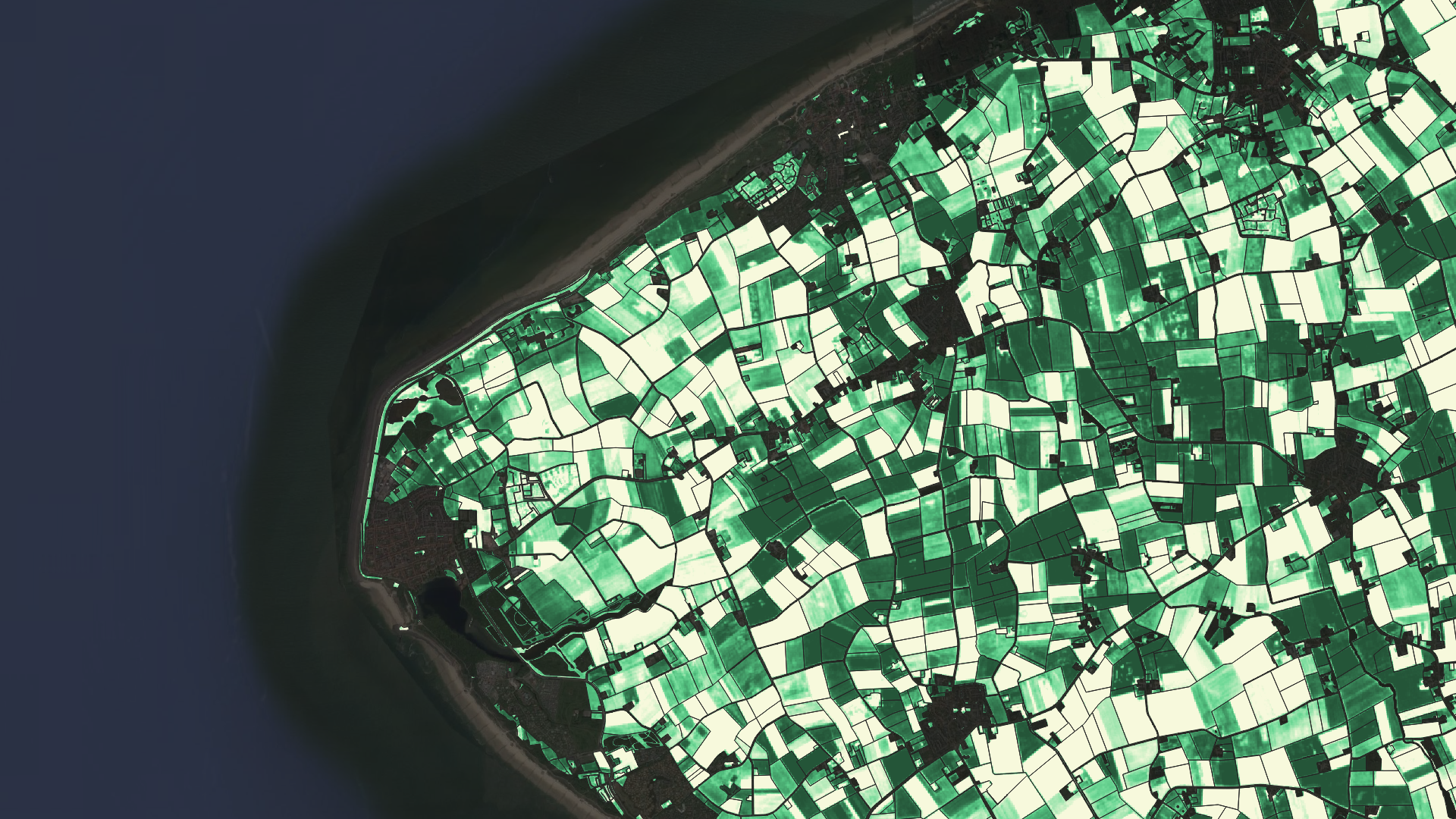
DynaCrop API
Service
Get instant access to agriculture related information for any location in the world. Build your solution to instantly increase the value of your product and to open new revenue streams. Increase the field yields and reduce inputs to safe money of your customers. DynaCrop API provides ready-made agriculture products based on Sentinel 1 a 2 open satellite imagery.

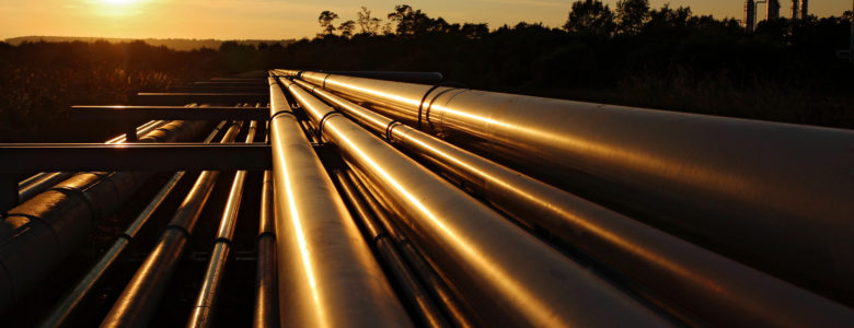
Proactive Pipeline Maintenance With Rheticus® Network Alert
Success story
Like many utility companies that manage water and sewage infrastructure, Hera constantly monitors subtle ground movement on its 3,852 miles of pipeline. Subsidence “doesn’t need to be dramatic to be destructive and costly,” said a Hera spokesperson. “Ground motion of even a few centimeters around buried pipelines can cause leaks in the pipes, and not just water and sewer pipes — gas, electricity, and telecommunications can all be affected. These leaks can then accelerate the erosion around the critical area, damaging service and possibly creating larger problems.”
Company: Planetek Italia s.r.l.
Proposal: Planetek Italia is an Italian company, established in 1994, which employs 50 men and women, passionate and skilled in Geoinformatics, Space solutions, and Earth science. We provide solutions to exploit the value of geospatial data through all phases of data life cycle from acquisition, storage, management up to analysis and sharing. We operate in many application areas ranging from environmental and land monitoring to open-government and smart cities, and including defence and security, as well as Space exploration and satellite missions. The main activity areas are: Satellite, aerial and drone data processing for cartography and geo-information production; Continuous monitoring with satellite data of Earth’s surface, infrastructures, work sites, urban dynamics or marine coastal areas in support of decision-making and operational activities Design and development of Spatial Data Infrastructures (SDI) for geospatial data archive, management and sharing; Design and development of real-time geo-location based solutions, through positioning systems such as GPS/Galileo/GNSS and indoor location systems; Development of software for the satellite on-board data and image processing and for ground segment infrastructures.
Urban Areas, Monitor urban areas, Asset infrastructure monitoring

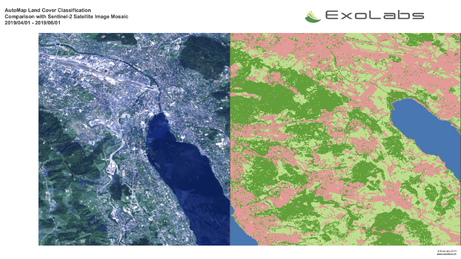
Land and Land Cover Analysis
Service
AutoMap is the easy way to harness the power of satellite images on the cloud.
Agriculture, Infrastructure, Land Ecosystems, Land use, Farming, Insurance & Finance, Local and regional planners

Non-invasive DInSAR monitoring of ground subsidences induced by tunnelling excavation in urban areas
Case study
The application of DInSAR technology in the monitoring of tunneling works in urban environments provides great value both in the early detection of incidents and in the improvement of the management of the work. In this case study, an exhaustive validation of the application of SAR differential interferometry techniques to subway tunneling works was carried out.
Company: Detektia
Solution: An overall RMSE of deformation between 2.6mm and 3.5mm was obtained. The results were validated with more than 1500 field measurements made from leveling reference points and strips. The capabilities of the technique to assess deformations have been proven and, it is important to take into account that the number of controlled buildings when using the PSI technique dramatically increases when compared to the on ground techniques. Differential interferometry is a valuable tool to complement in-situ monitoring techniques in tunneling works.

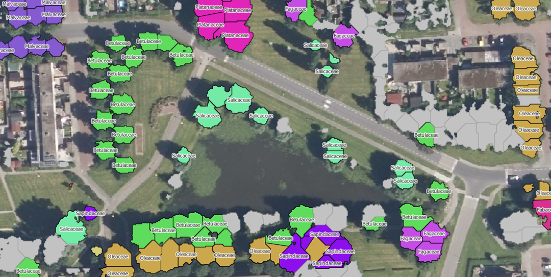
Monitoring trees
Service
NEO is monitoring trees using satellite data and deep learning methodologies. Basic information such as height, diameter and species of trees can be monitored with our service.
Forests, Assess Deforestation / Forest Degradation, Assess forest damage due to storms or insects, Monitor forest resources, Land use, Forestry, Forest policy, Forest policy makers, Logging industry, Wood industry

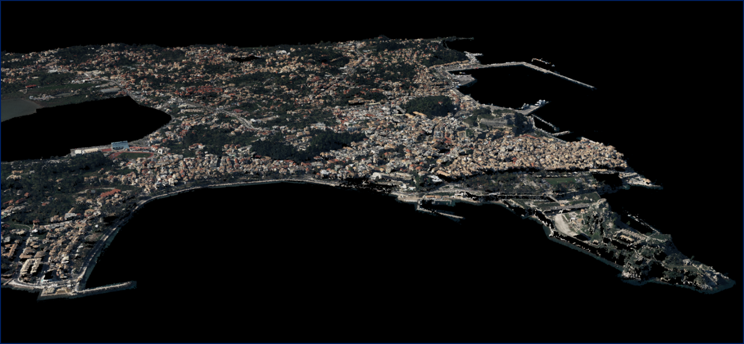
5D Multi-Purpose LIS (Land information System)
Service
The complexity of modern urban environments has led to the introduction of 3D Land Information Systems (LISs), which tend to replace traditional 2D LIS architectures for the purposes of urban planning and regeneration, land administration, real estate management and civil development.
Agriculture, Infrastructure, Coastal, Floods, Forests, Inland Water, Land Ecosystems, Land use, Landslides, Sea-ice and icebergs, Snow & Ice, Topography, Urban Areas, Security, Assess Environmental impact of farming, Monitor crops, Assess Deforestation / Forest Degradation, Assess environmental impact of forestry, Assess and monitor water bodies , Monitor land ecosystems and biodiversity, Monitor land cover and detect change , Baseline mapping , Map line of sight visibility (land surface), Asset infrastructure monitoring, Monitor coastal ecosystem, Monitor the coast line, Map and assess flooding, Detect and monitor wildfires, Forecast and assess landslides, Monitor sensitive risk areas, Forecasting epidemics and diseases, land administration, land use studies, monitoring of settlements, urban atlas, urban development, smart cities, rural areas, building inventory, building footprint, spatial planning, land cover, Solar energy, Construction, Forestry, Real-estate management, Transportation
Data benchmark study for urban flood modelling
Success story
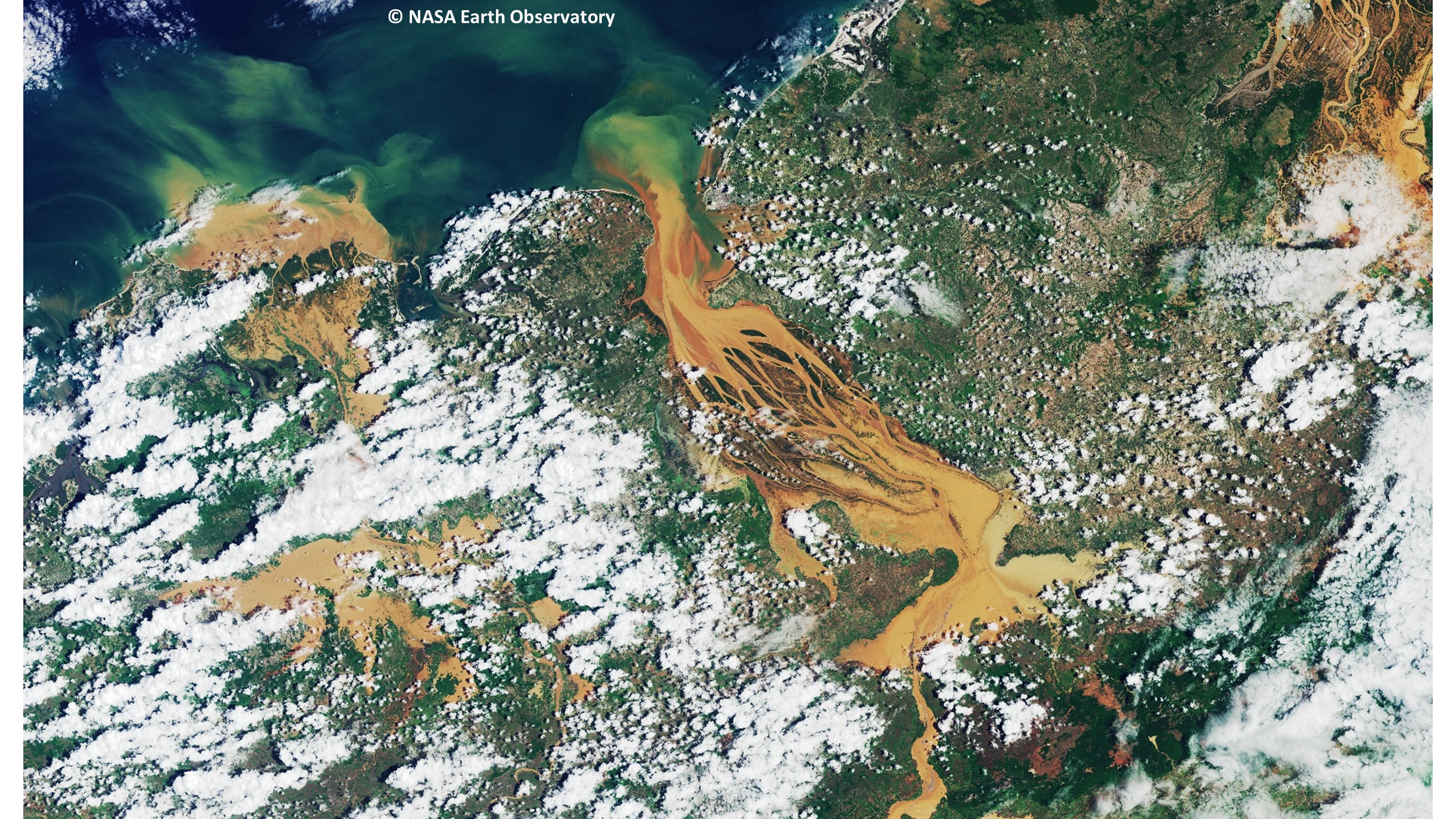
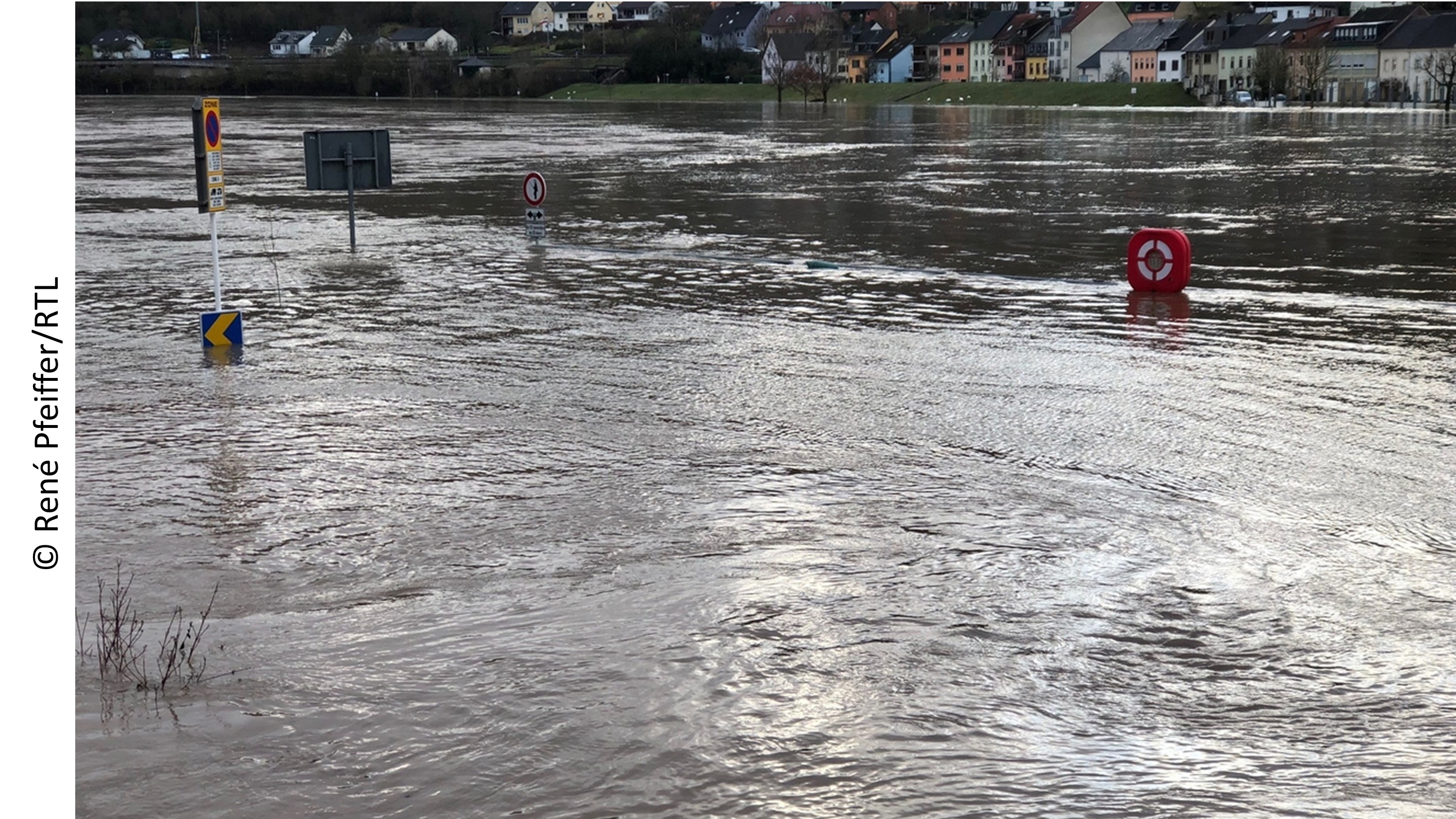
Through a collaboration MoU agreement with the University of Luxembourg (UL), RSS-Hydro is joining forces with the UL Geodesy and Geospatial Engineering research group to develop an open-access scientific benchmark data set that enables scientists and industry to develop and test high-end models for better urban flood predictions.
Date: June 5, 2020
Company: RSS-Hydro
Proposal: There is a shortfall in current remote sensing data provision in relation to the following two challenges that cannot be met with current satellite or airborne imaging survey technologies: (i) Cost-effective capture of fine-scale spatial data describing the current hydrological condition and water resource status of catchments at user-defined time-steps; (ii) Data capture at fine temporal resolution for describing water system dynamics in soil moisture, vegetation, and topography in catchments where there are important downstream effects on water resources (e.g., floods, erosion events or vegetation removal). These challenges apply in particular to small streams and floodplain flow pathways that become hydraulically and geomorphologically very important during flash floods. However, given the small size and stream order of these systems but their high significance nonetheless during rain storms, they require detailed, high-resolution data on topology and geometry, including all built and natural features. We therefore proposed the development of a benchmark data set from a variety of drone-based technologies for high-accuracy mapping of topography and infrastructure in the context of floodplain and drainage geometries. We suggested to do this first in a small agricultural sub-catchment to test data and model capabilities, before establishing benchmarks for data and flood models in a much more complex residential area (depicted in image) that is prone to flash flooding.
Solar panel service
Service
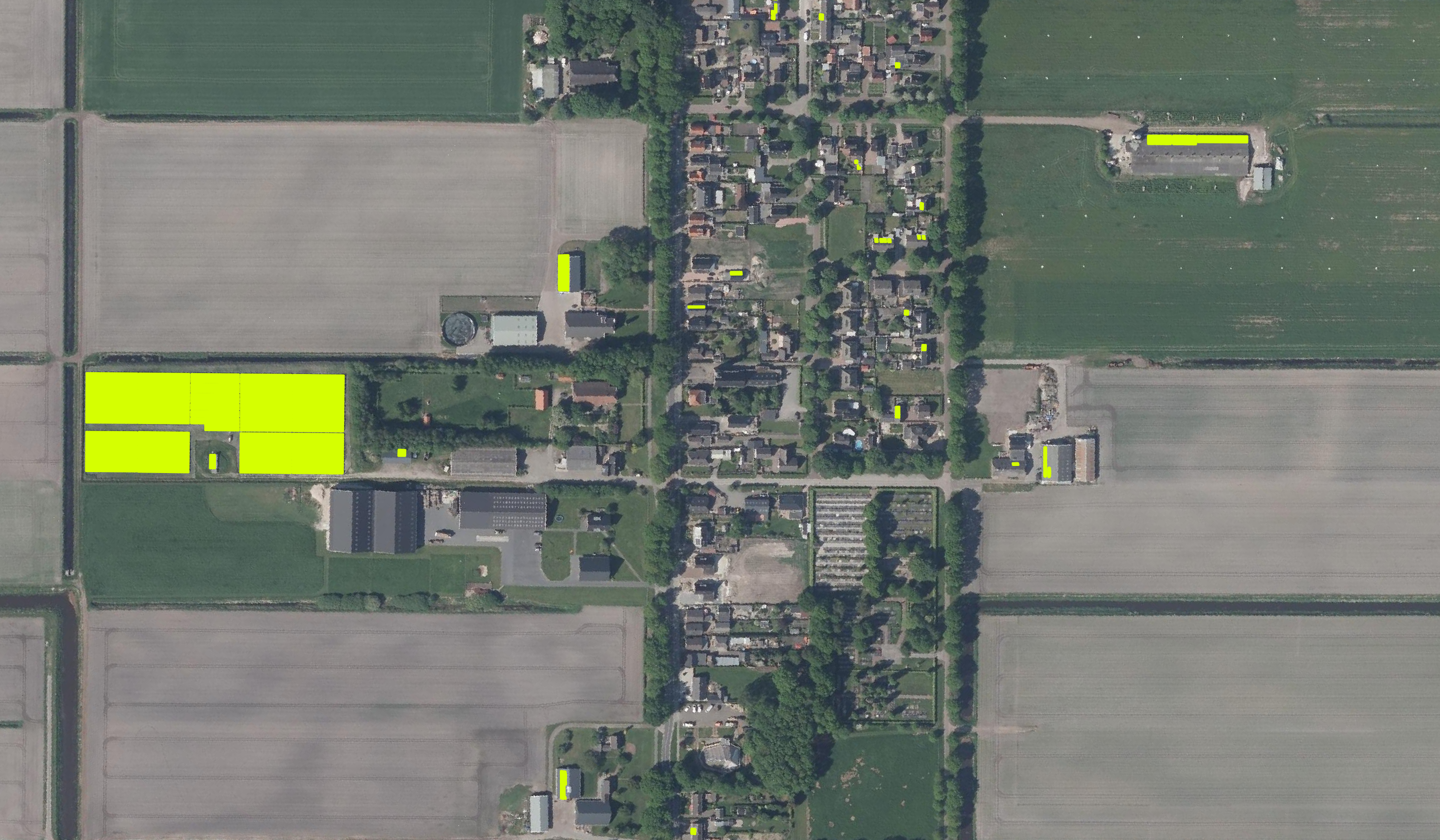
Monitoring the presence of solar panels throughout the Netherlands.
Infrastructure, Map and monitor solar energy (solar farms), solar energy, solar radiation, Monitor urban areas, Urban Areas, urban development, urban settlement, urban atlas, urban areas, smart cities, individual houses inventory, Alternative Energy, Regional planners, Solar energy, Environment, Real-estate management

Monitoring solar panels for government agencies
Success story
Locations of solar panels give governments insight in the energy transition and the set goals per government. Statistics can either be used to track progress or to plan actions to encourage renewable energy usage.
Date: January 17, 2020
Company: NEO
Public Authority, Climate, Urban Areas, Monitor urban areas, urban atlas, urban settlement, smart cities, individual houses inventory, urban areas, urban development, Alternative Energy, Local planners, National policy makers, Regional planners, Solar energy, Environmental, Pollution & Climate, Environment, City authorities, Planners, Regional governments, Town authorities, Local and regional planners, Utilities (water, electricity, waste)

Mutation Signalling on agriculture parcels in the Netherlands
Service
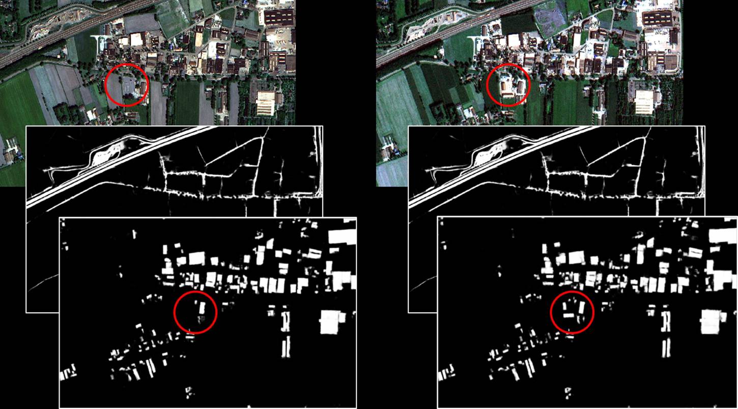
Agriculture parcel boundaries change continuously through time. Monitoring, based on satellite imagery in combination with artificial intelligence, aims to detect changes in the boundaries of the parcels.
Agriculture, crop acreage, Monitor crops, crop types extent, Land use, Assess land value, ownership, type, use, Measure land use statistics, Agricultural commodities, Agriculture and rural development policy, Farming, Real-estate management, Local and regional planners, City authorities, Planners, Regional governments, Town authorities, Agriculture and rural policy makers

Parcel change detection in the Netherlands
Success story
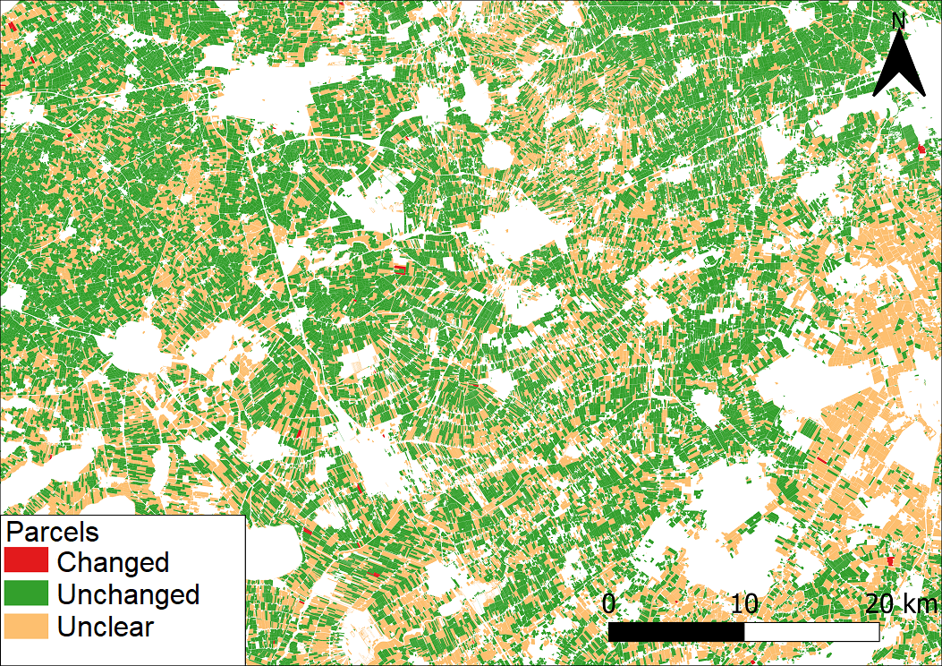
The Dutch paying agency, RVO (Rijksdienst voor Ondernemend Nederland), is required to maintain the registration of agricultural parcels in the LPIS (Land Parcel Information System). The process of keeping the registration up to date with the actual situation in the field is a challenge, as annually 5 to 10% of the parcel geometries change. An automated change signalling service is required to speed up the process of manually checking aerial imagery for changes in geometry of the parcels.
Company: NEO
Proposal: The service automatically checks satellite imagery time series and delivers a classification of parcels in line with the requirements. Additionally a dataset of 2D geometries of suspected changes, including properties of the change signal such as nature of change (e.g. building, water, vegetation) and date of change is delivered to add further efficiency to the process of updating the geometries of the parcels, in order to comply with LPIS requirements.
Public Authority, Agriculture, crop acreage, Monitor crops, Assess land value, ownership, type, use, Land use, cadastral, parcels use, Farming, Agricultural commodities, Agriculture and rural development policy, Agriculture and rural policy makers, Local and regional planners, City authorities, Regional governments, Town authorities, Real-estate management

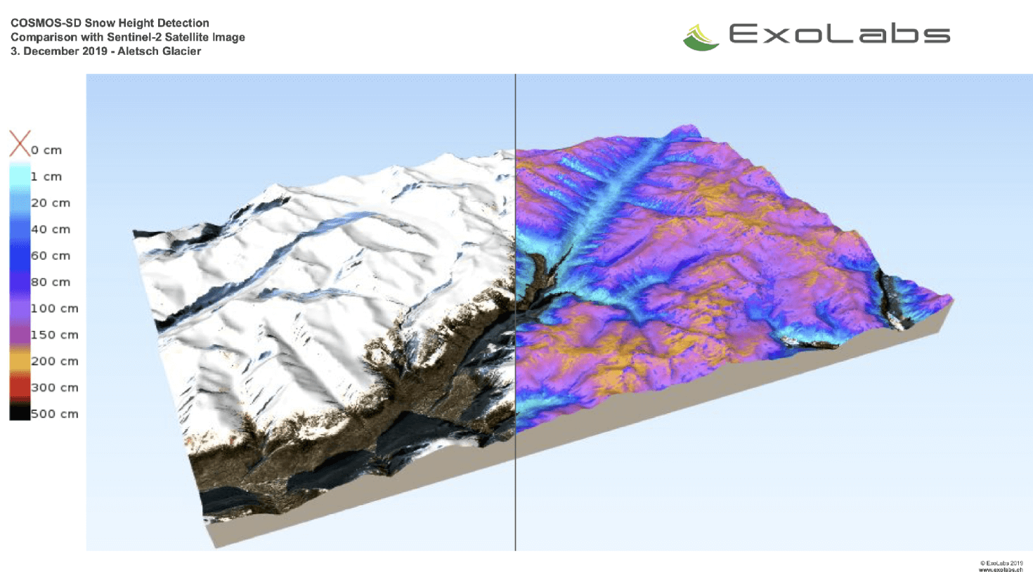
Snow Monitoring
Service
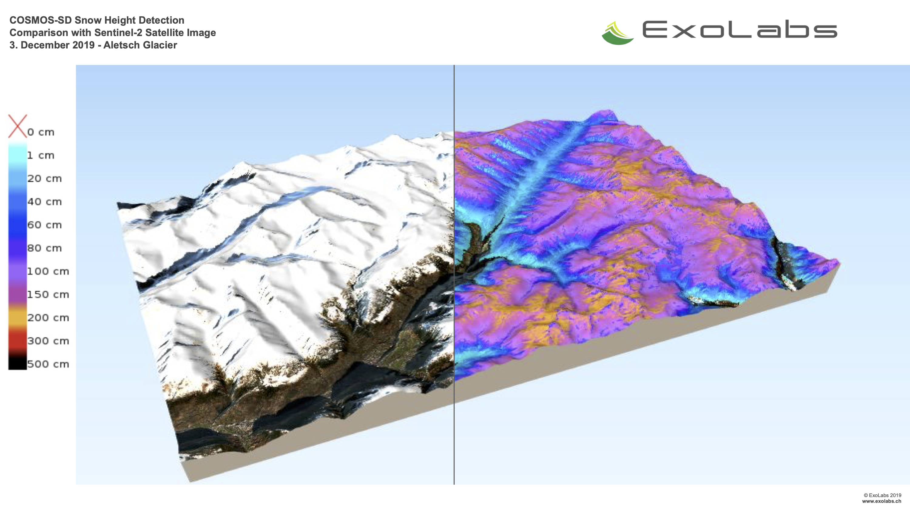
With COSMOS (Continous Snow Monitoring System) we provide near-realtime global snow cover maps in different spatial resolutions.
climate change, Assess ground water and run-off, Monitor snow cover, snow cover, Environment, Hydroelectric, Ski, Tourism


Satellite-derived bathymetry for guiding nautical navigation
Success story
The client is a pilotage company that plans out voyages for vessels to be able to safely navigate in the Polar regions. They are highly dependent on accurate maps to provide the best possible service.
Date: January 1, 2018
Company: DHI GRAS
Proposal: We were commissioned by the client to provide them with accurately mapped coastlines at both low and high tide, as well as identify submerged hazards, such as reefs, rocks and sand banks.
Small to Medium Size Business, shipping and navigation, Detect and monitor ice-risk at sea, ship routing, Sea-ice and icebergs, Ships

Monitoring trees for nature conservation law
Success story
NEO is monitoring whether trees are disappearing in areas that fall under the Nature Conservation Law, using satellite data and deep learning methodologies.
Company: NEO
Proposal: On behalf of several provinces NEO has monitored whether trees disappeared in areas that fall under the nature conservation law. The enforcement of this law is difficult, as areas are enormous and human resources limited. By monitoring the trees in an automated way NEO delivers only the most relevant changes to the client to follow up in the field. The nationwide tree database of the Boomregister that was developed by NEO is used as baseline. Satellite data is used as source for the yearly updates. We use deep learning algorithms to signal where trees have disappeared, and filter them to only keep the most relevant ones.

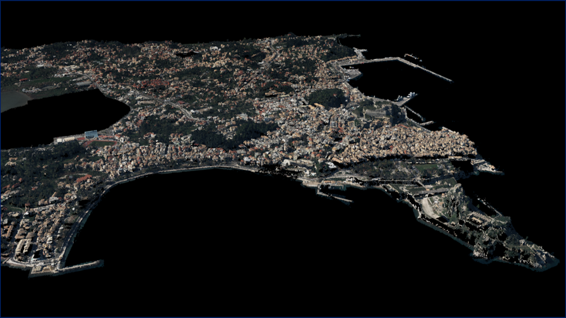
5DMuplis
Success story
Haifa city urban redistrubition of land uses. Connection of the 3D Cadaste Data with urban building blocks renovation, building green areas and wellbeing environment for citizents - "workers" and visitors. Develop a "redistribution of properties" following the green - blue growth for facilitation of young couples vs the banks investment interest and civilians thoughts for better living. Contribute on the urban resilience and follow the Paris Agreement and the UN Agenda for Sustainable Development.
Date: January 1, 2016
Company: Geosystems Hellas S.A.
Proposal: Haifa city. The technical tool is a 3D planning application (facing the time in the past and in the future - 4D) and is made to test the urban planning functionality combined climate change initiative following the Paris Agreement (5D) and affordable housing policies (5D) to achieve the “best use” of urban land following the UN Agenda for Sustainable Development.
Public Authority, Monitor urban areas, Monitor construction and buildings

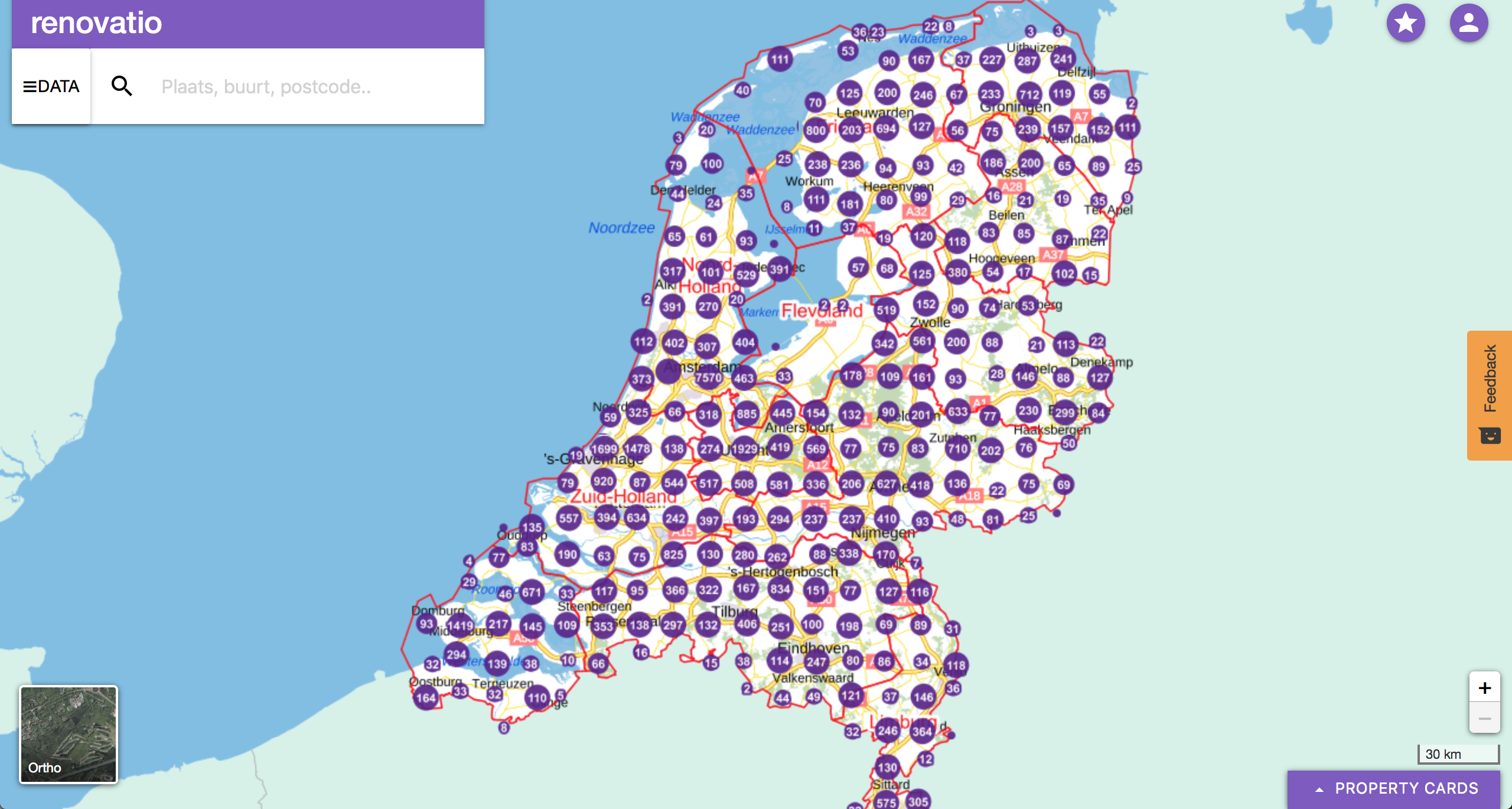
Renovatio shows significance of Cultural Heritage on Property values
Success story
South Holland is a province of the Netherlands situated on the North Sea in the west of the Netherland and covers an area of 3,403 km2.
Date: November 28, 2018
Company: Cittamap Bv
Proposal: The province of Zuid Holland had a challenge with 15% of the monument buildings being empty. This causes reduction in property prices and loss of cultural heritage. The renovation charges exceeded 150million, and a strategy was required to choose the correct sites for redevelopment. The data driven strategy proposed a solution to make life easier for the department culture and heritage to reduce the number of empty monuments.
Public Authority, Urban Areas, Infrastructure

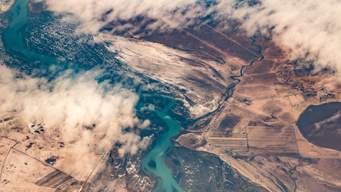
Earth Science Data Access and PrOcessing Service for Black Sea (ESPOSS)
Service
EPSOSS takes advantage of the high investments made by the European countries and their international partners in ES data collection and dissemination systems (e.g. satellites, in-situ networks, ICT frameworks) and builds on top of those systems an added value application (geoportal) for the scientific community and the Black Sea relevant decision makers on environmental issues.
Coastal, Marine ecosystem, algal bloom, ocean colour compositte, sea surface temperature, turbidity, chlorophyll-a concentration, Maritime, Local and regional planners

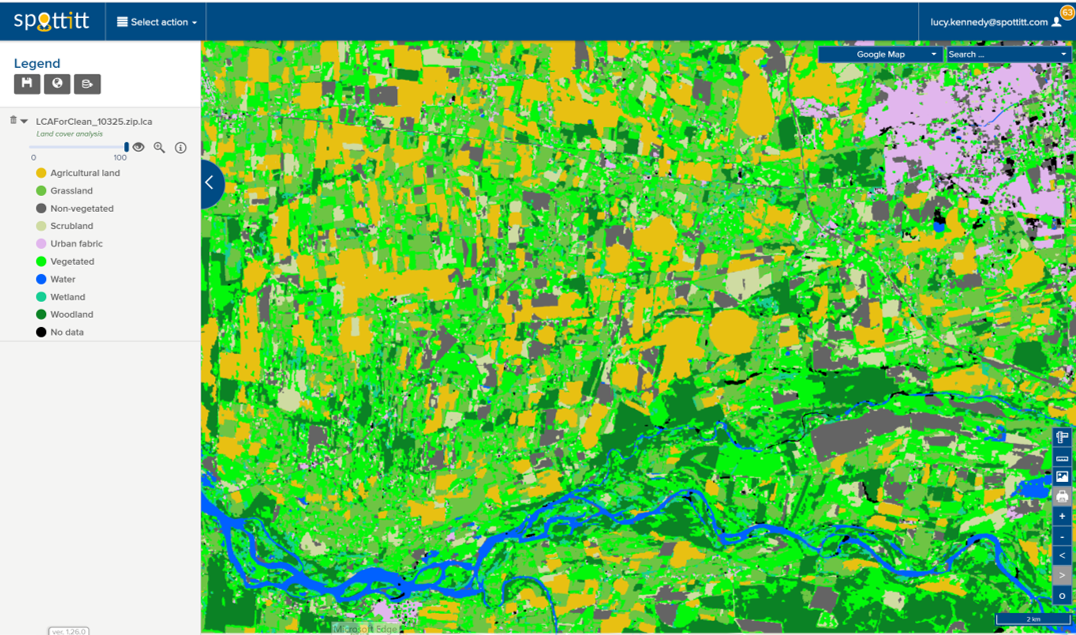
Land Cover Analysis
Service
10m resolution digital land cover anlaysis with 13 different land cover classes. Derived automatically from free Sentinel 2 imagery which provides global coverage and a 5 day refresh cycle.
Floods, Inland Water, Land Ecosystems, Geology, Forests, Infrastructure, Land use, Urban Areas, Fires, Earthquakes, Construction, Emergency Services, Environmental, Pollution & Climate, Farming, Utilities (water, electricity, waste) , Oil and Gas, Minerals and Mining

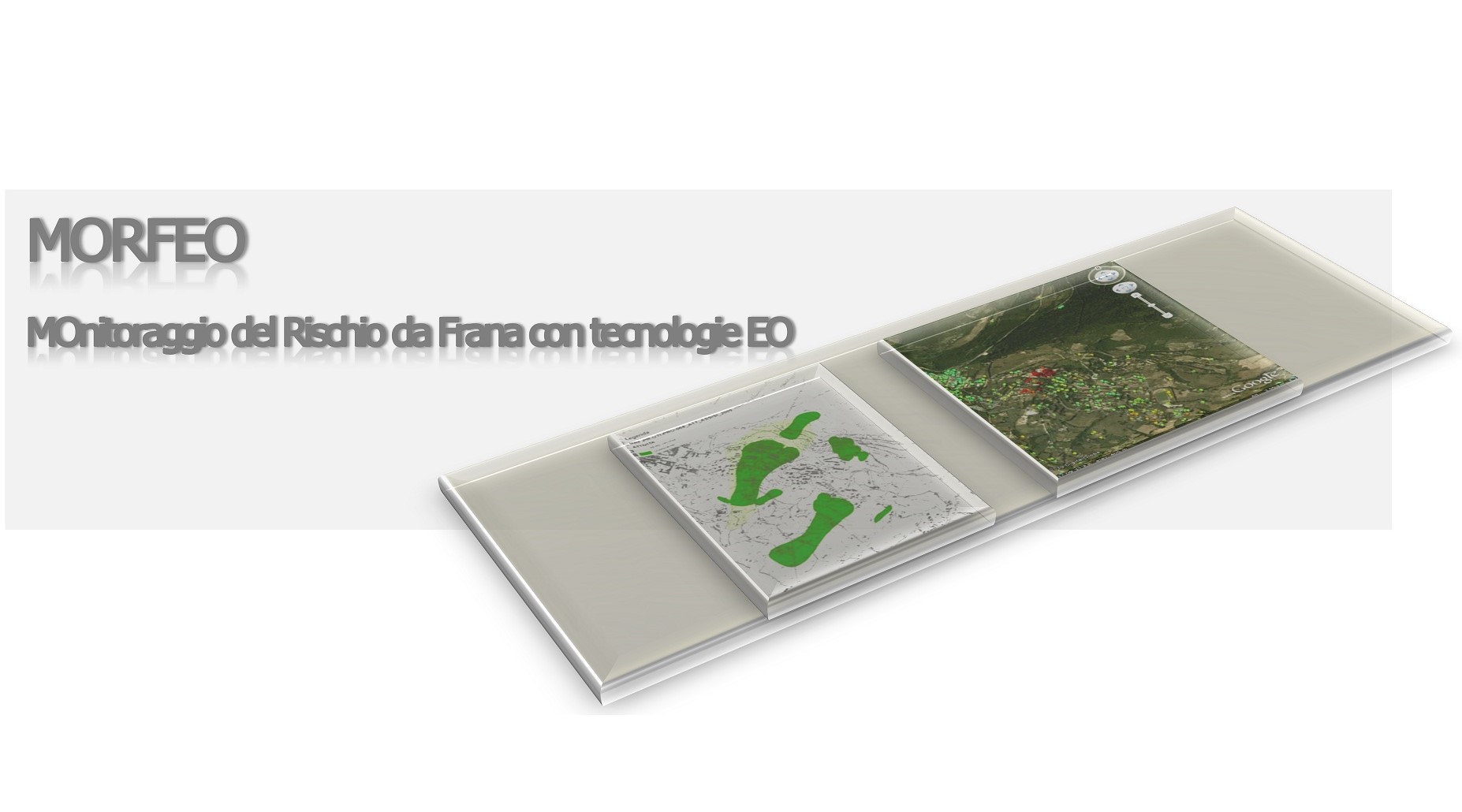
MORFEO
Success story
Detect and monitor landslides and instability risks over urban areas, large infrastructures and the territory around it, in order to prevent disasters
Date: June 25, 2015
Company: Planetek Italia s.r.l.
Public Authority, Landslides, subsidence detection

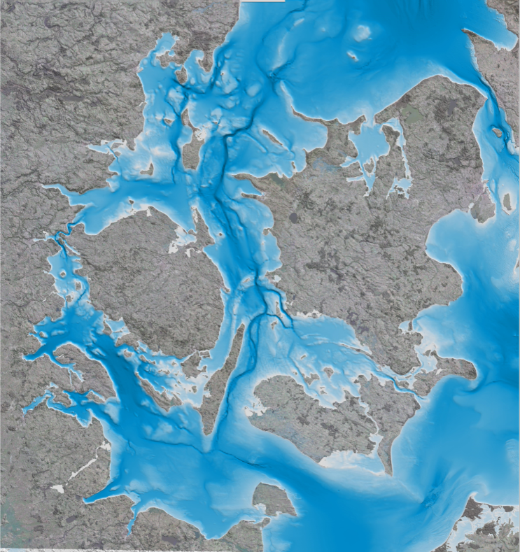
Satellite-derived Bathymetry
Service
Satellite-derived bathymetry is a state-of-the-art method for detailed mapping of shallow coastal areas, where unlike field-based surveys this solution has a quick turnaround, no health and safety issues and requires no permits. Since it is based on satellite information it is also ideal for remote areas and harsh environments. The method is able to map water depth down to 8 m at high and low tide in 2m, 10m and 90m resolution, depending on your project requirements.
Coastal, Fisheries, Map water depth or charting, Oil and Gas, Maritime

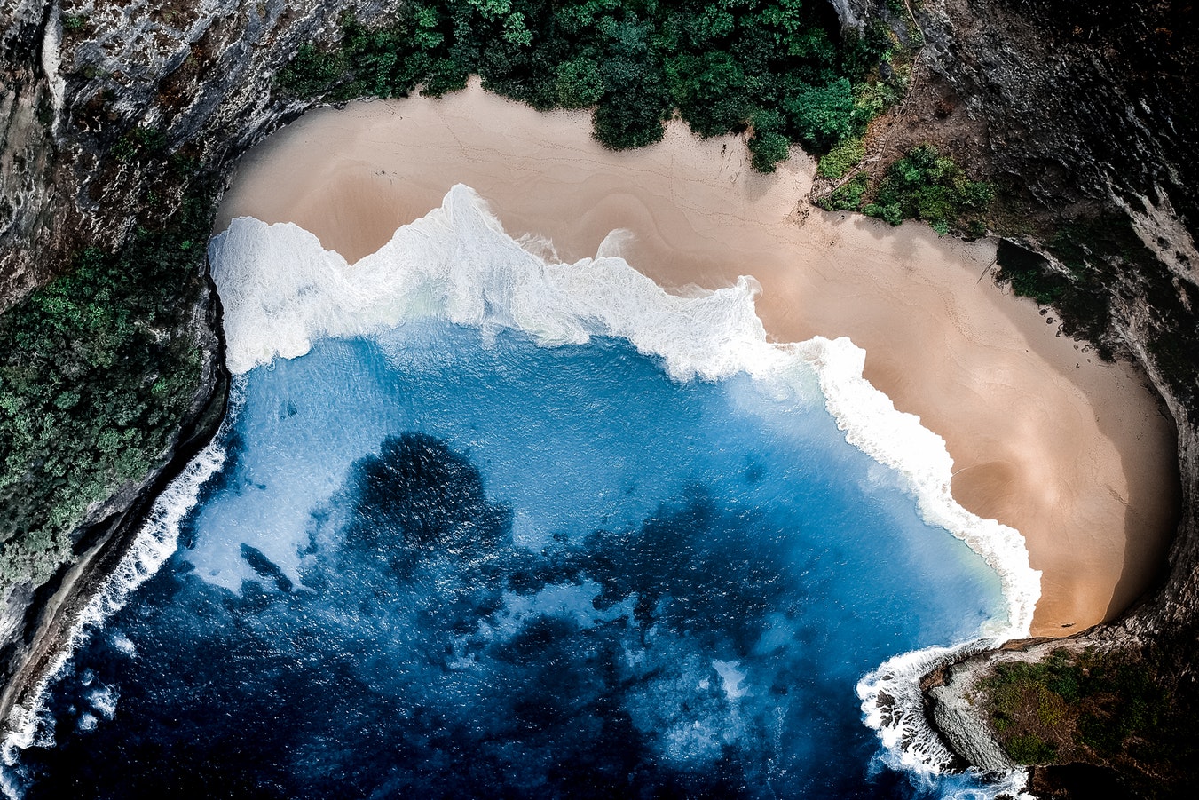
Renovatio
Service
A data driven decision support system for real estate.
Land use, Topography, Urban Areas, Land Ecosystems, Environmental, Pollution & Climate, Local and regional planners

