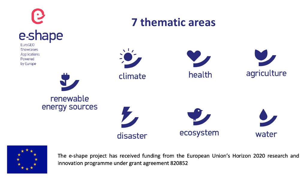
Pioneering H2020 project e-shape, strengthens the benefits for Europe of GEO - establishing ‘EuroGEO’
EuroGEO, as Europe’s contribution to the Global Earth Observation System of Systems, aims at bringing together Earth Observation resources in Europe. It allows Europe to position itself as global force in Earth observation through leveraging Copernicus, making use of existing European capacities and improving user uptake of the data from GEO assets.
Explore e-shape success stories
EO-based pollution-health risks profiling in the urban environment
Success story
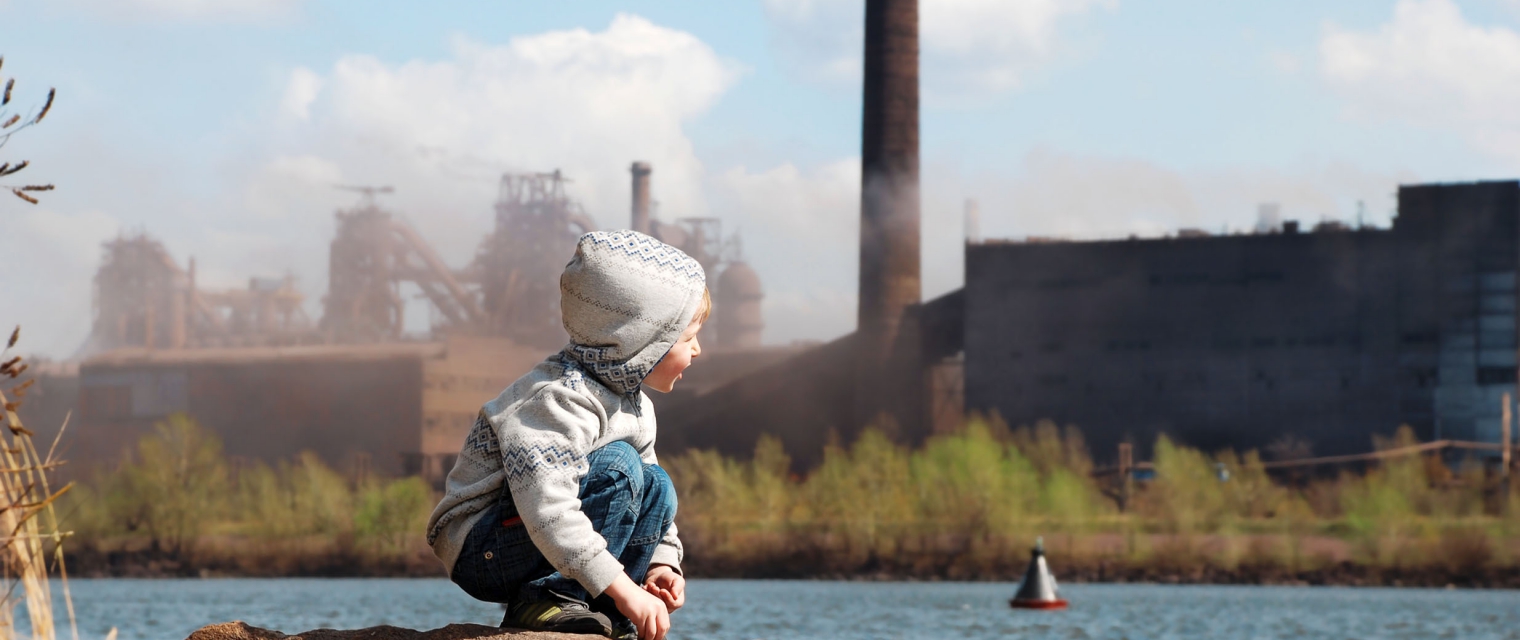
According to UN's “World Urbanization Prospects: 2014 Revision” the continuing urbanization is projected to add 2.5 billion of urban population by 2050, and the world population living in cities to increase to 66%. Moreover, according to the latest World Health Organization (WHO, 2016) Ambient Air Pollution Global Assessment, only one person in ten lives in a city that complies with the WHO Air Quality (AQ) guidelines. Thus, open access of high quality AQ information to stakeholders in a timely and comprehensible manner to foster informed decision making is imperative.
Company: National Observatory of Athens (NOA)
Proposal: The pilot follows the GEOSS Data Sharing and Management Principles and their inputs rely on: Copernicus free and open data policy, the data policies of the World Data Center for Remote Sensing of the Atmosphere (ICSU), ESA and EUMETSAT, EU/national projects compliant to open EO data policies. Through the exploitation and inter-comparison of EO platforms for AQ monitoring, AQ information will be integrated into the proposed solution, providing citizens and urban communities with exhaustive information.

EO-based surveillance of POPs pollution
Success story
The Global Monitoring Plan (GMP) of the Stockholm Convention (SC) was established as an effective and sustainable global system to collect comparable, harmonized and reliable information on POP levels in core media (air, human tissues (breast milk/blood), and water) supporting the effectiveness evaluation of the Stockholm Convention. The mandate for the effectiveness evaluation is Article 16 of the Stockholm Convention and decisions SC-5/18 and SC-7/25.
Company: Masaryk University
Proposal: The EO-based tool increases the availability and quality of information needed to tracks POPs and anticipate changes in the global environment through harmonizing metadata production, archiving, and sharing. The developed advanced web services might be used to support the effectiveness evaluation policy mandate of the Stockholm Convention on Persistent Organic Pollutants and LRTAP Convention.

Service for SDG 2.4.1 and 15.3.1 indicators assessment
Success story
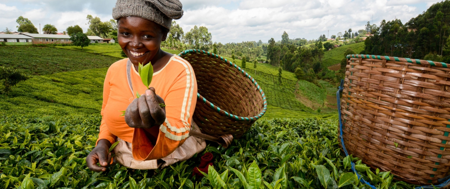
The project provides informational service on the SDG indicators 2.4.1 “Proportion of agricultural area under productive and sustainable agriculture” and 15.3.1 “Proportion of land that is degraded over total land area” based on the 10 m. agricultural land productivity and crop type mapping on Sentinel-2 data as well as Sen-4-CAP. This project created by Space Research Institute NASU-SSAU – the main scientific research organization on the remote sensing field in Ukraine, ERA-Planet programme member and Copernicus Academy member. The methodology for this pilot was developed within the ERA-Planet programme GEOEssential project. The workflows for data processing, crop type mapping and SDGs indicators assessment was developed and tested within Amazon GEO-Grant using Amazon computational resources. The project is compliant with European initiatives on the SDGs and Sendai Framework and the unique feature of the project is usage of moderate resolution Sentinel-1,2 and Landsat-8 mission images for land degradation assessment on the country and field levels. In addition, the project aims on the extent of the European technologies such as SEN-4-Cap, CREODIAS, GEOEsential workflows for territory of Ukraine and neighboring countries.
Company: Space Research Institute NASU-SSAU
Proposal: The main functions of the service is the assessment of the SDG indicators on the country level, regional land productivity assessment, crop maps analysis, agriculture statistics delivery, national SDG report preparation and field level land productivity calculation. The results of the project will valuable for scientific and private-business organizations as well as for academicals sector. The tool will allow to assess the land degradation and SDG indicators.

Linking EO and Farm IoT for Automated Decision Support
Success story
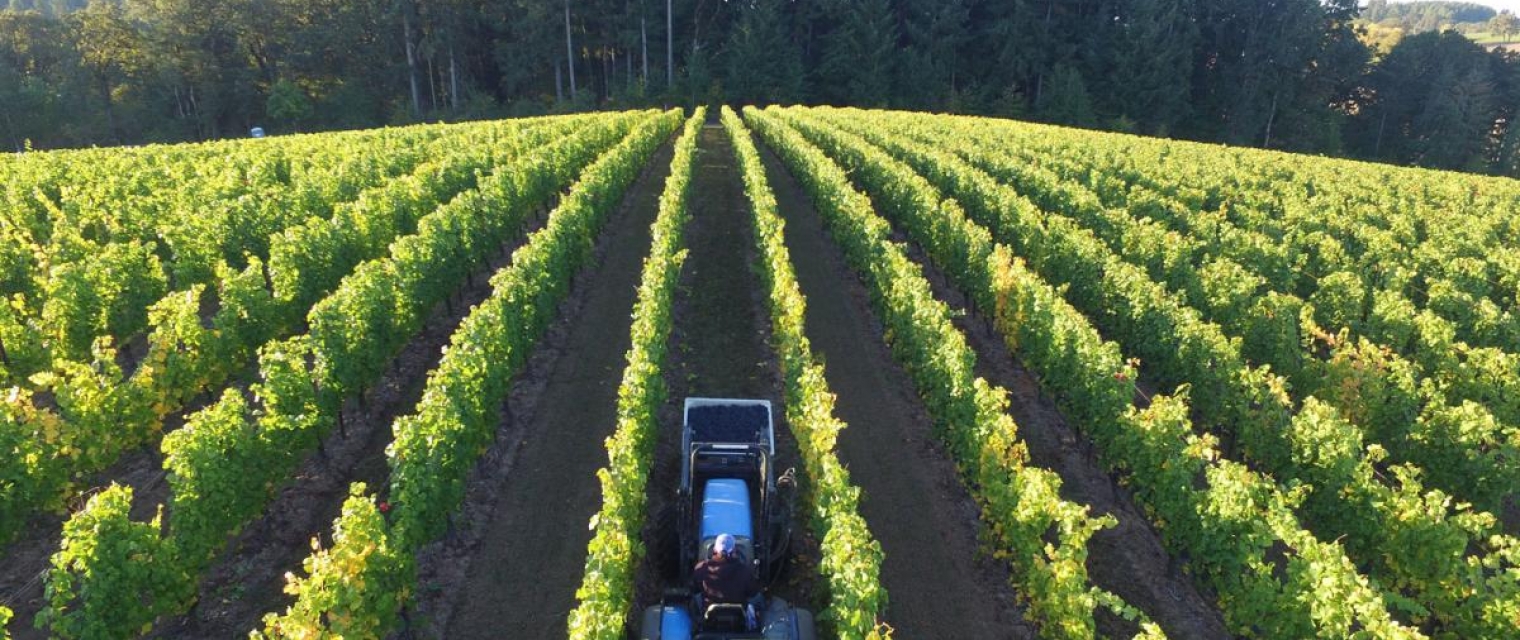
Integrating free and open data, especially the Earth observing Copernicus Sentinels, into the decision support system (DSS) of growers around the world to improve daily decision making is vital to improving and sustaining vineyards and orchards as well as other fruit production. Depending on the regional climatology, different water regimes and plant specific information is needed to adequately support daily operations and the dense temporal Sentinel-1 and Sentinel-2 image coverage can significantly improve information access and content.
Company: Riscognition
Proposal: Climate change is affecting local production of agricultural commodities. Fruits, including grapes produced in vineyards and other fruits that are grown in orchards can be significantly affected by a number of climatic and environmental changes which reduces productivity and potentially affects the entire harvest. By linking EO data with ground measurements from Internet of Things (IoT) devices providing in-situ field measures, automated farm management systems can provide farmers and growers with actionable and timely information to improve their productivity and farming solution sustainability.


Mountainow - success story
Success story
Climate change is changing mountains - creating new needs for safety and adaptation. Timely geo-localized information about mountain hazards is still hard to get. Most of the time, people go to the mountains missing critical information. Public/Private actors make decisions missing critical data – impacting thousands of lives and costing the outdoor/tourism/insurance industry millions.
Company: One Earth sàrl - MountaiNow
Proposal: MountaiNow is an interactive live-map of mountain hazards for Europe and the world. Highly innovative is the combination of real-time crowdsourcing, space/satellite insight (Copernicus Sentinel data), Big Data analytics, and guided navigation – offering a new/unique set of actionable information. One key feature of MountaiNow is to allow for the easy capture and real-time sharing of critical hazard observations such as rock-falls, landslides, snow/ice avalanches, glacial lakes, and high river-discharge. Observations of hazard precursor signs such as glacier melt or fractured snow-pack are also included. The year-round service is already fully operational - available in four languages (English, French, German, Italian) and live as mobile app (android, iOS) and web-app


Dive - Diver Information on Visibility in Europe
Success story
SCUBA Diving is a popular sports activity as well as a crucial commercial service for many coastal economic areas. There are approximately 3.2 million active divers in Europe, based on data provided by Recreational Scuba Training Council (RSTC). Visibility in the water is a safety factor in both recreational and commercial diving as well as a large factor in the enjoyment of recreational diving. Visibility can be affected by many factors or variables which can be measured from space. To enable the use of earth observation data in these user focused downstream services we will create a location based middleware web service that provides near real time (NRT) visibility information for a specific location based on EO data. The solution provides gives score for specific dive locations.
Company: Plymouth Marine Laboratory (PML)
Proposal: To enable the use of earth observation data in these user focused downstream services we will create a location based middleware web service that provides near real time (NRT) visibility information for a specific location based on EO data. The solution provides gives score for specific dive locations.

Meet the entities involved in e-shape
