DIVE service

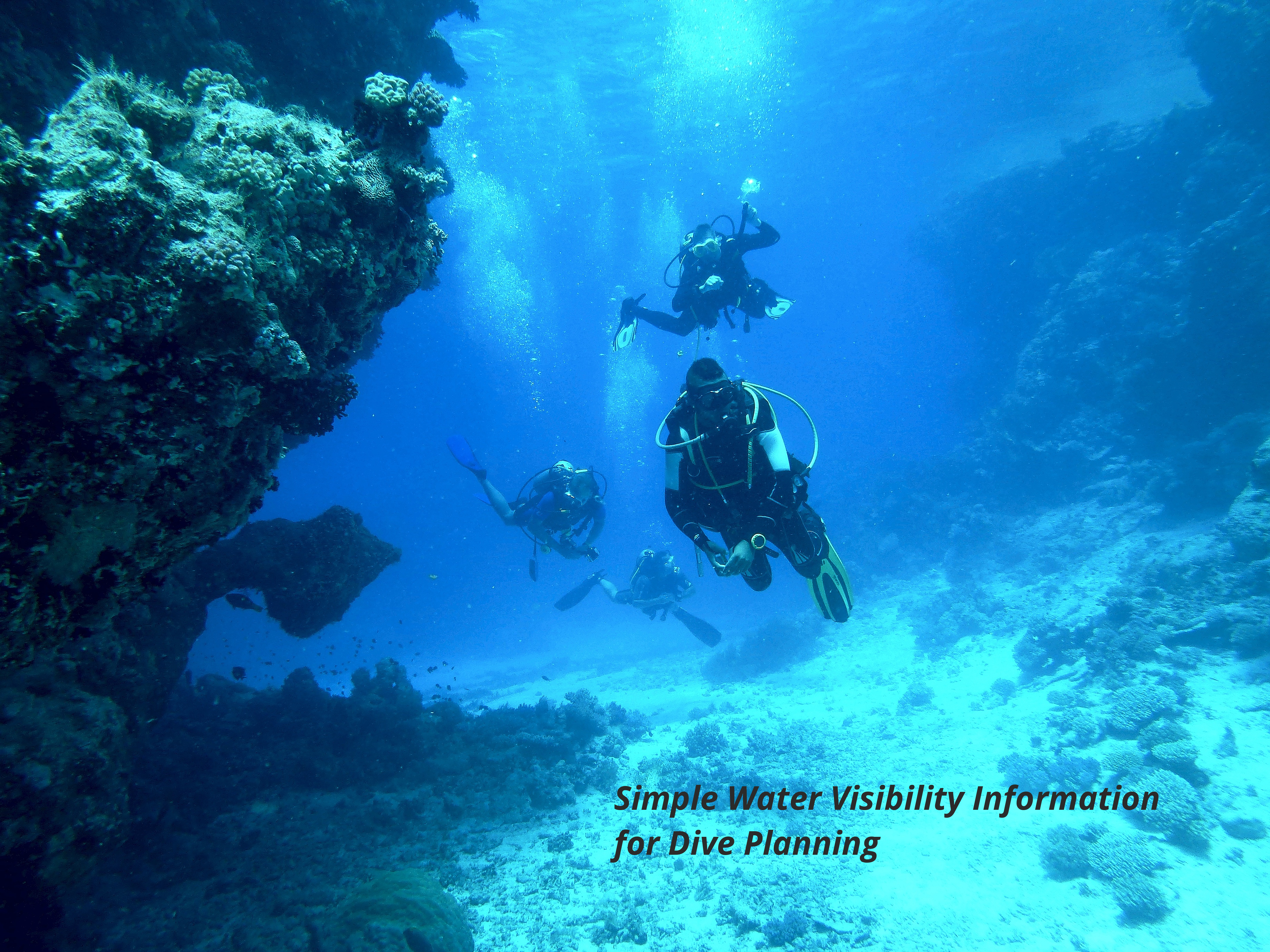
Visibility in the water is a safety factor in both recreational and commercial diving as well as a large factor in the enjoyment of recreational diving. Visibility can be affected by many factors or variables which can be measured from space. To enable the use of earth observation data in these user focused downstream services we will create a location based middleware web service that provides near real time (NRT) visibility information for a specific location based on EO data.
Descripción del producto

Visibility in the water is a safety factor in both recreational and commercial diving as well as a large factor in the enjoyment of recreational diving. Visibility can be affected by many factors or variables which can be measured from space. To enable the use of earth observation data in these user focused downstream services we will create a location based middleware web service that provides near real time (NRT) visibility information for a specific location based on EO data.

Idioma de servicio
Lenguaje de metadatos
Acuerdo de nivel de servicio
Términos y condiciones
Licencia
Modo de entrega
Nivel comercial
Commercial
Estado del ciclo de vida del servicio
Escala
Localizador de servicios
Fecha de publicación
22 ago 2022

Beneficios

Benefits description

  • Access to diving locations via searchable lists
  • Interactive map for browsing diving site locations
  • Easy to read visibility score system to estimate conditions for diving sites
Modelo de pago
Precio a partir de

Especificación técnica

Resolución espacial entregable
Precisión de entrega vertical
Precisión de entrega horizontal.
Capas raster entregables
Capas vectoriales entregables
Precisión de entrega
Los formatos
Modelo de datos de entrega
Datos de entrega
Traductor de datos
Fecha de inicio de adquisición
Fecha de finalización de la adquisición
Estado

Lugar de servicio

Service place description

52.242197250000004,21.072935868069305

Comparar productos

0 productos añadidos

Comparar

Comparación de servicios

servicios

contenido relacionado

Farmstar
Agriculture
Discover Farmstar's holistic precision agriculture solutions, seamlessly integrating satellite imagery, advanced sensors, and data analytics. Our products not only optimize crop management but also prioritize carbon-conscious farming. From monitoring carbon sequestration in soils to recommending eco-friendly practices, Farmstar leads the way in sustainable agriculture, helping more than 13 000 farmers yearly to cultivate responsibly and efficiently.
Adicional
Adicional
Starling
Forests
Explore Starling's satellite monitoring system, a cutting-edge solution in partnership with Earthworm Foundation. This collaboration enhances our ability to track and address deforestation in real-time, providing actionable insights to governments, organizations, and businesses. Starling, empowers you to actively contribute to forest preservation and sustainable land management.
Adicional
Adicional