Gallery
Gallery
Success story
Data benchmark study for urban flood modelling
Profile
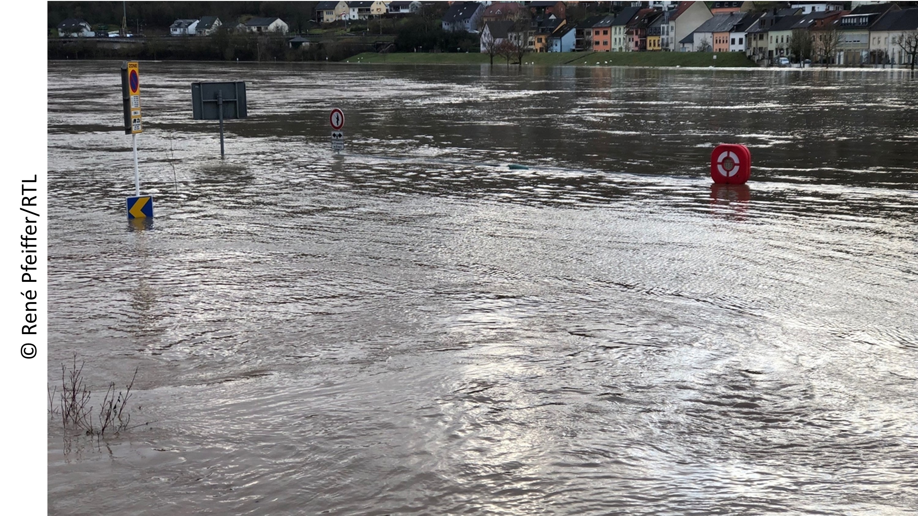
In an attempt to deliver flood model boundary condition data that would allow more accurate engineering flood studies to be undertaken, RSS-Hydro and the Geodesy and Geospatial Engineering research group at the University of Luxembourg (UL) are setting new accuracy standards in flood model data for urban areas using a variety of high-end drone sensors. The delivered data sets would be in the centimeter spatial resolution and millimeter precision, allowing the team to benchmark state-of-the-art models and to define user requirements.
Proposal
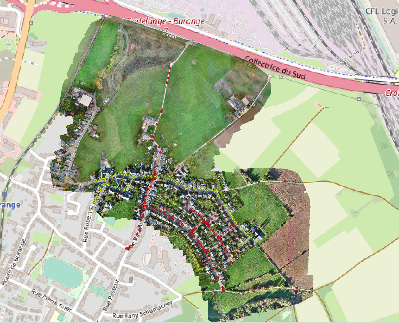
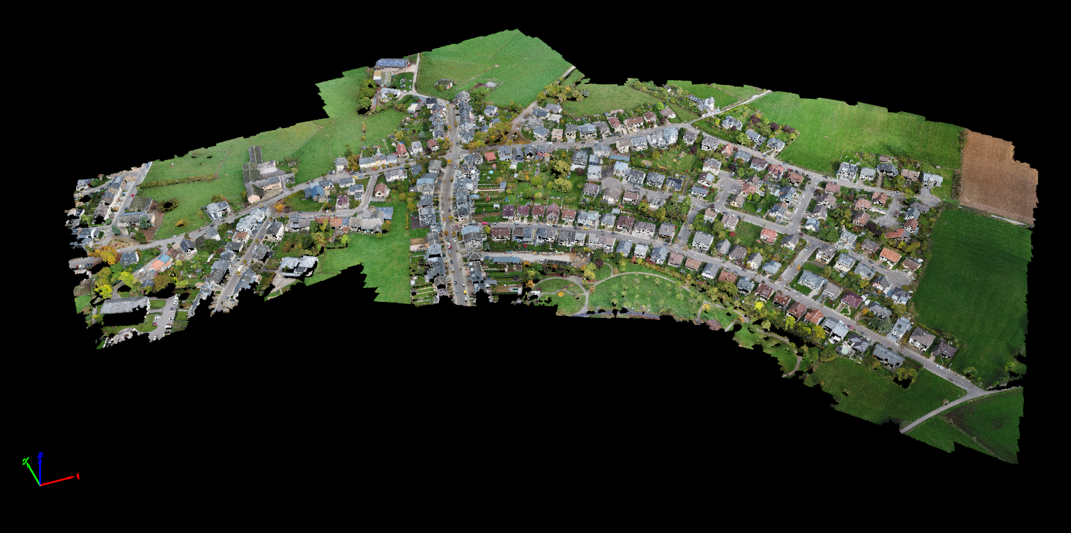
There is a shortfall in current remote sensing data provision in relation to the following two challenges that cannot be met with current satellite or airborne imaging survey technologies: (i) Cost-effective capture of fine-scale spatial data describing the current hydrological condition and water resource status of catchments at user-defined time-steps; (ii) Data capture at fine temporal resolution for describing water system dynamics in soil moisture, vegetation, and topography in catchments where there are important downstream effects on water resources (e.g., floods, erosion events or vegetation removal). These challenges apply in particular to small streams and floodplain flow pathways that become hydraulically and geomorphologically very important during flash floods. However, given the small size and stream order of these systems but their high significance nonetheless during rain storms, they require detailed, high-resolution data on topology and geometry, including all built and natural features. We therefore proposed the development of a benchmark data set from a variety of drone-based technologies for high-accuracy mapping of topography and infrastructure in the context of floodplain and drainage geometries. We suggested to do this first in a small agricultural sub-catchment to test data and model capabilities, before establishing benchmarks for data and flood models in a much more complex residential area (depicted in image) that is prone to flash flooding.
Customer Experience
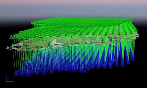
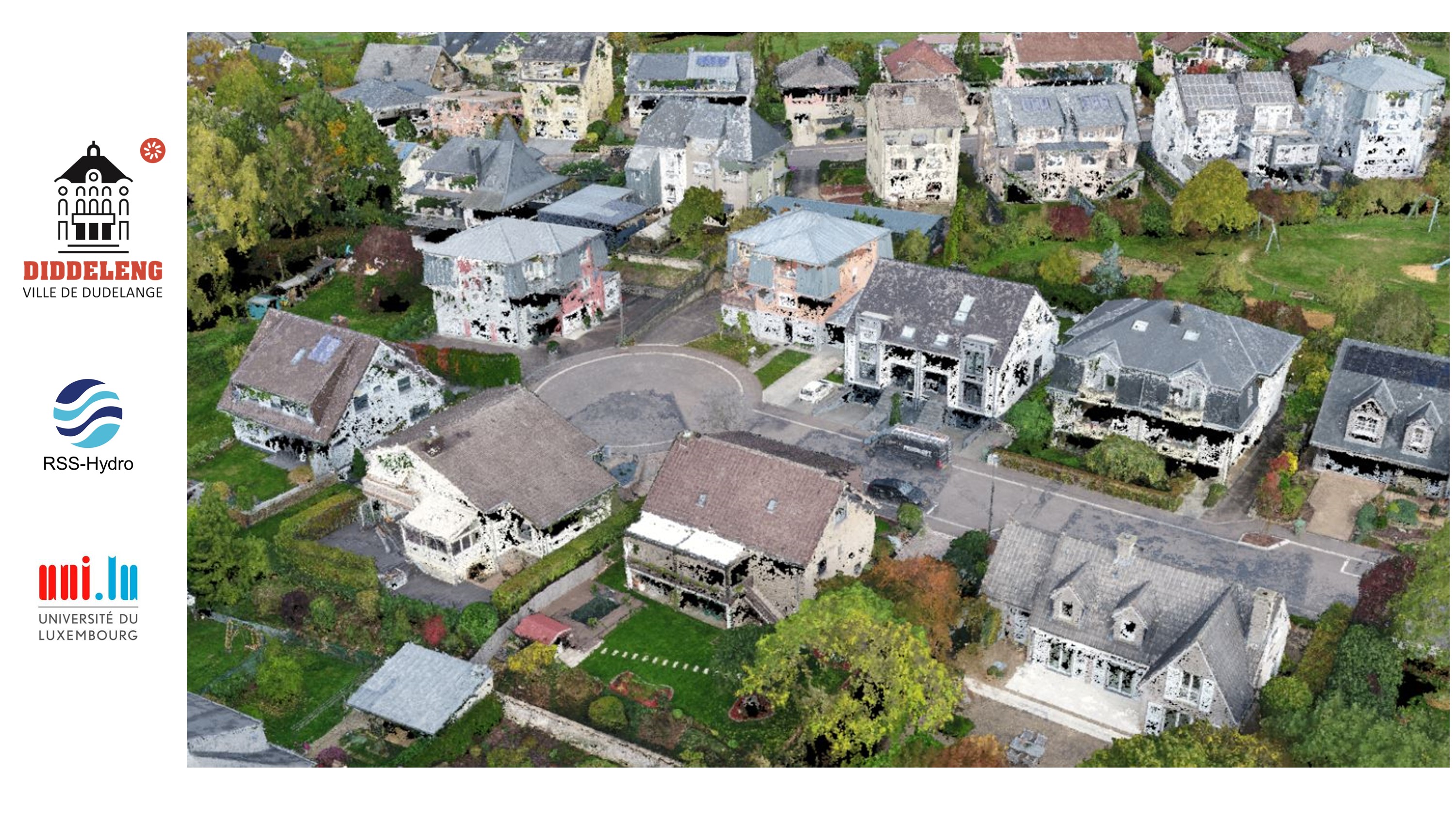
The benchmark data set, prepared by RSS-Hydro and the UL team, represents the results from newest remote sensing technologies and has the highest achievable accuracies, representing highest scientific quality and rigour. Having open access to this data set allows scientists, local city planners and engineers to carry out precise small-scale flood-related studies and to propose the best possible solution to the problems of urban flooding. The image shows a multi-dimensional aggregation of many thousands of high-resolution photos from a drone, with unprecedented detail.
Benefits
- High-quality, science-based products and services
- Products and services developed within PPPs
- Open data policy and IP in the public domain
- Cost-effective and tailor-made high-end solutions
