FRIEND-Service
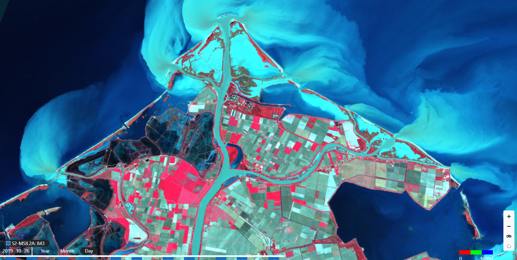
This service pilot aims at assessing the flood risk in selected areas, its impact on urban areas and the associated risk for population. It uses Sentinel-1 and Sentinel-2 change detection data and relevant processing chains to generate time-series of imagery and automatically detect changes on flood events dates, in the following areas: 1) Char-Piya region, an island used also as validation area (Bangladesh), 2) the eastern part of Australia between Queensland and New South Wales, an area relevant for Climate security issues and for its correlation with flood events caused by both hydro-meteorological factors and sea level anomalies (as for case 1), 3) the west Darfur, as additional example of inland area. The main output have been exposed through the FRIEND platform public GUI based on MEEO data cube technology, to provide citizens and non-expert users with a Flood Risk & Impact Assessment dashboard based on maps and time-series charts. The FRIEND platform also addresses expert users through the Jupyter Notebook web-based interactive development environment, thus allowing to configure and run customized pipelines and workflow.

Opis produktu
Flood Risk & Impact assEssment through automatic chaNge Detection of S1 and S2 images
Korzyści
Benefits description
- Flood Risk & Impact Assessment tool available to citizens and technical experts
- Increased awareness on extreme weather events and their impact
- Support of the achievement of the 2030 Sustainable Development Agenda
Specyfikacja techniczna
Miejsce obsługi
Service place description


