Pioneering H2020 project e-shape, strengthens the benefits for Europe of GEO - establishing ‘EuroGEO’
EuroGEO, as Europe’s contribution to the Global Earth Observation System of Systems, aims at bringing together Earth Observation resources in Europe. It allows Europe to position itself as global force in Earth observation through leveraging Copernicus, making use of existing European capacities and improving user uptake of the data from GEO assets.
Explore e-shape success stories
Historia sukcesu
EO Data for Detection, Discrimination and Distribution (4D) of Volcanic ash

Profil
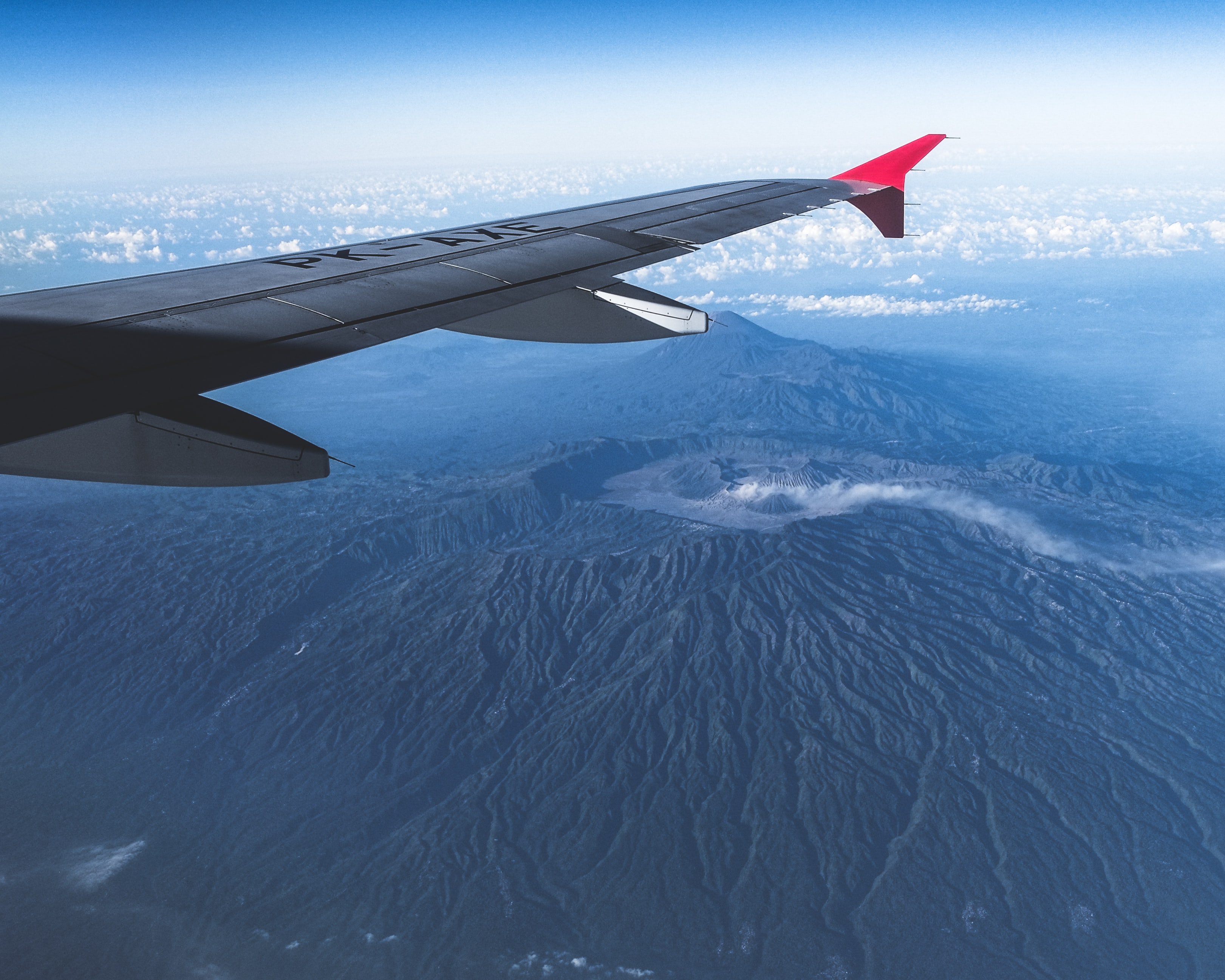
Volcanic eruptions are a natural disaster with great impact on society and environment. Even if they are relatively rare, the effects of eruptions on human activities and economy can be very severe. The aviation crisis in 2010, that resulted in 1.3 billion Euro damage, showcased the significant impacts to the general economic activity in Europe.

Wniosek
As reported in the EU Directive on European critical infrastructures and the assessment of the need to improve their protection, there is a need to improve the critical infrastructure protection capability in Europe and to help reduce vulnerabilities concerning critical infrastructures. In particular, air traffic is indicated as a European critical infrastructure.

Korzyści
- Support the resilience and decision-making process after a crisis in aviation related to airborne hazards
- Strengthen the EO data exploitation with tailoring procedures and model data assimilation for volcanic hazards.
- Integration of multi-source data in a unique visualization tool.

Meet the entities involved in e-shape


