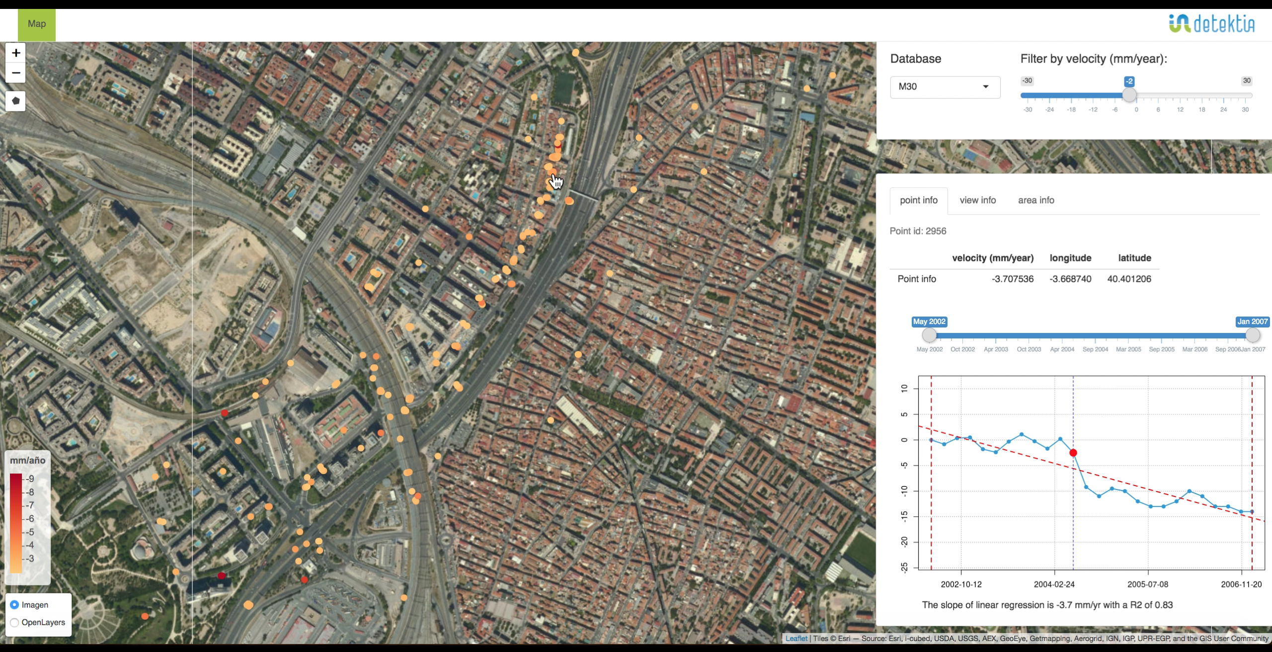
Monitoring

CityLST

Provides high resolution land surface temperature, derived from low resolution.
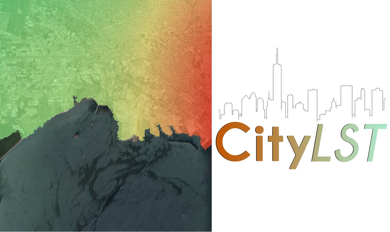
logo

Product Description

A data processing product which provides near-real time information every 15 minutes as well as historical, high resolution, street-level, land surface temperature data obtained from satellites (Satellite Earth Observation data, SatEO data). It can be used for every city regardless of its size or location (seaside or mountainous). It can be used in combination with other satellite products (e.g. wind, cloud coverage, vegetation index) for Intelligence Analytics.

Service Language
English
Metadata Language
English
Service Level Agreement
Terms & Conditions
Licence
Delivery Mode
  • Reports
  • WMS server
  • TIFF
Commercial level
Commercial
Service Life Cycle Status
Production
Scale
Global
Service Locator
Date of Publication
30 Jun 2021

Benefits

Benefits description

  • High spatial resolution of 100m x 100m, 30m x 30m and 12.5m x 12.5m
  • Ignore Cloud Coverage
  • Data Products can be tailored to offer updates of areas of interest for any city, urban & rural area.
  • Detail Report Export
Payment Model
Subscription
Price starting from
10000€ Annual price based on city size

Technical Specification

Deliverable spatial resolution
100.0 - 12.5 m
Deliverable accuracy vertical
12.5m
Deliverable accuracy horizontal
12.5m
Deliverable raster layers
  • Original Land Surface Temperature
  • Downscaled Land Surface Temperature
Deliverable vector layers
Deliverable Accuracy
Formats
  • PDF
  • TIFF
Deliverable datamodel
Deliverable datum
WGS 84
Datum translator
EPSG:4326
Start date of acquisition
2009-05-11
End date of acquisition
Status
Bespoke

Service place

Service place description

51.579907,4.934995

Compare products

0 products added

Compare

Services comparison

services

Related Content

EO based phytoplankton biomass service
Inland Water, Assess and monitor water bodies   , Local and regional planners, Regional governments, City authorities, Environment, Utilities (water, electricity, waste) , Water plants, Coastal management agencies
Using knowledge about how certain substances, such as one of the main pigments of the phytoplankton (Chlorophyll a - Chl a) alter the colour of the water, these parameters can be derived from optial Earth Observation (EO) satellite sensors. Water Insight provides monitoring services of Chl a based on EO data which is validated with in situmeasurements. Also the maps of WFD phytoplankton biomass status classes are created, by application of the WFD tresholds on Chl a as a proxy for phytoplankton biomass. The maps are made available in a portal, which allows to follow the lakes in time, zoom and download maps and time series.
Added
Added