Success story
Mountainow - success story


Profile
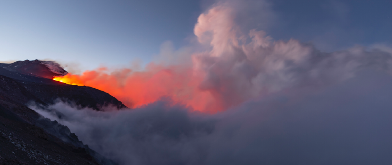
Climate change is changing mountains - creating new needs for safety and adaptation. Timely geo-localized information about mountain hazards is still hard to get. Most of the time, people go to the mountains missing critical information. Public/Private actors make decisions missing critical data – impacting thousands of lives and costing the outdoor/tourism/insurance industry millions.

Proposal
MountaiNow is an interactive live-map of mountain hazards for Europe and the world. Highly innovative is the combination of real-time crowdsourcing, space/satellite insight (Copernicus Sentinel data), Big Data analytics, and guided navigation – offering a new/unique set of actionable information. One key feature of MountaiNow is to allow for the easy capture and real-time sharing of critical hazard observations such as rock-falls, landslides, snow/ice avalanches, glacial lakes, and high river-discharge. Observations of hazard precursor signs such as glacier melt or fractured snow-pack are also included. The year-round service is already fully operational - available in four languages (English, French, German, Italian) and live as mobile app (android, iOS) and web-app

Benefits
- Social - Individuals are able to better target and manage mountain activities’ types and locations, resulting in (i) Saved lives and less accidents or situations of distress; and (ii) Less field interventions and more information on risk zones for rescue services and civil protection (over 3 million people belong to Alpine Clubs in Europe)
- Economic - More people go to the mountains safely, resulting in higher number of clients for tourism services and lower number of claims for the insurance industry. Tourism public/private actors (e.g. national parks) are able to improve scarce and costly field monitoring (helicopter surveys can reach €5’000/hour) delivering more relevant information to visitors and maintenance providers alike - thereby encouraging visits and increasing profits.
- • Environmental / Scientific: Operational actors and research networks get access to a new kind of observations (crowdsourcing/satellite based) – enabling advanced monitoring of mountain areas often difficult to reach (e.g. glaciers, permafrost) and related hazards (e.g. landslides, glacial lake outbursts) – further resulting in actionable information on climate change adaptation.