Success story
High photovoltaic penetration at urban scale


Profile
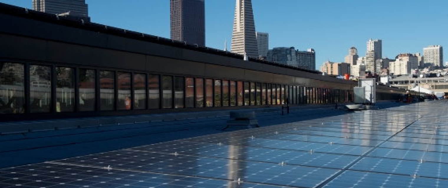
Rooftop PV systems in urban areas are very interesting because they do not emit air pollutants nor GHGs during their exploitation, they produce electricity where this electricity is consumed and they add value to unused urban roofs and reduce urban heat island effect. But, due to complex shading effects in urban context (vegetation, surrounding buildings, superstructures of roofs, etc.) and local atmospheric and meteorological effects, their massive penetration in urban areas will induce a significant variability in space and in time in the energy injected in the electric grid.

Proposal
There is a need, in urban area, for GIS-like tool for grid operators, urban planning decision makers, industries, aggregators for solar energy trading, citizen (PV self-consumption) and researchers. This GIS-tool is meant to provide an urban energy system modelling of distribution grids to plan, monitor and nowcast (i.e. and short term forecast) the spatiotemporal variability of the electric consumption on one hand and of the production of fleet of PV rooftop systems on the other hand.

Benefits
- Simulation of variability in space and time of the electric energy load and the yield productions of rooftop PVs
- Facilitation of the planning phase and the decision making
- assessment of specific behavior of residential, commercial, and industrial buildings and their electric load pattern
- Optimization of the PV self-consumption