Success story
Sargassum detection for seasonal planning
Fisheries; Environmental, Pollution & Climate; Fisheries; Travel, Tourism and Leisure


Profile
CLS Collecte Localisation Satellite SAMTool service

Proposal
Provide long-term seasonal prediction in bulletins tailored to the key users needs To raise awareness on the sargassum season to help the key users to prepare the mitigation in advance for a better management of the sargassum landings and to efficiently plan the sargassum cleaning and gathering efforts.

Benefits
- Daily detection of sargassum of the entire Tropical Region including Gulf of Guinea
- EO images allow a 6-month prediction of the sargassum situation
- Allows the local communities to prepare the management of the sargassum issue

Services comparison
services
Related Content
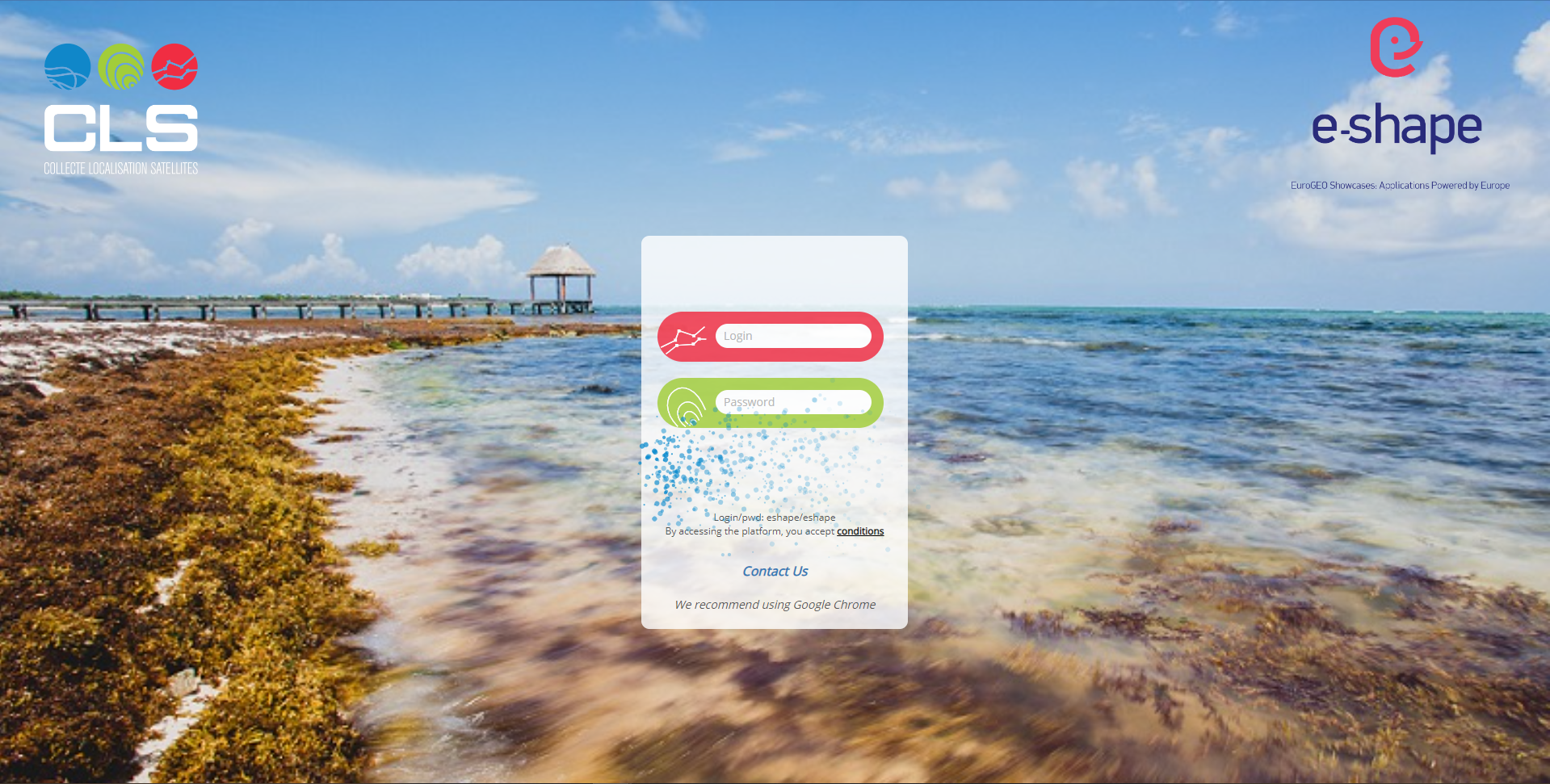
Sargassum Monitoring- SAMTool service
Environmental, Pollution & Climate, Environment, Regional governments, Local and regional planners, Travel, Tourism and Leisure
Detection and sargassum influxes identification at their earliest stage using a synergy of satellite sensors, combined with drift modelling
Added
Added

Satellite-derived Bathymetry 
Coastal, Fisheries, Map water depth or charting, Oil and Gas, Maritime
A cost-effective method for accurate water depth mapping of the worlds shallow coastal areas based on high resolution satellite images. The method is globally applicable.
Added
Added