Success story
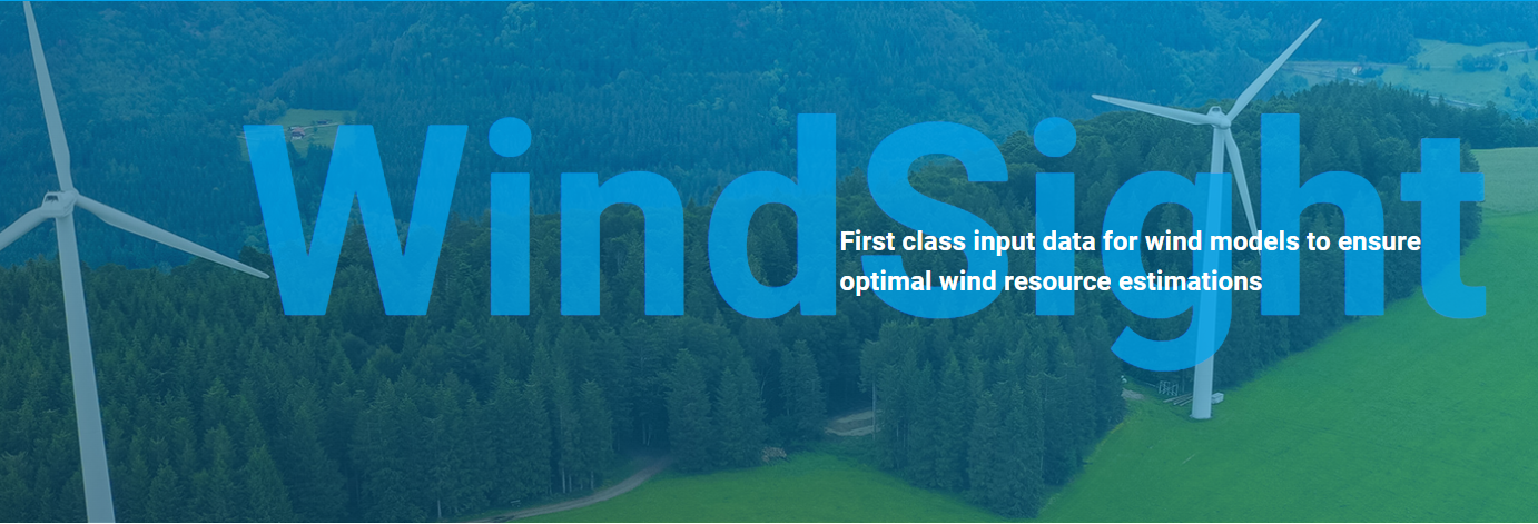
WindSight - First class input data for wind energy models


Profile
The cost and financing of new wind energy projects on land depends on the Annual Energy Production (AEP) and how accurate it can be estimated. High quality input data for modeling the AEP is valuable for the wind energy industry prior to wind farm construction.

Proposal
WindSight is a suite of novel EO-based products for characterization of the land surface roughness and topography anywhere in the world. Together with state-of-the-art flow modeling tools for wind energy planning and prospecting, WindSight can replace current procedures for land surface characterization, which are based on manual assessment, coarse global data sets, or costly airborne measurement campaigns.

Benefits
- Better understanding of users' needs and more suitable solution thanks to co-design approach
- Provision of sustainable EO data and derived products
- Improved decision making and planning

Services comparison
services
Related Content
WindSight
Mapping the requirements and the willingness to pay for data at different stages of land based wind farm planning. Establish co-creation cycles with end users from the wind energy industry. Develop a sustainable business case for the provisioning of EO data and derived products over land to the wind energy industry.
Added
Added

Satellite-derived Bathymetry
Coastal, Fisheries, Map water depth or charting, Oil and Gas, Maritime
A cost-effective method for accurate water depth mapping of the worlds shallow coastal areas based on high resolution satellite images. The method is globally applicable.
Added
Added