Success story
Assessing Geo-hazard vulnerability of Cities and Critical Infrastructures

Profile
Cities account for most of the population in Europe being the engines of the economic growth, but also posing the greatest environmental, social, political and cultural challenges. In order to address them the Urban Agenda for the EU (ratified in May 2016) focuses on priority themes as to improve the quality of life in urban areas; promote the cooperation between cities in the different member states to stimulate growth and innovation; and identify good projects that can be scaled up and transferred across the EU.

Proposal
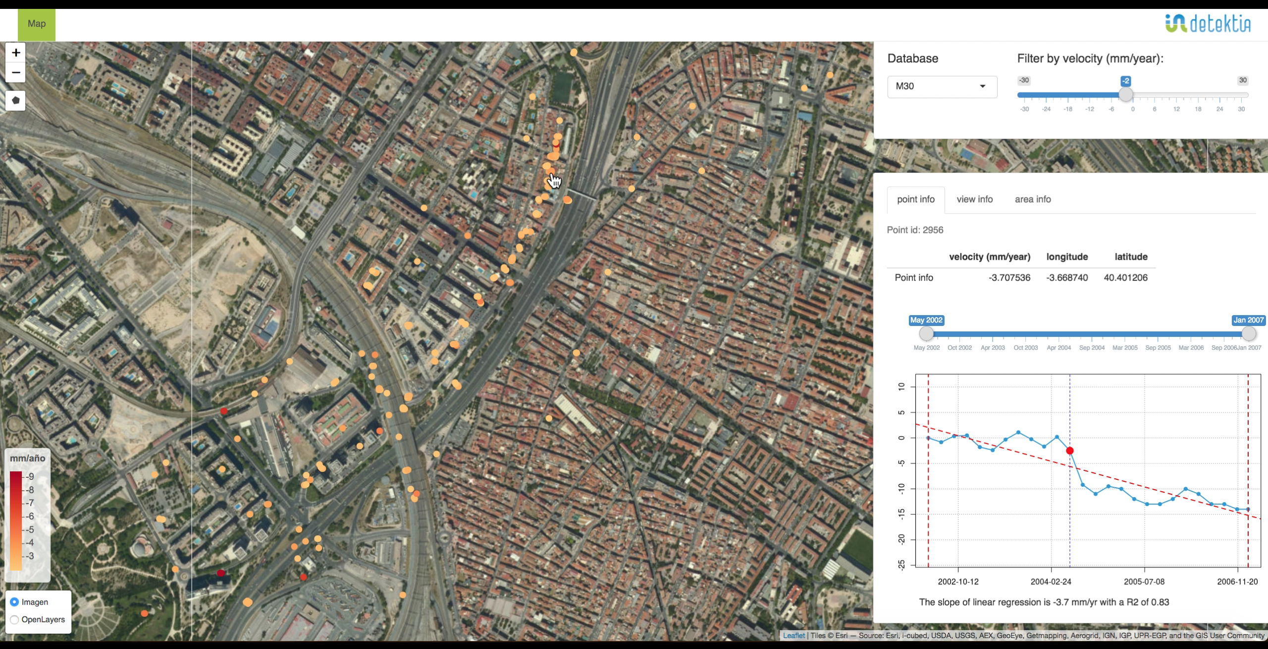
Furthermore, the UN SDG Goal 11 “make cities inclusive, safe, resilient and sustainable” aims, among others, to significantly reduce the human and economic losses caused by disasters, with a focus on protecting the people in vulnerable situations. In order to develop safer and more secure cities, products and services exploiting Earth Observation technologies can be used to map vulnerable urban areas that could be potentially affected by geo-hazards.

Benefits
- Increased use of multi-mission Earth Observation derived products and services to assess Urban Vulnerability and Geohazards.
- Systematical mapping of vulnerable urban areas and critical infrastructures threatened by Geohazards.
- Increased early awareness of key users and decision makers on the use of the EO derived products and services and increase urban resilience against geo-hazards


