Success story
Satellite Earth Observation-derived water bodies & floodwater record over Europe

Profile
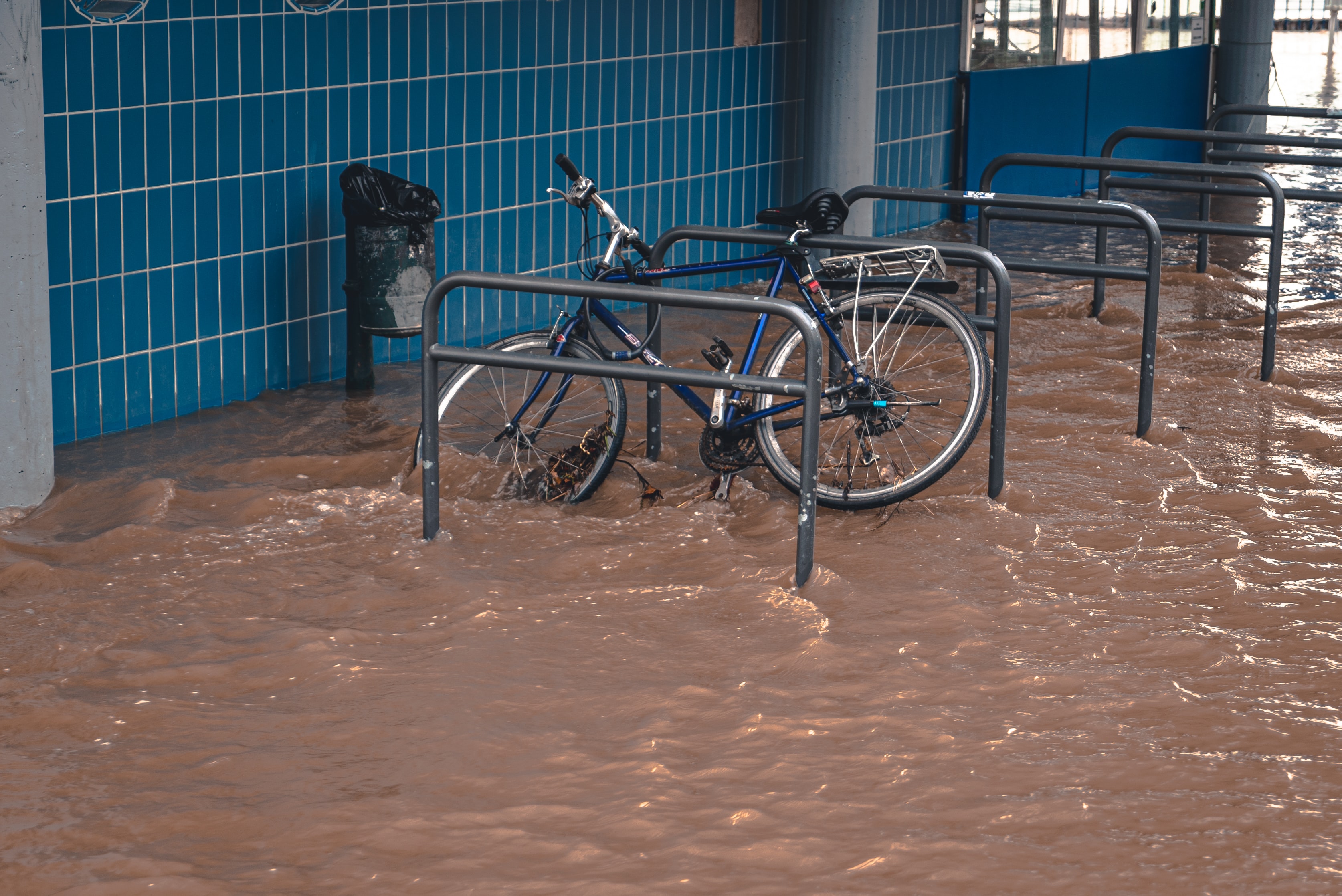
Hydrological extremes such as floods have enormous environmental, social and economic consequences and it is expected that climate change effects combined with a growing population in ill-planned flood-prone coastal and riverine areas will increase their impacts in the future. With more lives and assets at risk, governments are increasingly investing in flood reduction measures to improve or at least maintain the current safety level.

Proposal
Understanding historical trends in flooding greatly enhances the ability of flood managers to take action and to address the underlying risk. The HASARD mapping algorithm that was recently implemented on the European Space Agency’s (ESA) Grid Processing On Demand (GPOD) environment enables systematic, automatic and reliable spaceborne Synthetic Aperture Radar-based (SAR) mapping of terrestrial water bodies. The proposed pilot intends to upscale and operationalize the HASARD service so that a water bodies and floodwater record is generated at large scale and over a long period to support flooding-related disaster risk reduction In Europe.
Benefits
- Increased safety level
- Large-scale hazard estimation
- Use of the same data set for many different applications resulting in coherence of information


