Success story
EO Data for Detection, Discrimination and Distribution (4D) of Volcanic ash

Profile
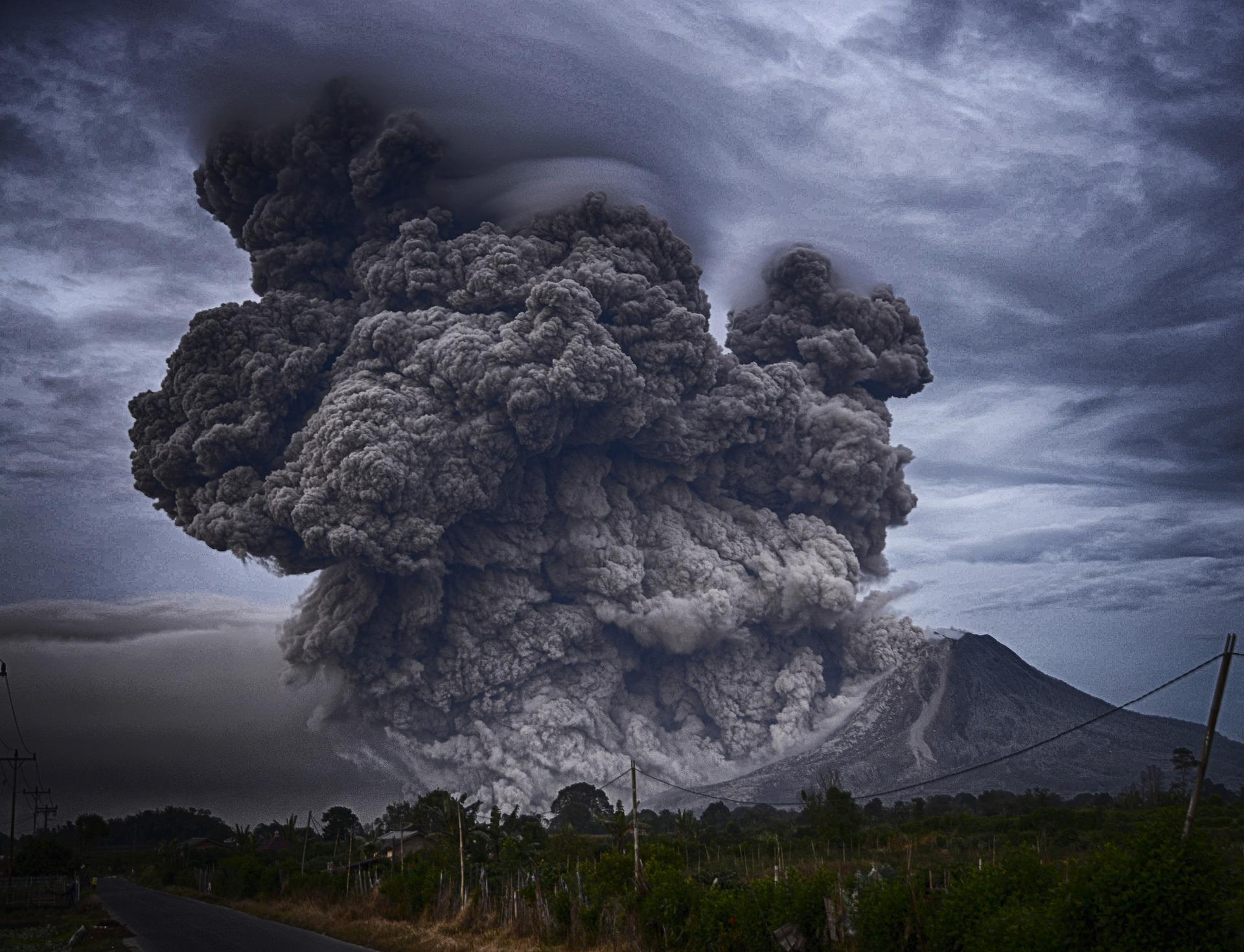
Volcanic eruptions are a natural disaster with great impact on society and environment. Even if they are relatively rare, the effects of eruptions on human activities and economy can be very severe. The aviation crisis in 2010, that resulted in 1.3 billion Euro damage, showcased the significant impacts to the general economic activity in Europe.
Proposal
As reported in the EU Directive on European critical infrastructures and the assessment of the need to improve their protection, there is a need to improve the critical infrastructure protection capability in Europe and to help reduce vulnerabilities concerning critical infrastructures. In particular, air traffic is indicated as a European critical infrastructure.
Benefits
- Support the resilience and decision-making process after a crisis in aviation related to airborne hazards
- Strengthen the EO data exploitation with tailoring procedures and model data assimilation for volcanic hazards.
- Integration of multi-source data in a unique visualization tool.
