Success story

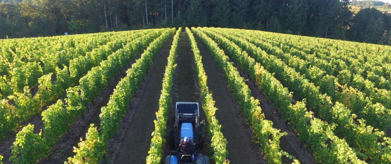
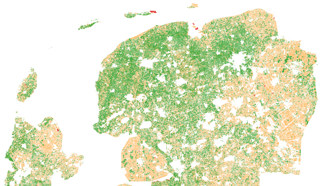
Vegetation-Index Crop-Insurance in Ethiopia

Agriculture; Land use; Farming; Insurance & Finance

Profile

Team composed of University of Twente (technical university based in the Netherlands), VITO (an EO company based in Belgium) and International Institute for Applied System Analysis (IIASA) creates together the user-oriented solution targeting small farm holders. The service is in demand because of the increased intensity and frequency of drought and associated impacts on the environment and societies. Our unique workflow and use of long term Earth observation data has been shown to provide accurate, timely and highly spatially detailed information on drought. We address specific requests to repurpose and repackage the existing workflow to meet user needs beyond the original use case in Ethiopia.

Proposal

The service will consist of (i) detecting and insuring false starts of the main growing season, (ii) introducing a ‘new-generation’ drought monitoring service that provides locally accurate semi-quantitative impact assessments (0-100%), and (iii) creating support through a versatile App to create ground-inventories of farmers assessments regarding suffered yield-gaps.

Benefits

  • Financial stability of small farmers leading to growth of the communtities
  • More efficient risk-mitigation measures
  • More sustainable development of the agriculture sector in regions exposed to droughts
  • Easily accessible monitoring of the yields
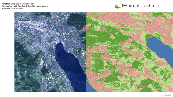
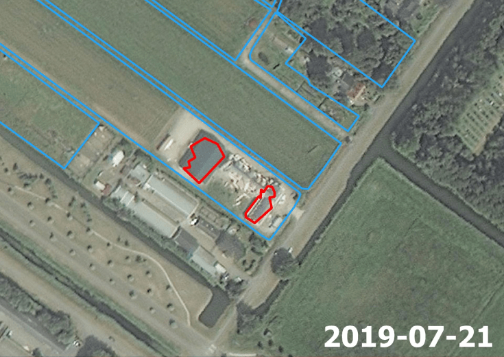
Compare products

0 products added

Compare

Services comparison

services

Related Content

Land and Land Cover Analysis
Agriculture, Infrastructure, Land Ecosystems, Land use, Farming, Insurance & Finance, Local and regional planners
With AutoMap, the handling of satellite images has never been easier! We simplify the production of maps based on earth observation data and handle the application of machine learning algorithms for land surface classifications by providing a solid data processing pipeline in a fully managed cloud infrastructure. Bring your own samples or use our default solution, while we take care of the thousands of images that fit your request, all the clouds in your area of interest and every aspect of process optimization and secure data storage. Don't worry about machine learning concepts, intelligent training data collection, hyperparameter optimization or informative feature spaces - That's our job as well! Seeing the world from above is now as demanding as ordering a pizza!
Added
Added
WatchITgrow
Agriculture, Land use, Farming
WatchITgrow is an online platform to support growers to monitor arable crops and vegetables in view of increasing yields, both qualitatively and quantitatively. WatchITgrow uses various types of data starting with satellite data combined with e.g. weather data, soil data, IoT data and field data provided by the grower. These data will be combined using new technologies such as big data analytics and machine learning to provide growers with more timely and personalized advice.
Added
Added
Mutation Signalling on agriculture parcels in the Netherlands
Agriculture, crop acreage, Monitor crops, crop types extent, Land use, Assess land value, ownership, type, use, Measure land use statistics, Agricultural commodities, Agriculture and rural development policy, Farming, Real-estate management, Local and regional planners, City authorities, Planners, Regional governments, Town authorities, Agriculture and rural policy makers
NEO signals changes to agriculture parcels. Monitoring, based on satellite imagery in combination with artificial intelligence, aims to detect changes in the boundaries of the parcels. The service saves time and money because, based on the mutation signalling, parcels can be looked at more specifically to determine the new parcel boundaries. This supports the process of keeping the national LPIS (Land Parcel Identification System) registry up to date. The service that NEO provides is unique: it is the first time that mutation signalling based on earth observation is performed automatically on this scale. In this way the 500.000 parcels in the Netherlands are monitored. Open data from the national satellite data portal in the Netherlands is used.
Added
Added
EO-based DSS for growers
Agriculture, Farming
Integrated free and open data from the Earth Observation into the decision support system (DSS) for growers around the world to improve daily decision making.
Added
Added