Success story
GEOGLAM
Agriculture; Land use

Profile
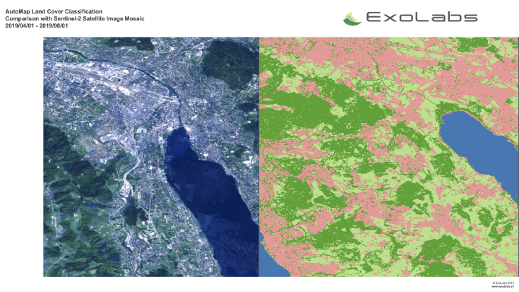
Demonstrating the European capacity in operational processing and (heterogeneous) data analysis upscaling and improvement of the current agricultural monitoring information products. Showcasing Copernicus data sets combined with the necessary in-situ, meteo and soil data (collected based on existing networks; expert regional assessment, and through citizen sourced streams).
Proposal
Building on existing operational tools and modifying them to meet the specific user needs of the GEOGLAM community. Integrating the above mentioned datasets with the Copernicus DIAS storage and processing power. This will allow the monitoring of several essential climate variables (e.g. LAI) and the development of agricultural metrics that are more quantitative and look beyond the current growing season as requested by the GEOGLAM community represented by the GEOGLAM secretariat.
Benefits
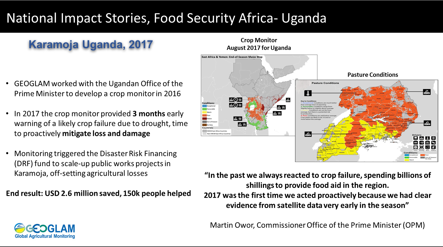
- National food security programs require timely accurate information on emerging threats
- Co-developed monitoring systems, operated by governments are the best avenue to turn information into decisions that have impact
- The information produced by ministries is trusted, deemed authoritative, and created close to the decision makers
- The monitoring information can be quickly used to respond to food security challenges
- Overall, national monitoring systems provide better information faster, in a setting where saving days and weeks can save thousands from hardship
