Success story
Firemaps.net supports management of UNESCO World heritage Site in West African Savanna
Detect and monitor wildfires; forest fire risk; damage
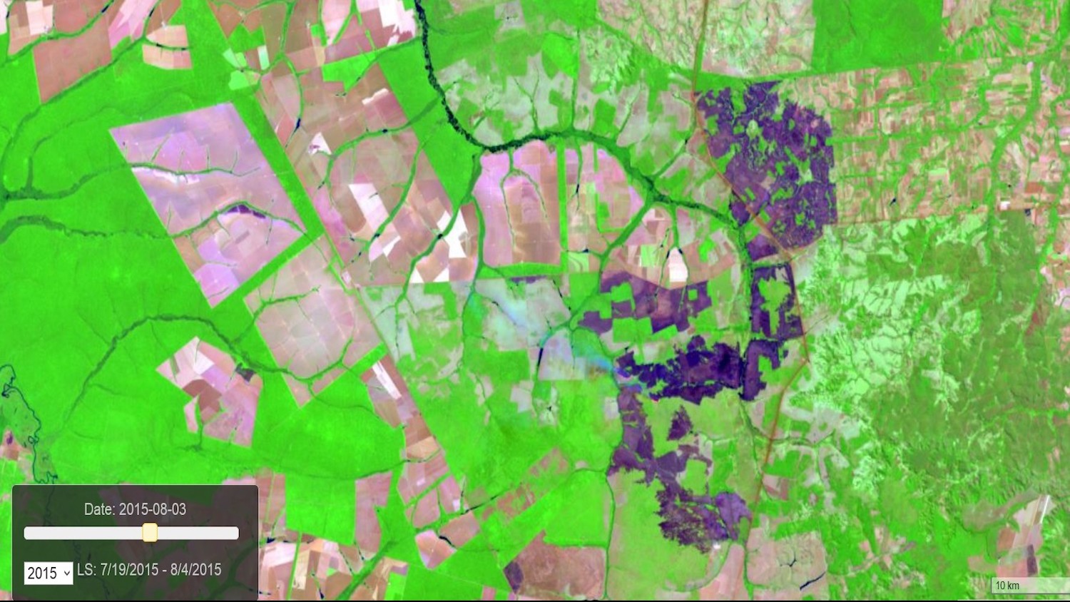
Profile
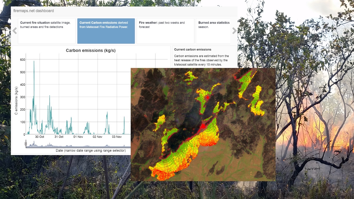
The UNESCO World heritage Site Comome National Park in Cote d'Ivoire, West Africa, is affected by large scale fires every year. Though fires are part of the savannah ecosystem of this large National Park, managers need to know more on extent, impacta, location and timing of the fires, as well as on related greenhouse gas emissions. This knowledge is needed to improve management of fires, plants and wildlife in the park.
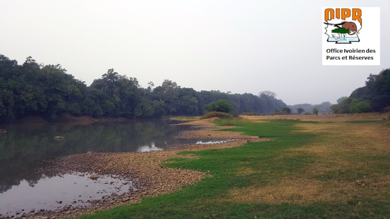
Proposal
To provide park managers with more insight into the fire dynamics of this large park and two adjacent agropastoral areas, ZEBRIS proposed the use of the platform firemaps..net to provide frequent and timely updates of burned areas and near real time monitoring of fires. To assess greenhouse gas emissions, measuring biomass burning and smoke release rates with infrared satellites was proposed. Fire risk and vulnerability were to be analysed using satellite data of past fire events, land cover information, weather data and fire behaviour models. Analysis and reporting-ready statistics were to be done largely automated in the processing environment provided by firemaps.net and served through a web GIS interface or as downloadable raster and vector data.
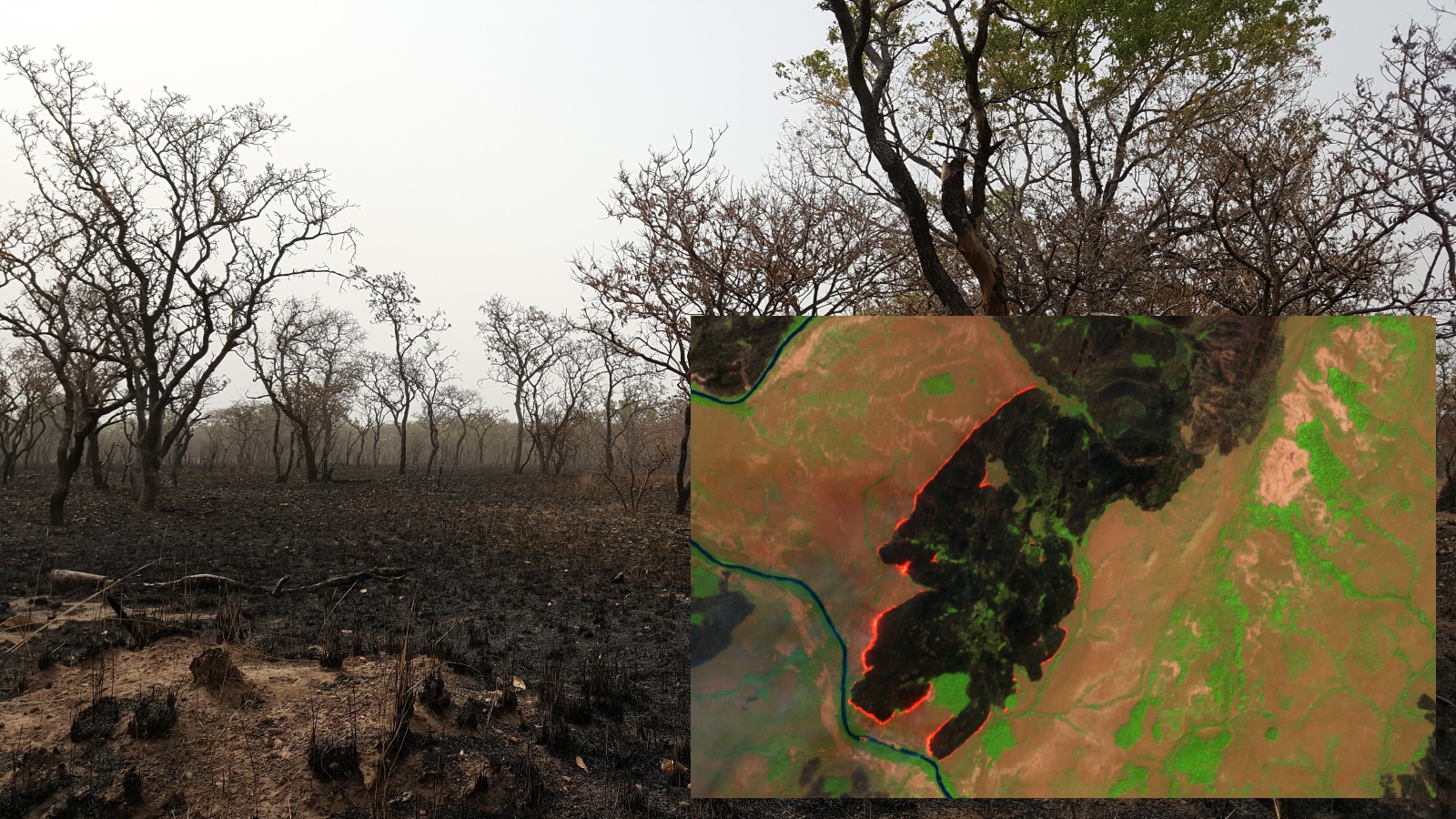
Benefits
- Easy to use interface with no data processing skills required.
- Ready to use statistics and charts.
- Weekly updates of burned area.
- Establishment of management objectives and the ability to track and report success


