Monitoring
CityLST
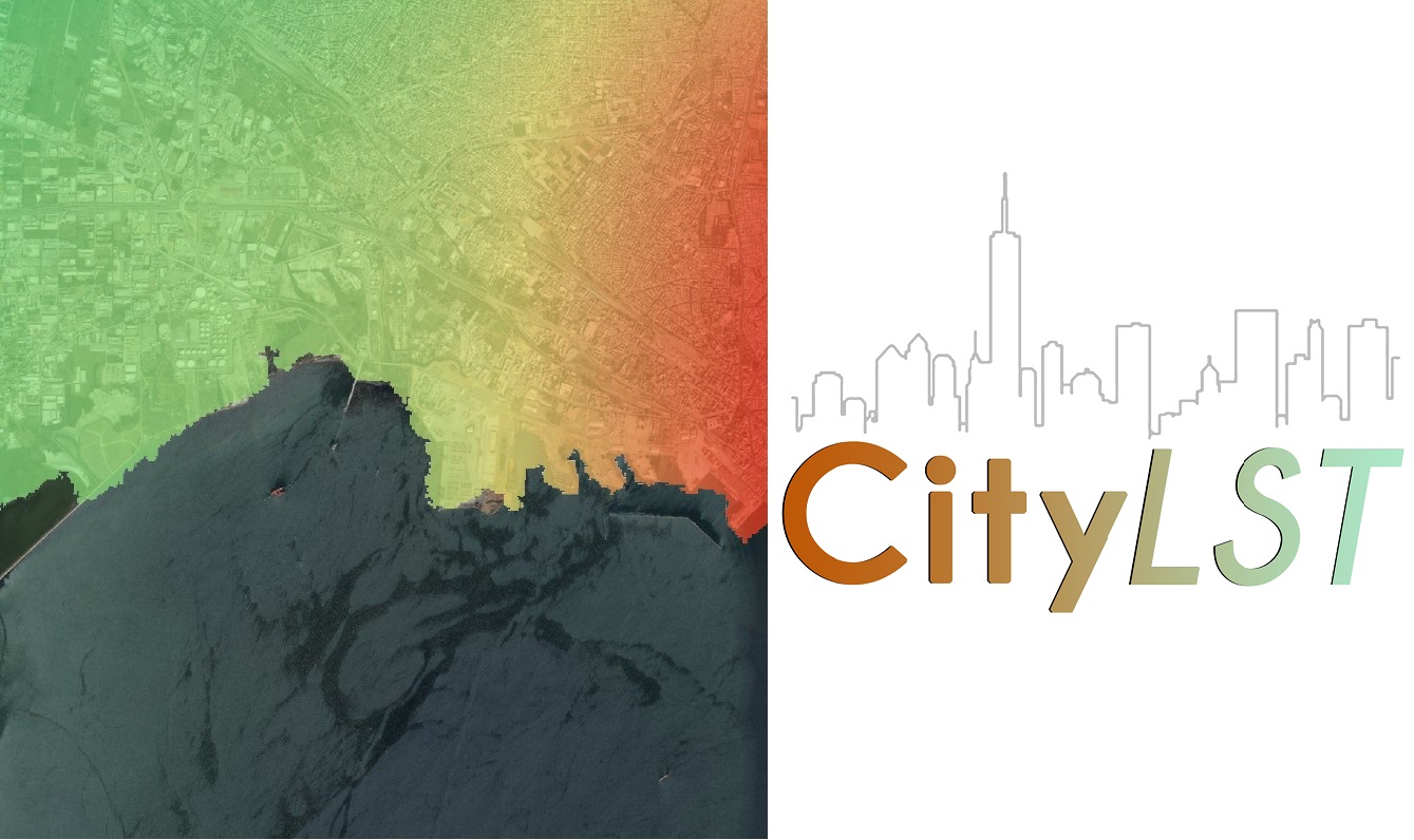
Provides high resolution land surface temperature, derived from low resolution.

Produktbeschreibung
A data processing product which provides near-real time information every 15 minutes as well as historical, high resolution, street-level, land surface temperature data obtained from satellites (Satellite Earth Observation data, SatEO data). It can be used for every city regardless of its size or location (seaside or mountainous). It can be used in combination with other satellite products (e.g. wind, cloud coverage, vegetation index) for Intelligence Analytics.
Leistungen
Benefits description
- High spatial resolution of 100m x 100m, 30m x 30m and 12.5m x 12.5m
- Ignore Cloud Coverage
- Data Products can be tailored to offer updates of areas of interest for any city, urban & rural area.
- Detail Report Export
Technische Spezifikation
Service Ort
Service place description


