Unternehmen
Detektia
We increase the resilience and security of all the planet inhabitants through low-cost monitoring tools; no uncontrolled infrastructures any longer. Thousands of infrastructures all over the world do not have any monitoring system implemented. Nowadays, when damage in an infrastructure is detected, it is usually very late and/or expensive to repair it.

Über
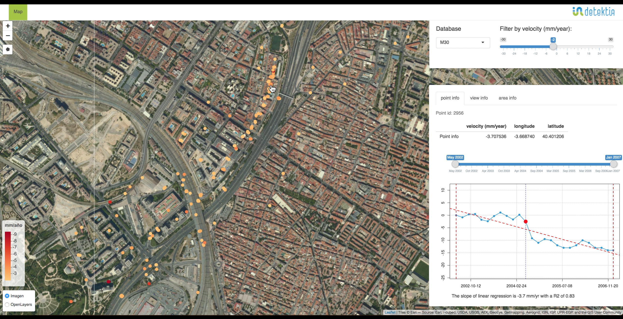
Detektia S. L. is a spin-off of the Laboratory of Topography and Geomatics of the Civil Engineering School of the Universidad Politécnica de Madrid (UPM). Detektia gathers and integrates the knowledge acquired in more than 20 years of applied research in ground and infrastructure monitoring. Detektia is formed by a team of one MSc and four doctors that master Differential SAR Interferometry (DInSAR) technology and artificial intelligence techniques with a wide vision of the energy, civil engineering, environmental and water sectors. Detektia's ambition relates to increasing the resilience and security of all the planet infrastructures and inhabitants. Detektia has systematized the Laboratory of Topography and Geomatics’ experience in applied research to create a web solution that is easily adaptable to different infrastructures, allowing the analysis of the integration of DInSAR processing results with artificial intelligence in a visual and dynamic way, facilitating the interpretation and decision-making. Detektia collaborates with the UPM in the development of basic research promoting the use of satellite RADAR technology in multiple dimensions of engineering and society through MSc and PhD theses.


