Success story
EYWA - EarlY WArning System for Mosquito-Borne Diseases

Profile
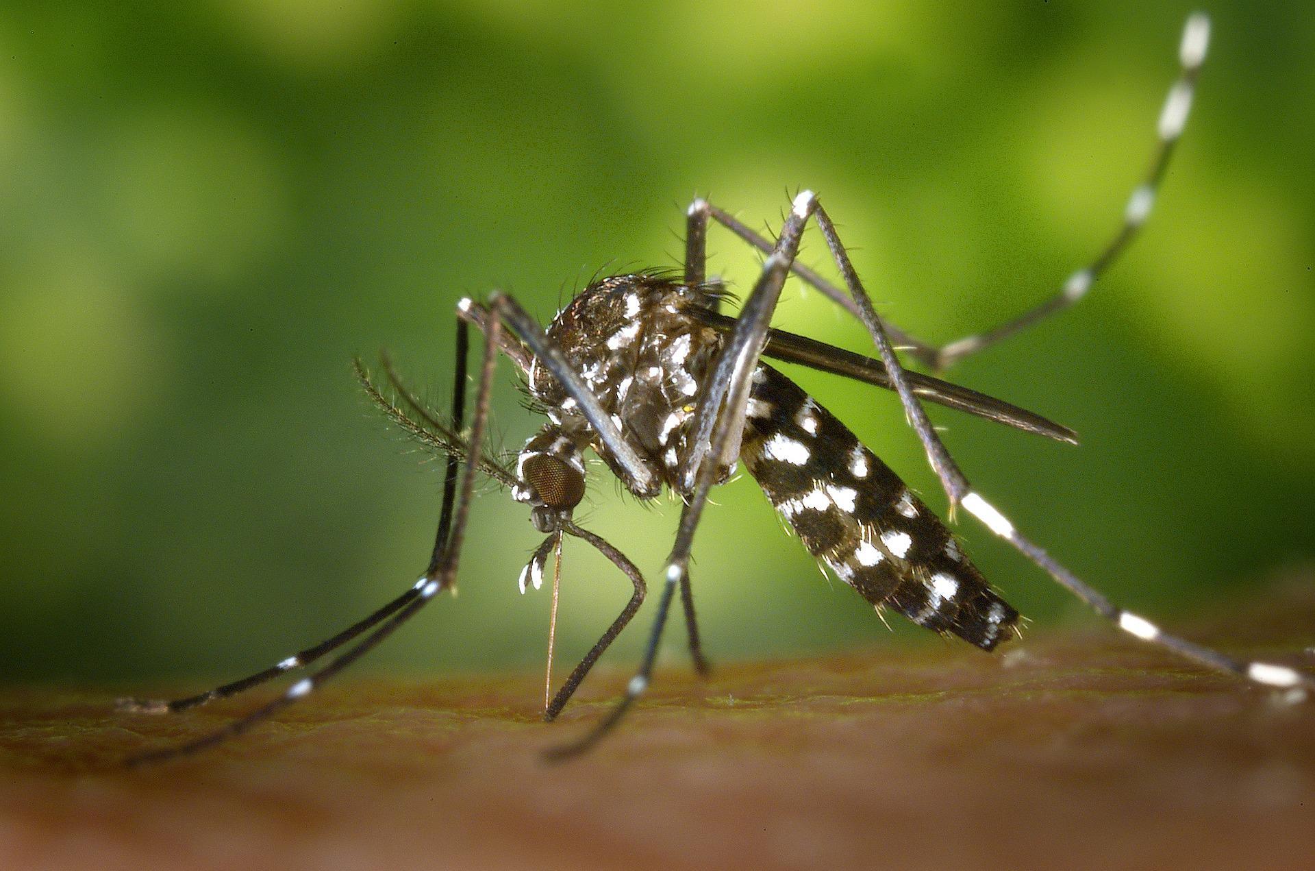
More than 80% of the global population lives in areas at risk of at least one major Vector-Borne Disease (VBD), with more than 700.000 deaths at a global scale (WHO, 2020). Mosquitoes are the protagonists of these vectors, transmitting pathogens to living beings with the most important being the Mosquito-Borne Diseases (MBDs) in Europe, namely West Nile Fever linked to Culex mosquitoes, Malaria linked to Anopheles mosquitoes and Chikungunya, Dengue and Zika linked to Aedes mosquitoes. There is a constantly increasing need to innovate on how the continuous threat of MBDs are confronted, treated but most of all foreseen. This gave birth to the idea of EYWA, an integrated and contemporary EarlY Warning System (EWS) for MBD, which utilizes state-of-the-art AI/ML technologies and furthermore assimilates big EO data and geo-spatial information, embodying a complete, adaptable (scalable, and replicable) and operational European EWS. EYWA offers operational and pre-operational services for MBD outbreak (TRL >7 up to 9) in five countries (France, Germany, Greece, Italy, Serbia).
Proposal
EYWA (EarlY WArning System for Mosquito borne diseases) is a prototype system addressing the critical public health need for prevention and protection against the Mosquito-Borne Diseases (MBDs) and lies under the umbrella of EuroGEO Action Group "Earth Observation for Epidemics of Vector-borne Diseases" which is led by the National Observatory of Athens / BEYOND Centre of Earth Observation Research and Satellite Remote Sensing. EYWA seeks to further augment the database of entomological data from non-European territories and evolve the suite of predictive models to include non-European areas where the climate conditions are very different to those found in Europe. This will help make the model predictions even more robust in the face of different inputs.

Benefits
- reliable and cost-effective Early Warning System
- addressing the niche of the needs
- enhanced decision making towards the prevention of outbreaks and mitigation measures of their impact
