Company

Planetek Italia s.r.l.

To enable people to act in an aware and timely manner in order to live better and preserve the earth. We simplify the adoption of geospatial data in order to understand the world better.

About

Planetek Italia is an Italian company, established in 1994, which employs 50 men and women, passionate and skilled in Geoinformatics, Space solutions, and Earth science. We design new processes and solutions that simplify the use of geo-localized information. We work in all phases of the life cycle of geo-localized data from the acquisition, storage, management, analysis and sharing of information to produce and generate knowledge. Our systems are designed to enable our users – public officials, researchers, major industries, entrepreneurs or individuals -, to act in an informed and timely manner. We operate in many application areas ranging from environmental and land monitoring, to open-government and smart cities, as well as E.O. scientific missions and planetary exploration. The main activity areas are: - Satellite, aerial and drone data processing for cartography and geo-information production; - Design and development of Spatial Data Infrastructures for geospatial data archive, management and sharing; - Design and development of real-time geo-location based solutions, through positioning systems such as GPS/Gallileo/GNSS and indoor location systems; - Development of software for the satellite on-board data and image processing and for ground segment infrastructures. Planetek Italia is also a premium dealer of Hexagon Geospatial software and a data provider of satellite images. The Planetek group consists of four companies based in Italy and Greece and is active in both national and international markets. Our high concern is strongly testified by international successful activities funded by the European Union, the Italian and European Space Agencies programmes and by unceasing collaborations with Universities, Research Centres and international remote sensing companies.

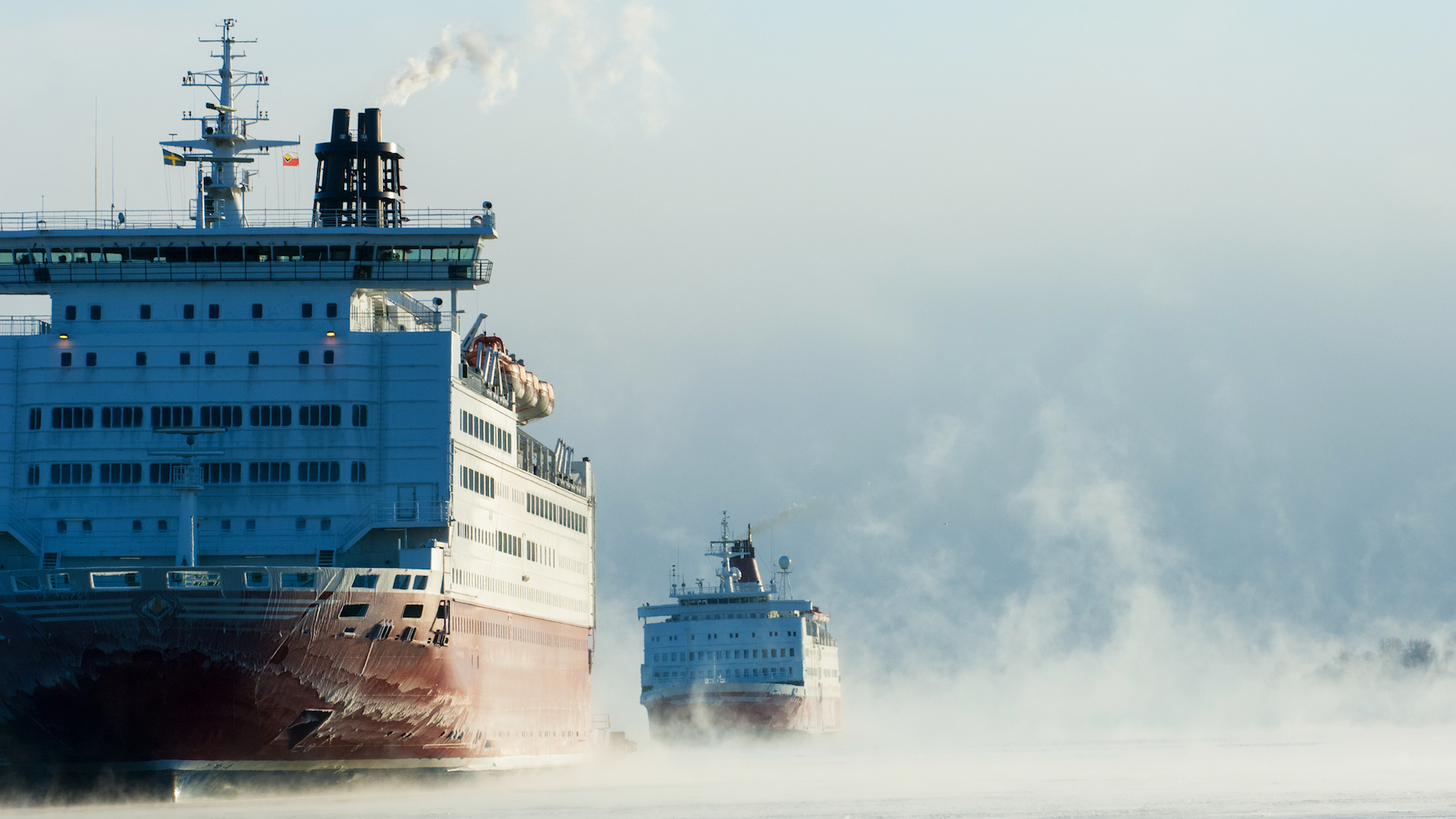
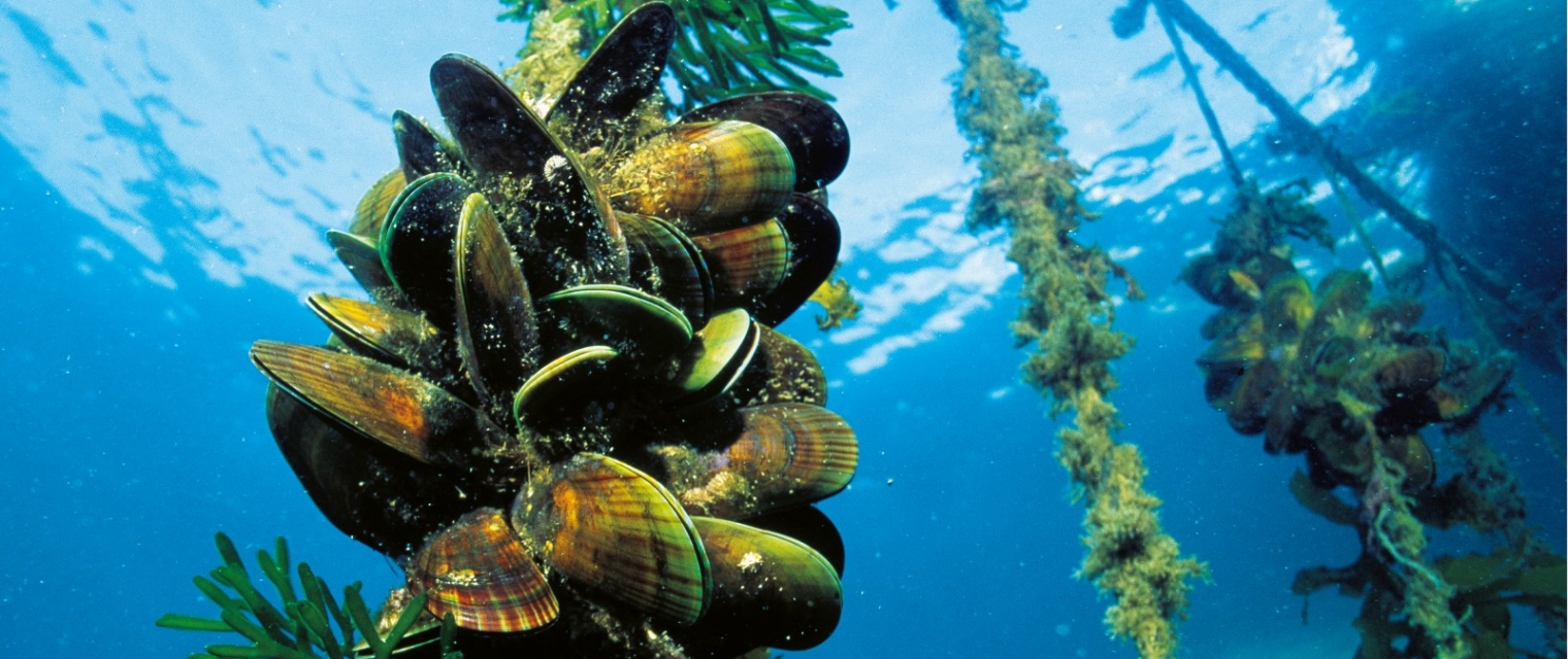
Landslides; subsidence; Detect and monitor ground movement ; Fisheries; Aquaculture; subsidence detection

Certifcation
  • https://www.planetek.it/eng/company/corporate_governance/quality_ethics_environment
Registration Number
VAT / Fiscal Code 04555490723
Address
Telephone
+390809644200
Fax
+390809644200
Contact Name
Massimo Zotti
Contact Position
Contact Telephone
+390809644200
Contact Email
zotti@planetek.it
Value chain
  • https://www.planetek.it/eng/company/corporate_governance/quality_ethics_environment
HQ location
Via Massaua,12 70132 Bari BA

Compare products

0 products added

Compare

Services comparison

services

Related Content

Preciso® Landslide
Landslides, landslide monitoring, subsidence detection, Infrastructure
Preciso® landslide uses readings taken from Synthethic Aperture Radar (SAR) data to measure sub-centimetric movements of reference points on the ground.
Added
Added
Satellite-derived Bathymetry
Coastal, Fisheries, Map water depth or charting, Oil and Gas, Maritime
A cost-effective method for accurate water depth mapping of the worlds shallow coastal areas based on high resolution satellite images. The method is globally applicable.
Added
Added
5D Multi-Purpose LIS (Land information System)
Agriculture, Infrastructure, Coastal, Floods, Forests, Inland Water, Land Ecosystems, Land use, Landslides, Sea-ice and icebergs, Snow & Ice, Topography, Urban Areas, Security, Assess Environmental impact of farming, Monitor crops, Assess Deforestation / Forest Degradation, Assess environmental impact of forestry, Assess and monitor water bodies   , Monitor land ecosystems and biodiversity, Monitor land cover and detect change , Baseline mapping , Map line of sight visibility (land surface), Asset infrastructure monitoring, Monitor coastal ecosystem, Monitor the coast line, Map and assess flooding, Detect and monitor wildfires, Forecast and assess landslides, Monitor sensitive risk areas, Forecasting epidemics and diseases, land administration, land use studies, monitoring of settlements, urban atlas, urban development, smart cities, rural areas, building inventory, building footprint, spatial planning, land cover, Solar energy, Construction, Forestry, Real-estate management, Transportation
The complexity of modern urban environments has led to the introduction of 3D Land Information Systems (LISs), which tend to replace traditional 2D LIS architectures for the purposes of urban planning and regeneration, land administration, real estate management and civil development. Both the need for 3D visualization of the geometry of buildings in various time instances through the years and the need for acquisition of 3D models in various levels of detail (LoDs), which not only fulfill the requirements of the various users but also they speed up the visualization process, are obvious. Thus, additional dimensions, that is, for time and scale, need to be supported by a modern LIS. This service introduces a 5D modelling pipeline that may be adopted by a multi-purpose LIS for the selective creation of 3D models of an urban area in various time instances and at various LoDs, enriched with cadastral and other spatial data. The methodology is based on automatic change detection algorithms for spatial-temporal analysis of the spatial changes that took place in subsequent time periods, using image orientation, dense image matching and structure from motion algorithms, the procedure requires photogrammetric stereo plotting, implements procedural modelling and relies on the availability of overlapping aerial and terrestrial imagery, ground control points and cadastral information.
Added
Added