Success story
Proactive Pipeline Maintenance With Rheticus® Network Alert
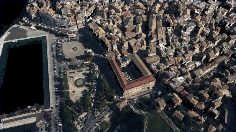
Urban Areas; Monitor urban areas; Asset infrastructure monitoring


Profile
Born in 2002 out of the aggregation of 11 municipal companies operating in Emilia-Romagna, first corporation of its kind nationwide, over time Hera has embarked on a journey of consistent and balanced growth, incorporating other companies active in the same areas. Hera, publicly listed since 2003, is now among the nation's largest multi-utilities, working mainly in the environment (waste management), water (aqueduct, sewerage and purification) and energy (electricity, gas distribution and sales, energy services) sectors. Within the panorama of public services in Italy, the Hera Group's leadership can easily be recognised in a few figures: almost 9,000 employees who meet the needs of 4.3 million citizens in 330 municipalities in Emilia-Romagna, Friuli-Venezia Giulia, Marche, Tuscany and Veneto.

Proposal
Planetek Italia is an Italian company, established in 1994, which employs 50 men and women, passionate and skilled in Geoinformatics, Space solutions, and Earth science. We provide solutions to exploit the value of geospatial data through all phases of data life cycle from acquisition, storage, management up to analysis and sharing. We operate in many application areas ranging from environmental and land monitoring to open-government and smart cities, and including defence and security, as well as Space exploration and satellite missions. The main activity areas are: Satellite, aerial and drone data processing for cartography and geo-information production; Continuous monitoring with satellite data of Earth’s surface, infrastructures, work sites, urban dynamics or marine coastal areas in support of decision-making and operational activities Design and development of Spatial Data Infrastructures (SDI) for geospatial data archive, management and sharing; Design and development of real-time geo-location based solutions, through positioning systems such as GPS/Galileo/GNSS and indoor location systems; Development of software for the satellite on-board data and image processing and for ground segment infrastructures.

Benefits
- Continuous monitoring of areas subject to subsidence or landslides
- Updated knowledge and immediate insight of land and infrastructure stability
- Total area monitoring and high precision measurements for accurate displacement trend analysis
- Reduced costs and increased efficiency in network operations and maintenance
- Millimetric measurements of ground displacement also record movement velocity and rate of acceleration

Services comparison
services
Related Content