Success story

Dive - Diver Information on Visibility in Europe

Profile

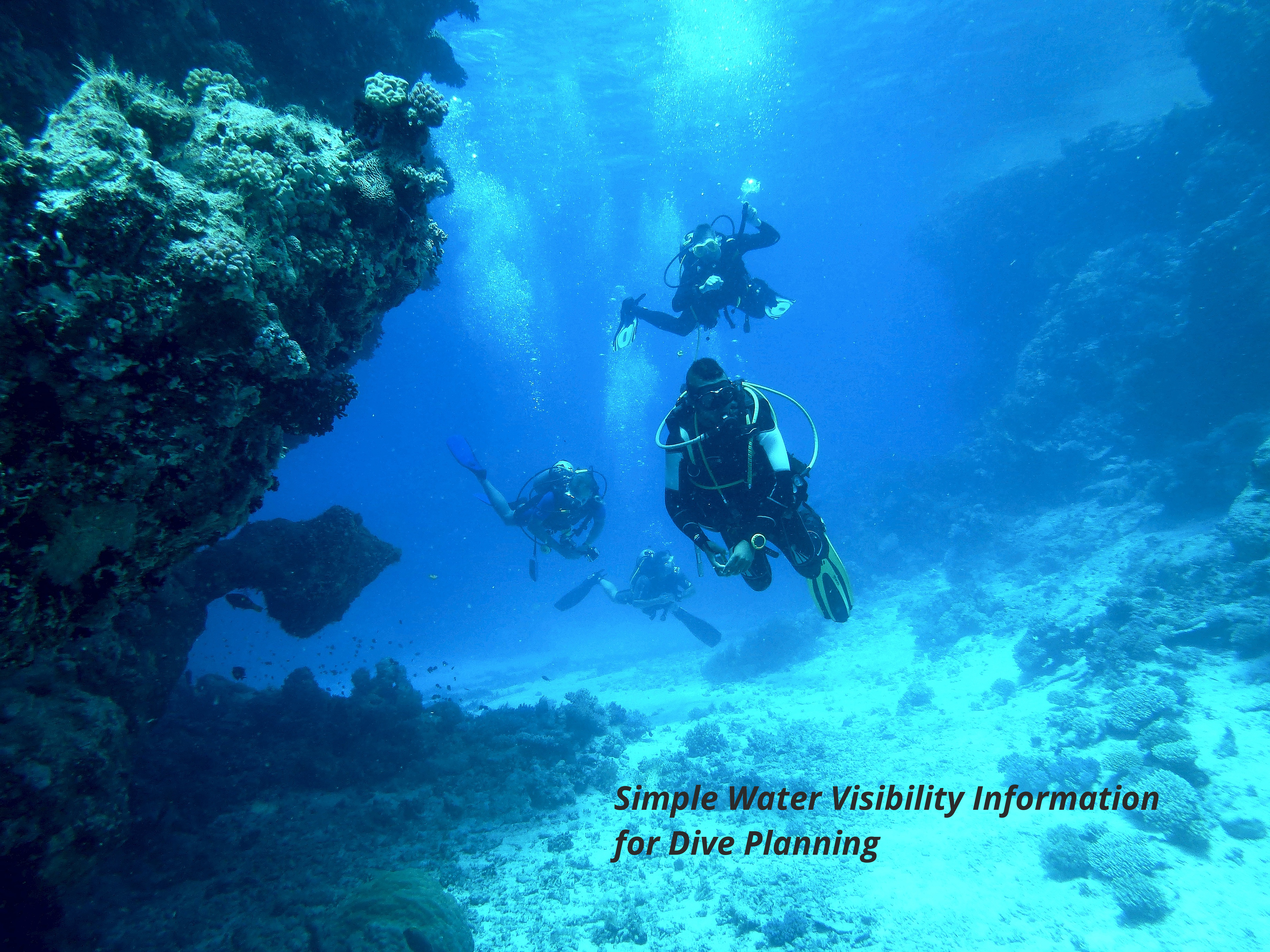
SCUBA Diving is a popular sports activity as well as a crucial commercial service for many coastal economic areas. There are approximately 3.2 million active divers in Europe, based on data provided by Recreational Scuba Training Council (RSTC). Visibility in the water is a safety factor in both recreational and commercial diving as well as a large factor in the enjoyment of recreational diving. Visibility can be affected by many factors or variables which can be measured from space.

Proposal

To enable the use of earth observation data in these user focused downstream services we will create a location based middleware web service that provides near real time (NRT) visibility information for a specific location based on EO data. The solution provides gives score for specific dive locations.

Benefits

  • Easily accessible information on near real time conditions
  • Data available for further development and different use cases in the future

Compare products

0 products added

Compare

Services comparison

services

Related Content

DIVE service
Visibility in the water is a safety factor in both recreational and commercial diving as well as a large factor in the enjoyment of recreational diving. Visibility can be affected by many factors or variables which can be measured from space. To enable the use of earth observation data in these user focused downstream services we will create a location based middleware web service that provides near real time (NRT) visibility information for a specific location based on EO data.
Added
Added
EO based phytoplankton biomass service
Inland Water, Assess and monitor water bodies   , Local and regional planners, Regional governments, City authorities, Environment, Utilities (water, electricity, waste) , Water plants, Coastal management agencies
Using knowledge about how certain substances, such as one of the main pigments of the phytoplankton (Chlorophyll a - Chl a) alter the colour of the water, these parameters can be derived from optial Earth Observation (EO) satellite sensors. Water Insight provides monitoring services of Chl a based on EO data which is validated with in situmeasurements. Also the maps of WFD phytoplankton biomass status classes are created, by application of the WFD tresholds on Chl a as a proxy for phytoplankton biomass. The maps are made available in a portal, which allows to follow the lakes in time, zoom and download maps and time series.
Added
Added