Historia exitosa

Successful Integration of EO-Based Observations and Machine Learning in Spring Peak Flow Forecasting

Climate; Monitor snow cover; Urban Areas; Local and regional planners; Transportation; Travel, Tourism and Leisure

Perfil

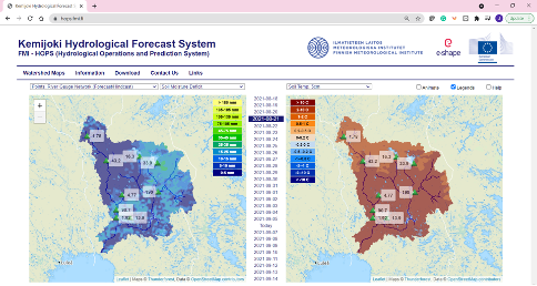
The Finnish Meteorological Institute (FMI) provides detailed information to support in more efficient hydropower operations through reduction of hydrological model uncertainties arising from incomplete information on snowpack states over large areas through increasing observation resolution and through data ingestion to the FMI HOPS model with both probability based and non-probabilistic frameworks. This service aims in reduction of spring snowmelt driven flood risks through more reliable hydrological nowcasts and forecasts. It is increasing forecast end-users' situational awareness and understanding of uncertainties and consequently providing a basis for optimization of hydropower operations. The outcome aims to bridge the gap between forecast providers and forecast end users by seeking solutions to remove barriers for information dissemination, application, and utilization.

Propuesta

The Finnish Meteorological Institute (FMI) provides detailed information to support in more efficient hydropower operations through reduction of hydrological model uncertainties arising from incomplete information on snowpack states over large areas through increasing observation resolution and through data ingestion to the FMI HOPS model with both probability based and non-probabilistic frameworks. This service aims in reduction of spring snowmelt driven flood risks through more reliable hydrological nowcasts and forecasts. It is increasing forecast end-users' situational awareness and understanding of uncertainties and consequently providing a basis for optimization of hydropower operations. The outcome aims to bridge the gap between forecast providers and forecast end users by seeking solutions to remove barriers for information dissemination, application, and utilization.
Beneficios

  • Successful assimilation of EO-based SWE data in improving spring snowmelt driven runoff peak timing and volume forecasts.
  • Successful communication of uncertainties relating to long term seasonal ensemble forecasting.
  • Successful implementation of machine learning based new streamflow forecasting methods.
  • Successful integration of hydrometeorological data from multiple independent sources.
  • Useful overall reduction of official forecast uncertainties through auxiliary information dissemination.

Comparar productos

0 productos añadidos

Comparar

Comparación de servicios

servicios

contenido relacionado

Snow Monitoring
climate change, Assess ground water and run-off, Monitor snow cover, snow cover, Environment, Hydroelectric, Ski, Tourism
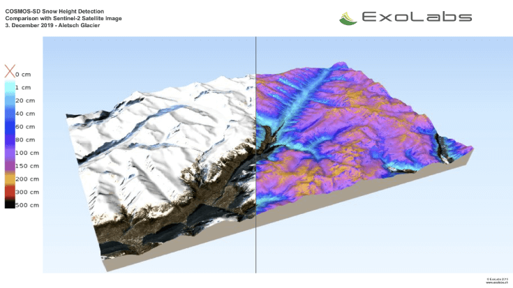
Continous Snow Monitoring System is available as global 500 m resolution snow cover, regional 20 m resolution snow cover for various areas and 20 m resolution snow depth product for Switzerland, the Rocky Mountains and Sierra Nevada. All algorithms can be further extended to any regions of interest.
Adicional
Adicional
Sargassum Monitoring- SAMTool service
Environmental, Pollution & Climate, Environment, Regional governments, Local and regional planners, Travel, Tourism and Leisure
Detection and sargassum influxes identification at their earliest stage using a synergy of satellite sensors, combined with drift modelling
Adicional
Adicional
5D Multi-Purpose LIS (Land information System)
Agriculture, Infrastructure, Coastal, Floods, Forests, Inland Water, Land Ecosystems, Land use, Landslides, Sea-ice and icebergs, Snow & Ice, Topography, Urban Areas, Security, Assess Environmental impact of farming, Monitor crops, Assess Deforestation / Forest Degradation, Assess environmental impact of forestry, Assess and monitor water bodies   , Monitor land ecosystems and biodiversity, Monitor land cover and detect change , Baseline mapping , Map line of sight visibility (land surface), Asset infrastructure monitoring, Monitor coastal ecosystem, Monitor the coast line, Map and assess flooding, Detect and monitor wildfires, Forecast and assess landslides, Monitor sensitive risk areas, Forecasting epidemics and diseases, land administration, land use studies, monitoring of settlements, urban atlas, urban development, smart cities, rural areas, building inventory, building footprint, spatial planning, land cover, Solar energy, Construction, Forestry, Real-estate management, Transportation
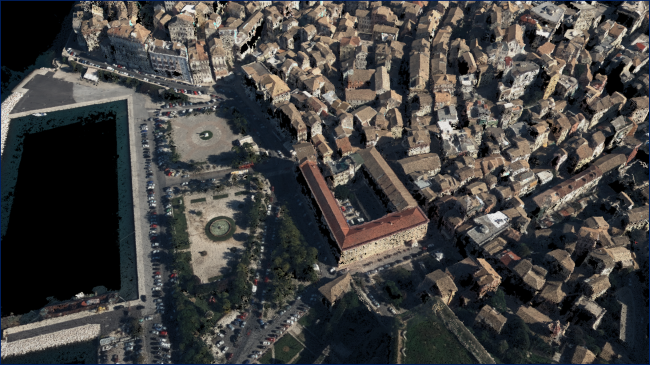
The complexity of modern urban environments has led to the introduction of 3D Land Information Systems (LISs), which tend to replace traditional 2D LIS architectures for the purposes of urban planning and regeneration, land administration, real estate management and civil development. Both the need for 3D visualization of the geometry of buildings in various time instances through the years and the need for acquisition of 3D models in various levels of detail (LoDs), which not only fulfill the requirements of the various users but also they speed up the visualization process, are obvious. Thus, additional dimensions, that is, for time and scale, need to be supported by a modern LIS. This service introduces a 5D modelling pipeline that may be adopted by a multi-purpose LIS for the selective creation of 3D models of an urban area in various time instances and at various LoDs, enriched with cadastral and other spatial data. The methodology is based on automatic change detection algorithms for spatial-temporal analysis of the spatial changes that took place in subsequent time periods, using image orientation, dense image matching and structure from motion algorithms, the procedure requires photogrammetric stereo plotting, implements procedural modelling and relies on the availability of overlapping aerial and terrestrial imagery, ground control points and cadastral information.
Adicional
Adicional
EO based phytoplankton biomass service
Inland Water, Assess and monitor water bodies   , Local and regional planners, Regional governments, City authorities, Environment, Utilities (water, electricity, waste) , Water plants, Coastal management agencies
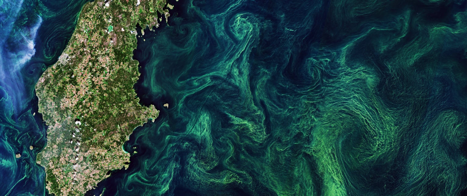
Using knowledge about how certain substances, such as one of the main pigments of the phytoplankton (Chlorophyll a - Chl a) alter the colour of the water, these parameters can be derived from optial Earth Observation (EO) satellite sensors. Water Insight provides monitoring services of Chl a based on EO data which is validated with in situmeasurements. Also the maps of WFD phytoplankton biomass status classes are created, by application of the WFD tresholds on Chl a as a proxy for phytoplankton biomass. The maps are made available in a portal, which allows to follow the lakes in time, zoom and download maps and time series.
Adicional
Adicional