Historia exitosa
FRIEND - Flood Risk & Impact assEssment through automatic chaNge Detection of S1 and S2 images


Perfil
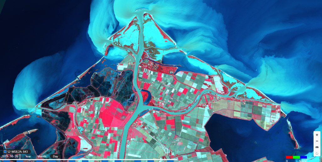
This pilot aims at assessing the flood risk in selected areas, its impact on urban areas and the associated risk for population. It will use Sentinel-1 and Sentinel-2 data and relevant processing chains to generate time-series of imagery and automatically detect changes within a given period.

Propuesta
The output will be exposed through the MEEO (pilot coordinator) platform whose data cube technology will be enriched with additional relevant datasets to provide both citizens and experts with a Flood Risk & Impact Assessment dashboard based on indicators, time-series charts or forecasting maps. The objective is to have a smart organization of the heterogeneous relevant datasets that facilitates the analysis of the data available and, therefore, the monitoring activities over an AoI.

Beneficios
- Flood Risk & Impact Assessment tool available to citizens and technical experts
- Increased awareness on extreme weather events and their impact
- Support of the achievement of the 2030 Sustainable Development Agenda

Comparación de servicios
servicios
contenido relacionado