Galería
Gallery
Todos
Historias de éxito y estudios de caso
Servicios
Compañías
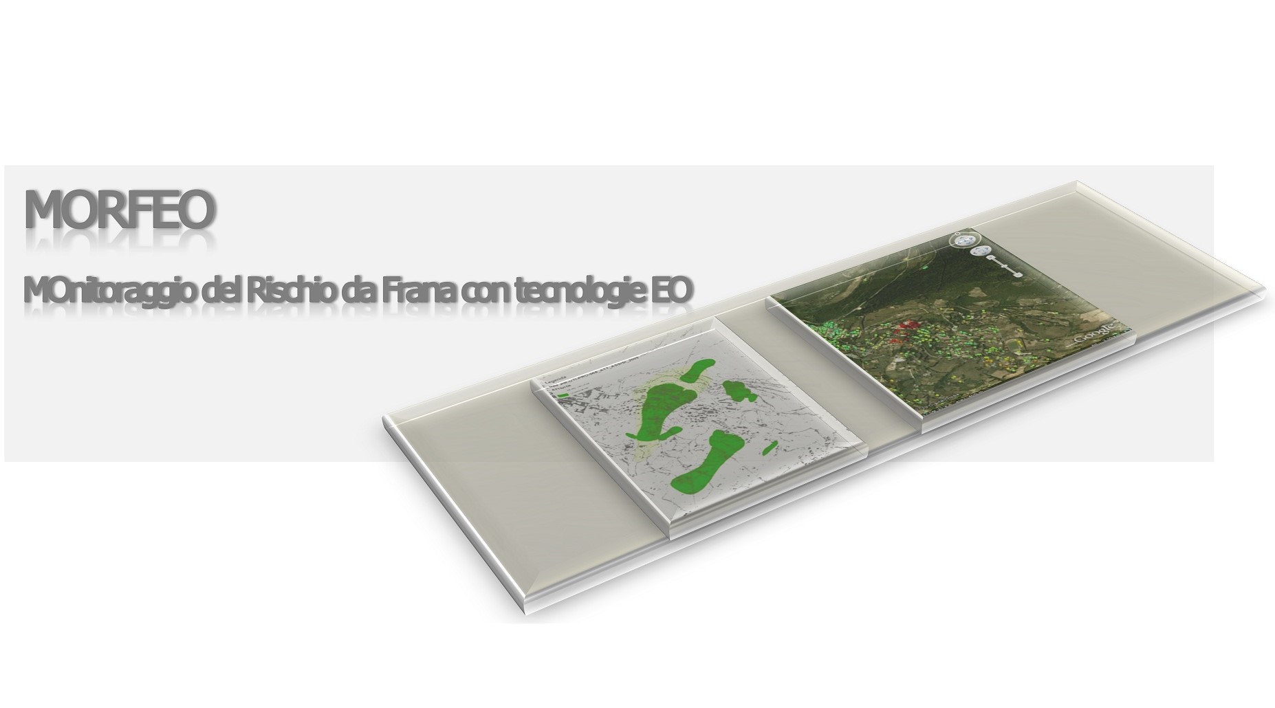
Preciso® Landslide
Servicio
Preciso® landslide uses readings taken from Synthethic Aperture Radar (SAR) data to measure sub-centimetric movements of reference points on the ground.
Landslides, landslide monitoring, subsidence detection, Infrastructure

Firemaps.net
Servicio
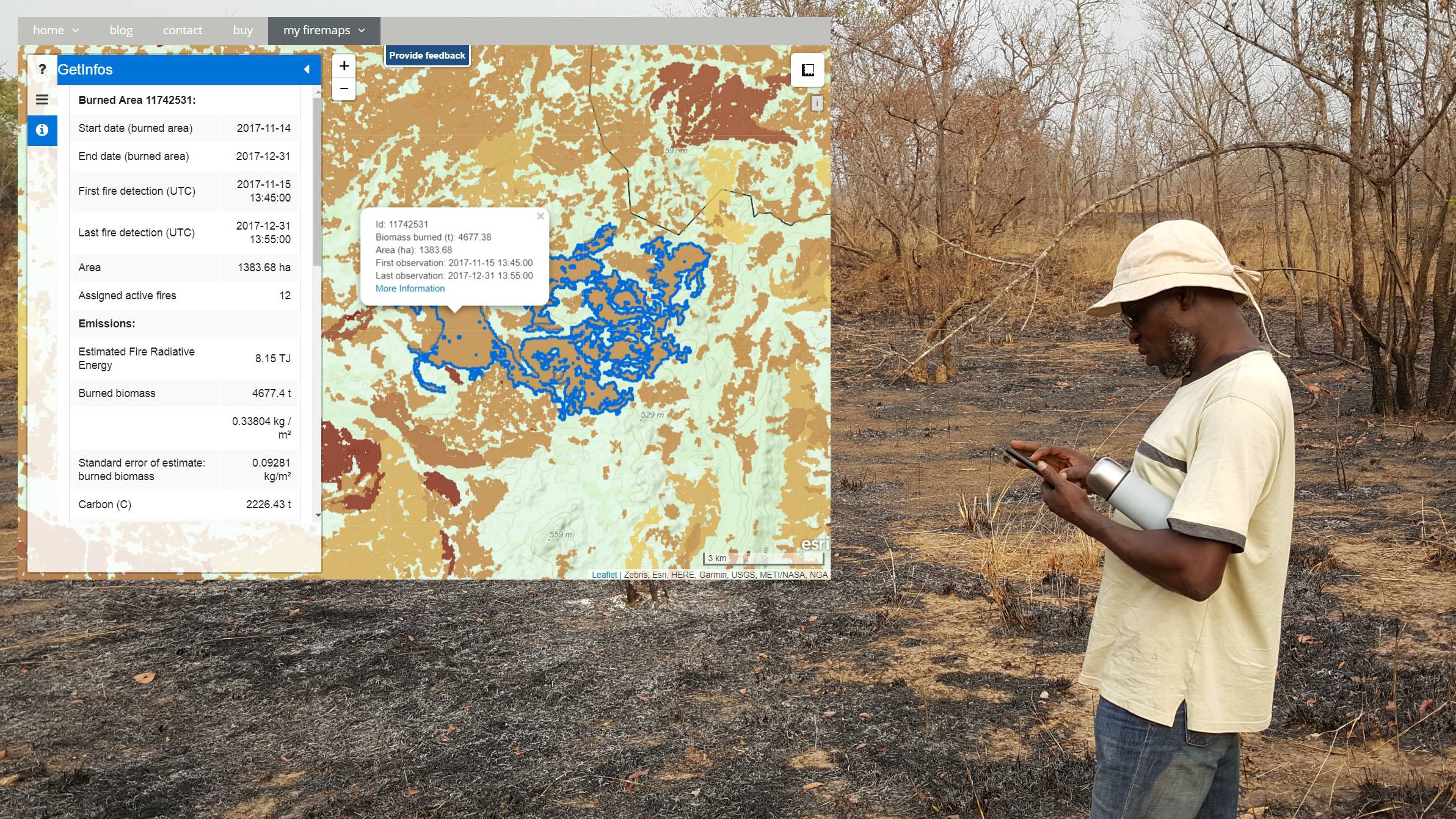
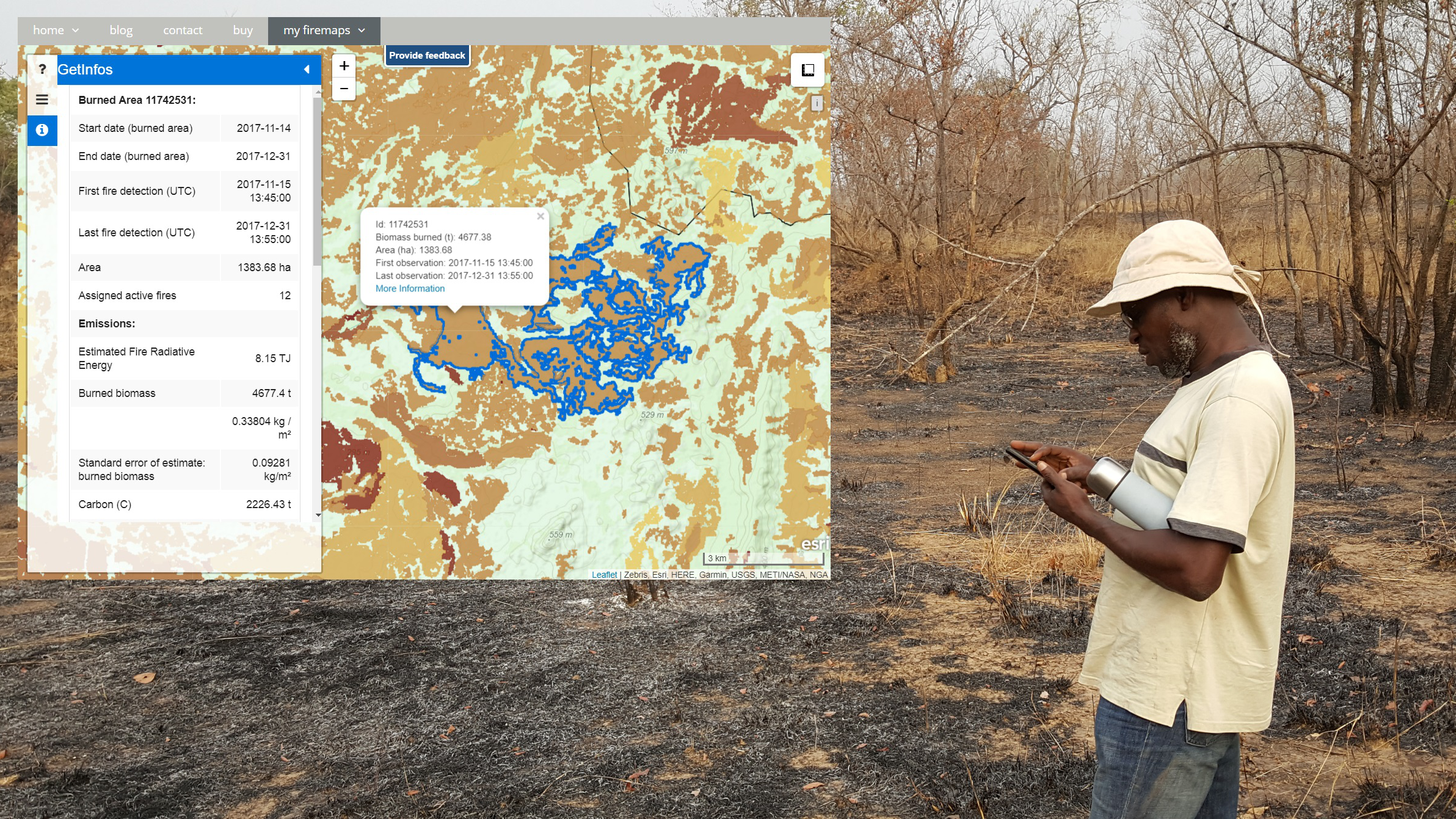
Firemaps.net provides monitoring of fires from satellites.
Fires, burnt scars, damage, forest fire risk, fire extent, Climate, Atmosphere, Insurance & Finance

WindSight
Servicio
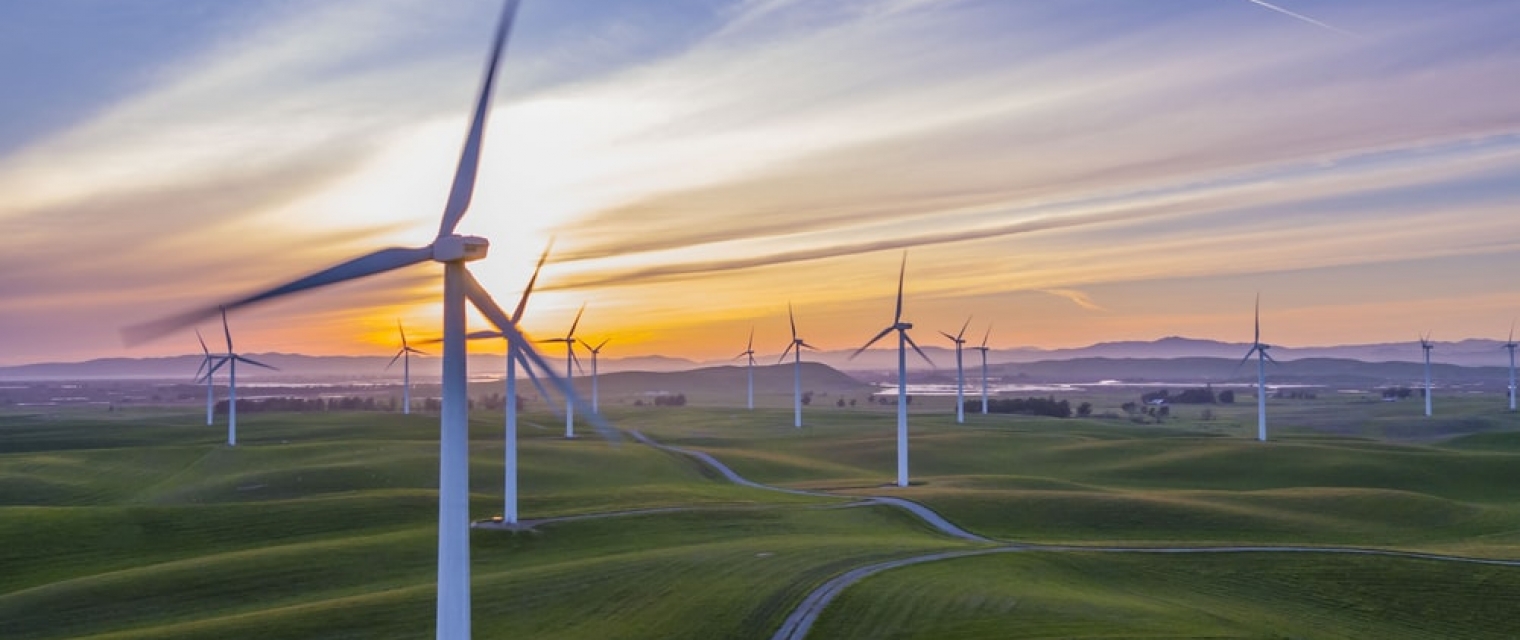
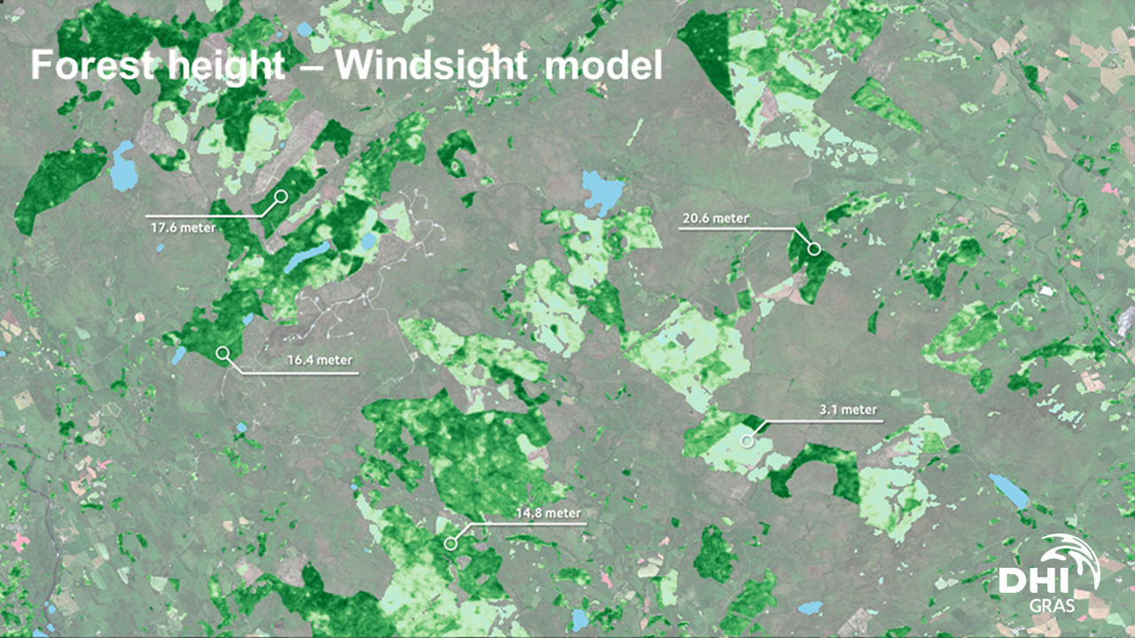
WindSight is a suite of novel EO-based products for characterization of the land surface roughness and topography anywhere in the world. Together with state-of-the-art flow modeling tools for wind energy planning and prospecting, WindSight can replace current procedures for land surface characterization, which are based on manual assessment, coarse global data sets, or costly airborne measurement campaigns.

DynaCrop API
Servicio
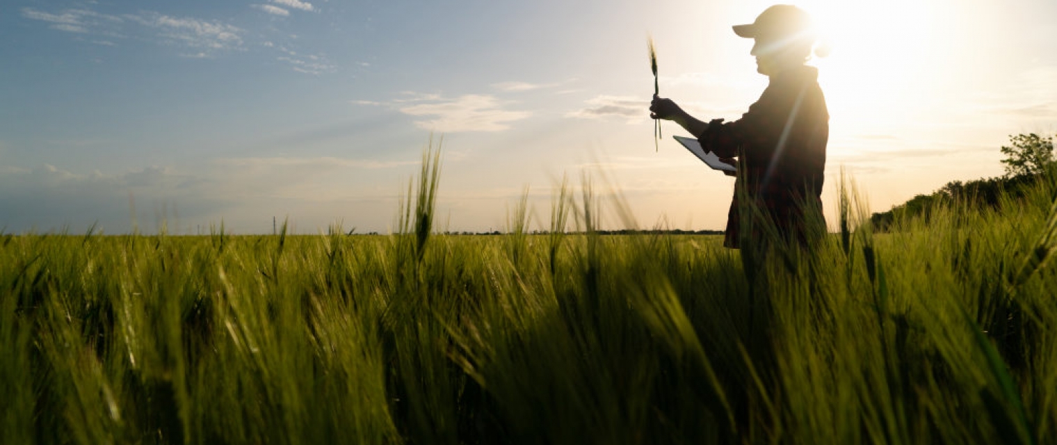
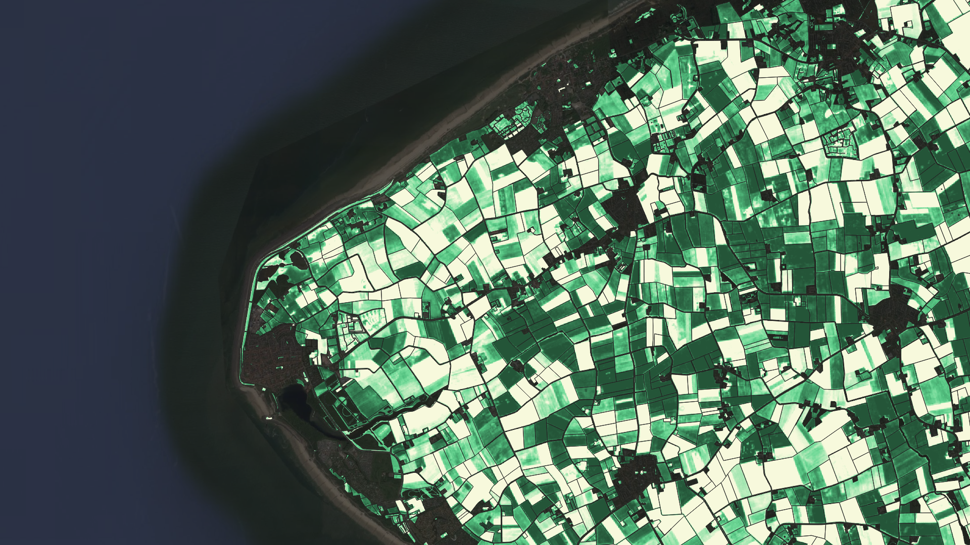
Get instant access to agriculture related information for any location in the world. Build your solution to instantly increase the value of your product and to open new revenue streams. Increase the field yields and reduce inputs to safe money of your customers. DynaCrop API provides ready-made agriculture products based on Sentinel 1 a 2 open satellite imagery.

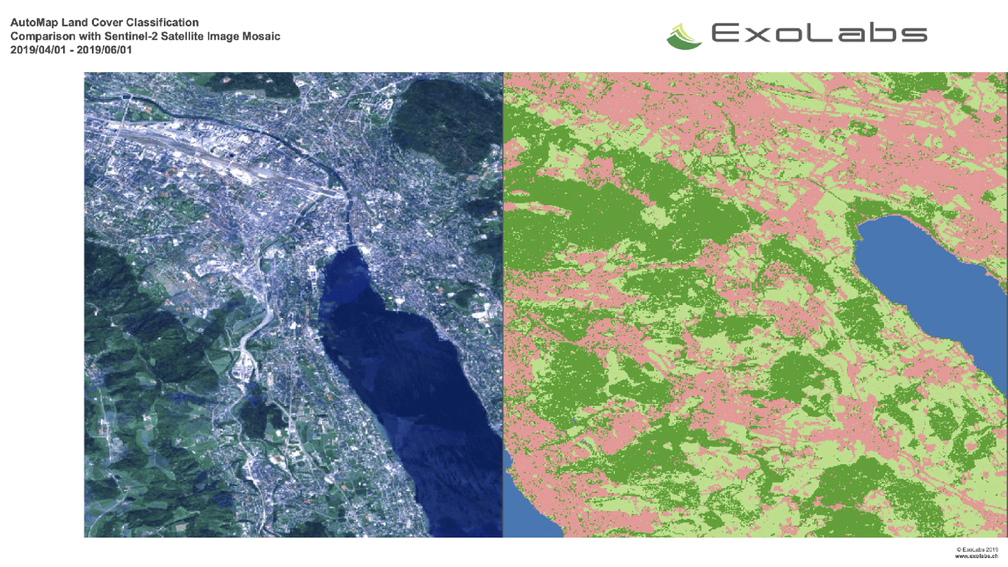
Land and Land Cover Analysis
Servicio
AutoMap is the easy way to harness the power of satellite images on the cloud.
Agriculture, Infrastructure, Land Ecosystems, Land use, Farming, Insurance & Finance, Local and regional planners

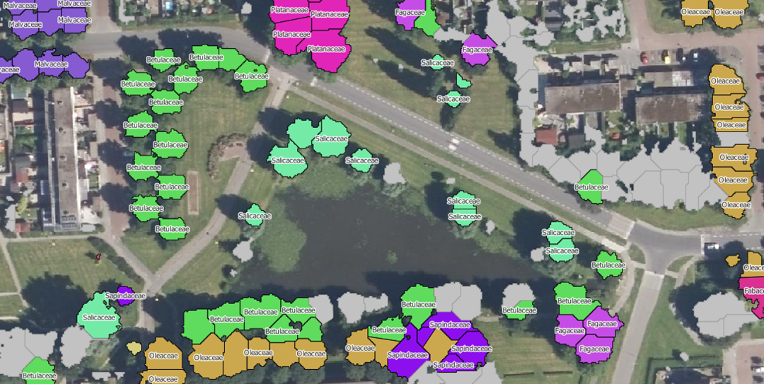
Monitoring trees
Servicio
NEO is monitoring trees using satellite data and deep learning methodologies. Basic information such as height, diameter and species of trees can be monitored with our service.
Forests, Assess Deforestation / Forest Degradation, Assess forest damage due to storms or insects, Monitor forest resources, Land use, Forestry, Forest policy, Forest policy makers, Logging industry, Wood industry

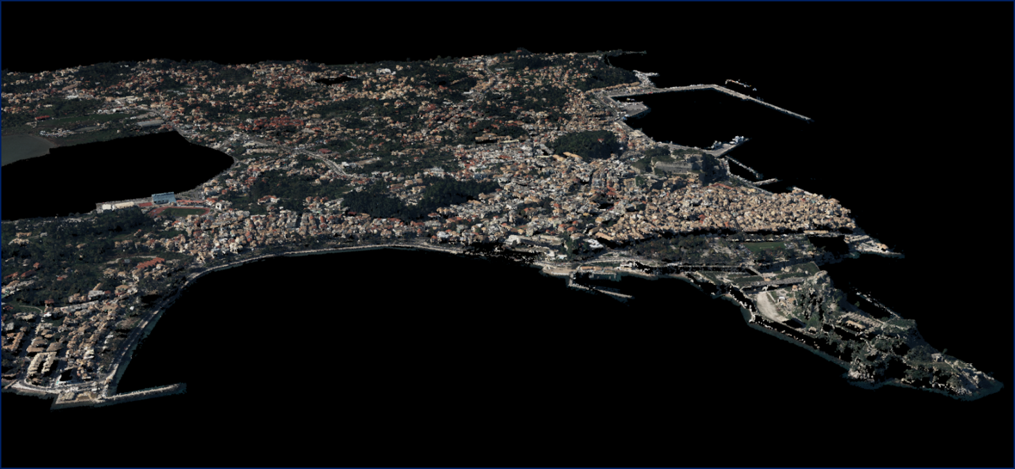
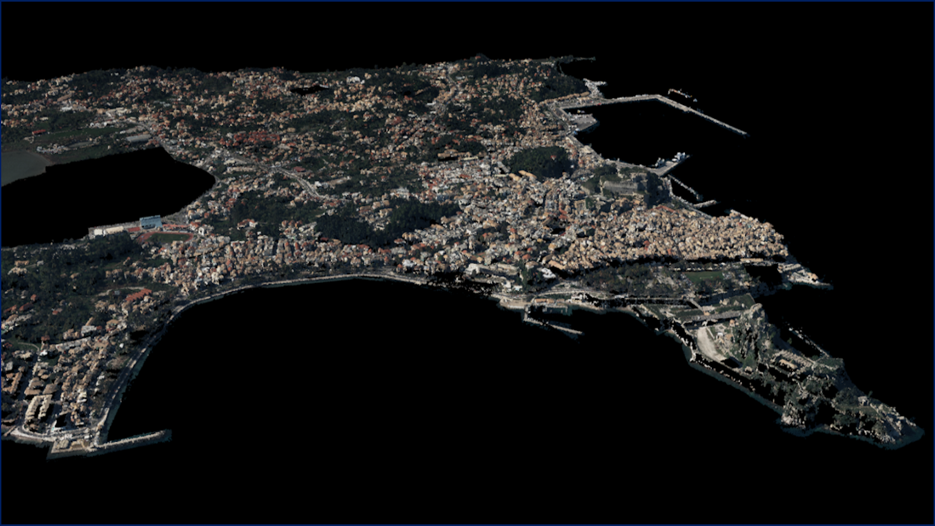
5D Multi-Purpose LIS (Land information System)
Servicio
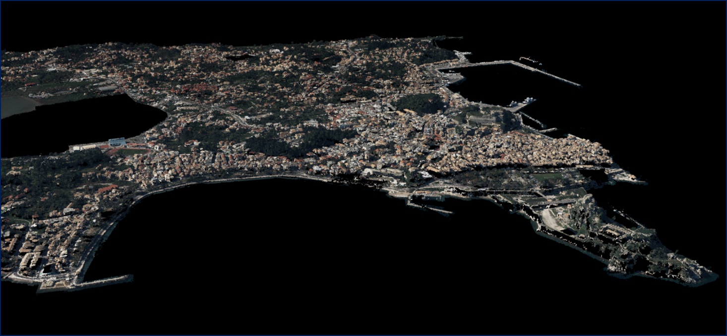
The complexity of modern urban environments has led to the introduction of 3D Land Information Systems (LISs), which tend to replace traditional 2D LIS architectures for the purposes of urban planning and regeneration, land administration, real estate management and civil development.
Agriculture, Infrastructure, Coastal, Floods, Forests, Inland Water, Land Ecosystems, Land use, Landslides, Sea-ice and icebergs, Snow & Ice, Topography, Urban Areas, Security, Assess Environmental impact of farming, Monitor crops, Assess Deforestation / Forest Degradation, Assess environmental impact of forestry, Assess and monitor water bodies , Monitor land ecosystems and biodiversity, Monitor land cover and detect change , Baseline mapping , Map line of sight visibility (land surface), Asset infrastructure monitoring, Monitor coastal ecosystem, Monitor the coast line, Map and assess flooding, Detect and monitor wildfires, Forecast and assess landslides, Monitor sensitive risk areas, Forecasting epidemics and diseases, land administration, land use studies, monitoring of settlements, urban atlas, urban development, smart cities, rural areas, building inventory, building footprint, spatial planning, land cover, Solar energy, Construction, Forestry, Real-estate management, Transportation

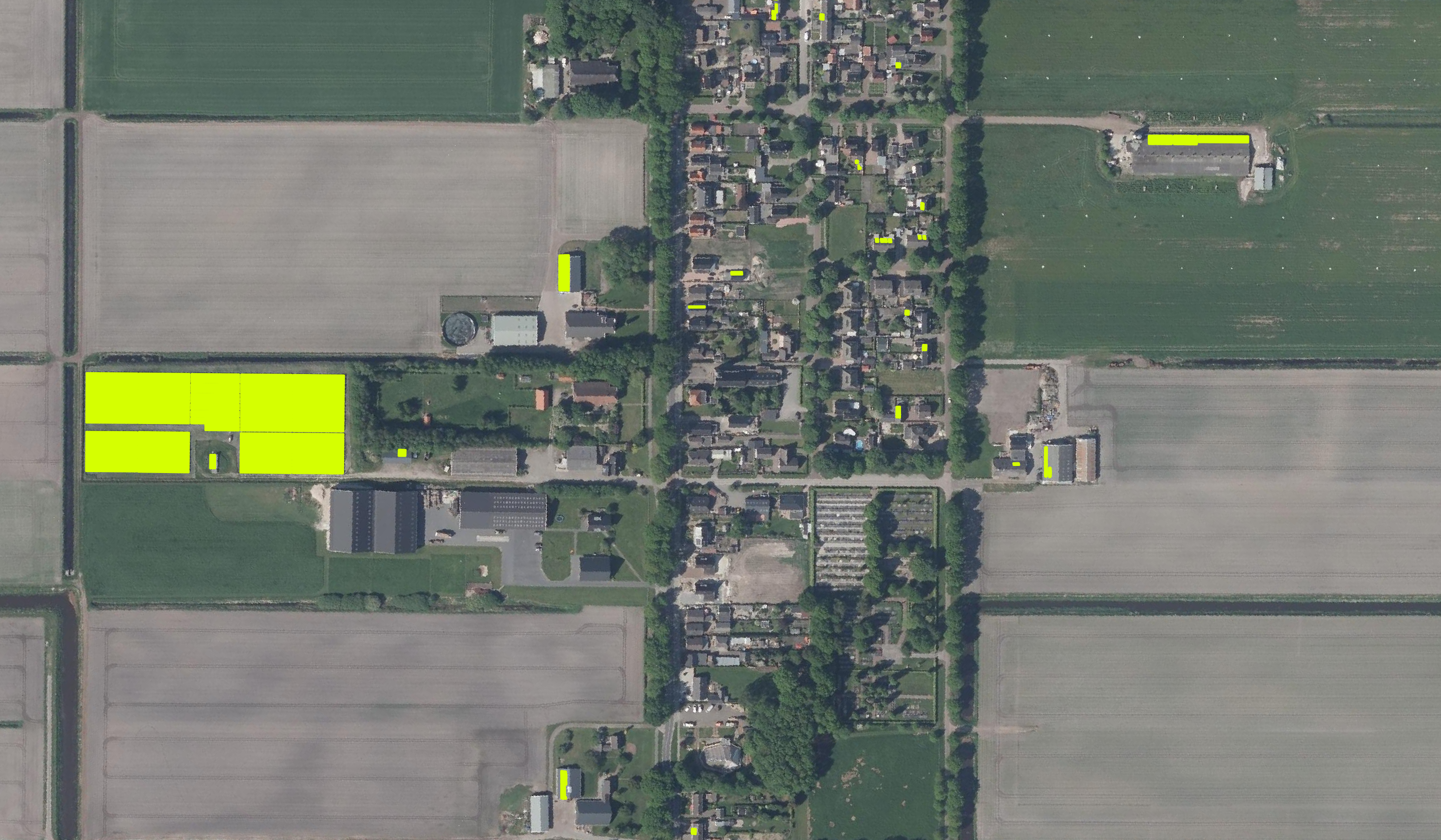
Solar panel service
Servicio
Monitoring the presence of solar panels throughout the Netherlands.
Infrastructure, Map and monitor solar energy (solar farms), solar energy, solar radiation, Monitor urban areas, Urban Areas, urban development, urban settlement, urban atlas, urban areas, smart cities, individual houses inventory, Alternative Energy, Regional planners, Solar energy, Environment, Real-estate management

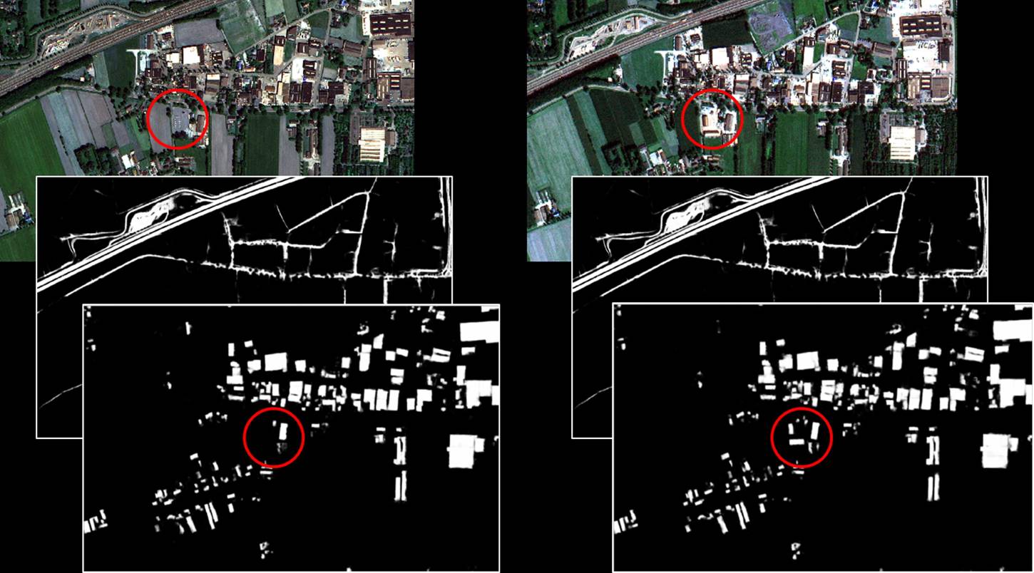
Mutation Signalling on agriculture parcels in the Netherlands
Servicio
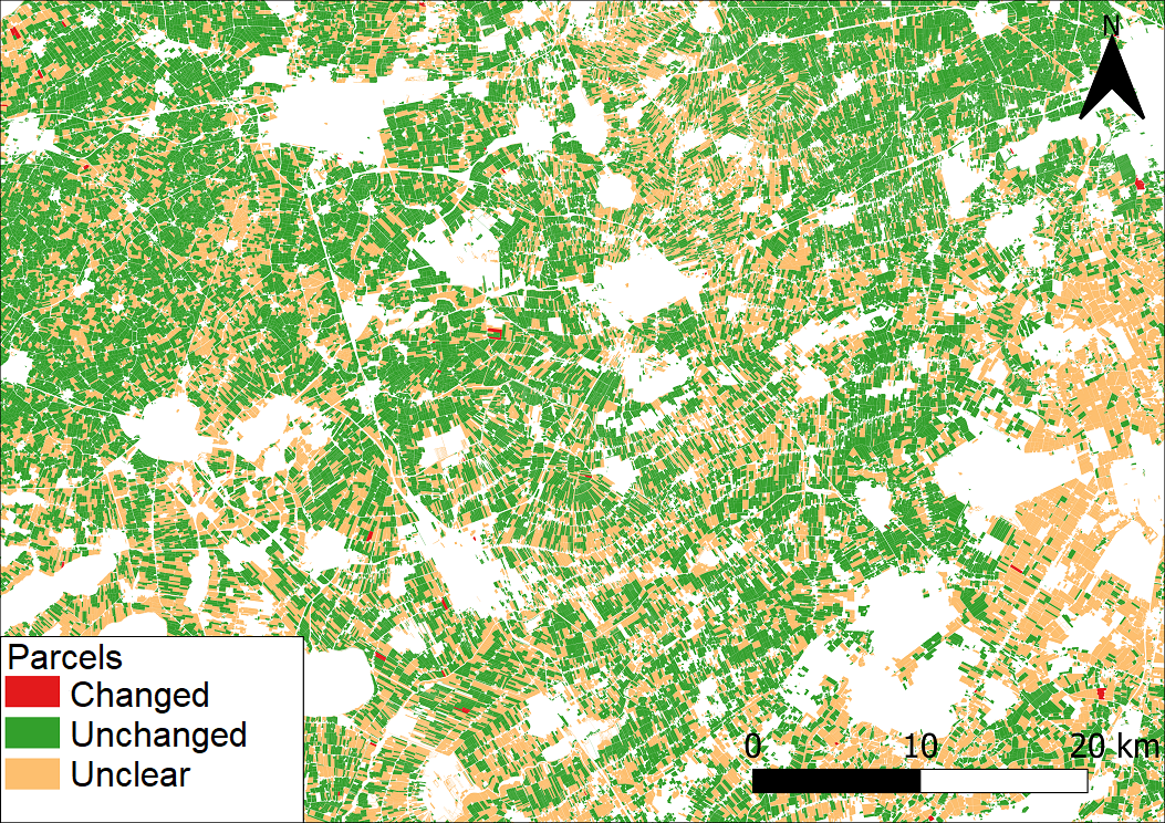
Agriculture parcel boundaries change continuously through time. Monitoring, based on satellite imagery in combination with artificial intelligence, aims to detect changes in the boundaries of the parcels.
Agriculture, crop acreage, Monitor crops, crop types extent, Land use, Assess land value, ownership, type, use, Measure land use statistics, Agricultural commodities, Agriculture and rural development policy, Farming, Real-estate management, Local and regional planners, City authorities, Planners, Regional governments, Town authorities, Agriculture and rural policy makers

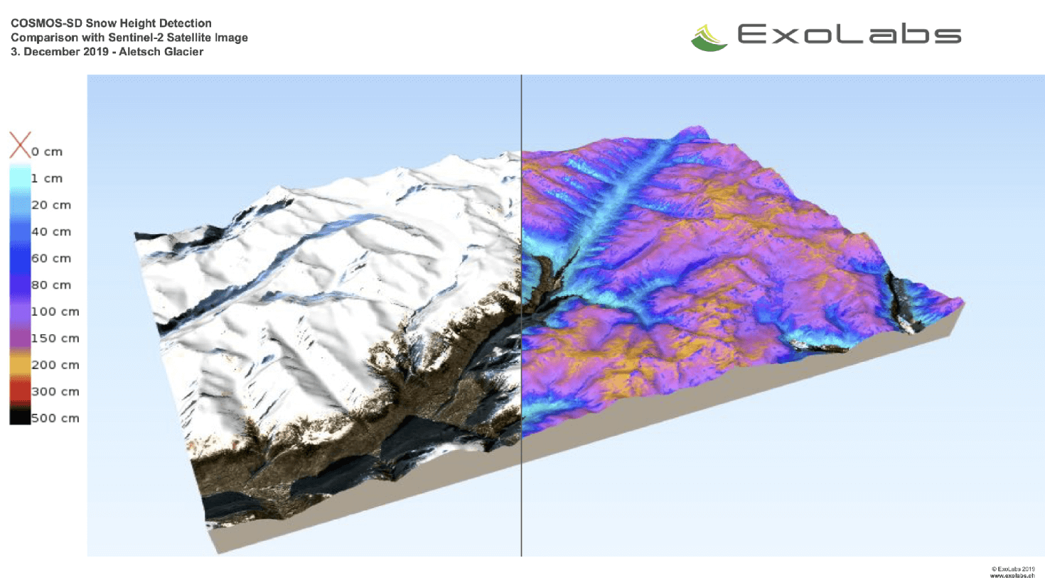
Snow Monitoring
Servicio
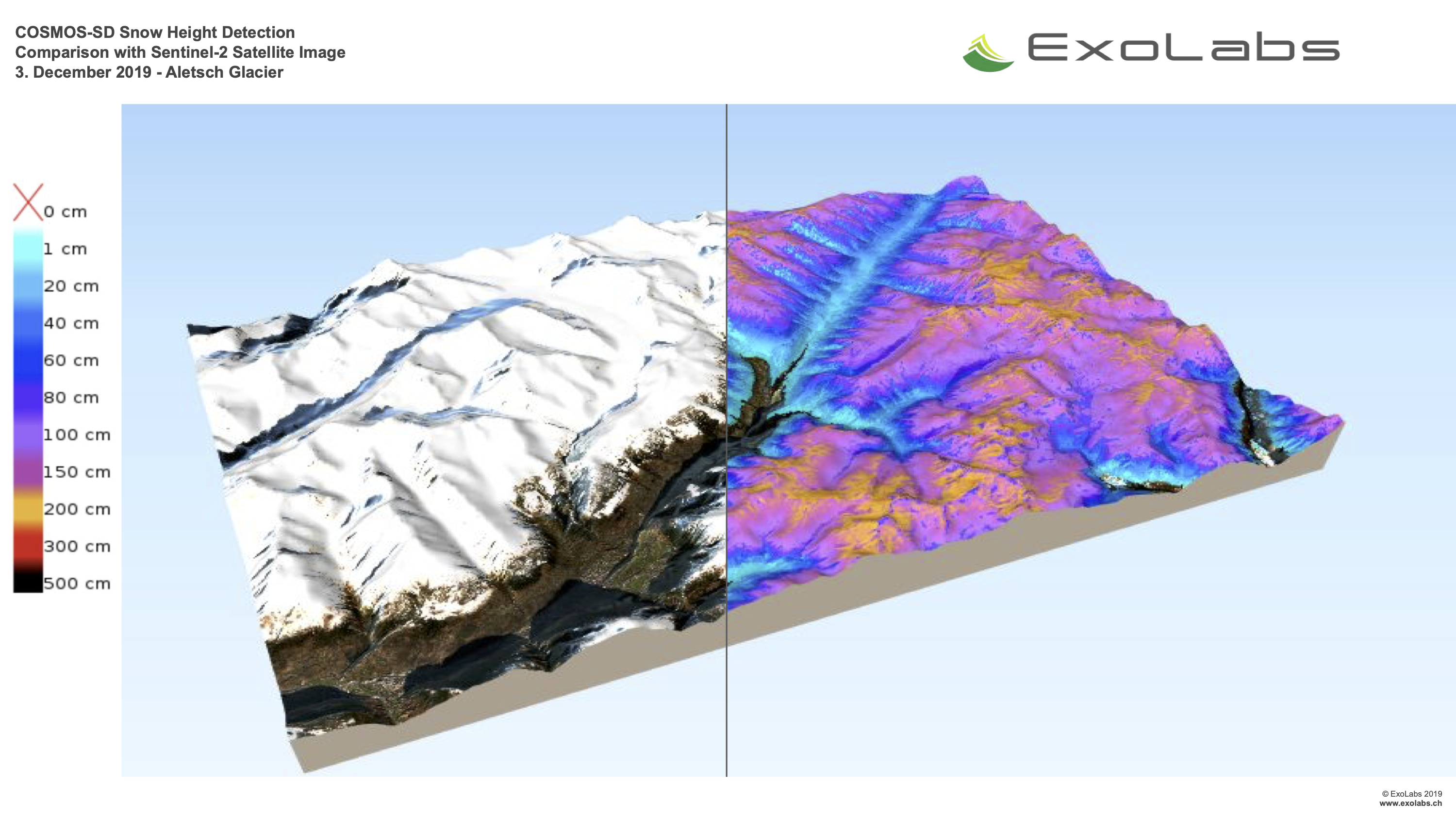
With COSMOS (Continous Snow Monitoring System) we provide near-realtime global snow cover maps in different spatial resolutions.
climate change, Assess ground water and run-off, Monitor snow cover, snow cover, Environment, Hydroelectric, Ski, Tourism

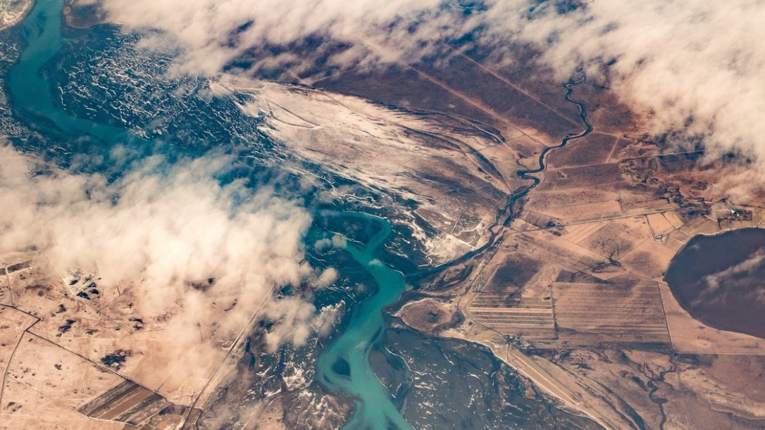
Earth Science Data Access and PrOcessing Service for Black Sea (ESPOSS)
Servicio
EPSOSS takes advantage of the high investments made by the European countries and their international partners in ES data collection and dissemination systems (e.g. satellites, in-situ networks, ICT frameworks) and builds on top of those systems an added value application (geoportal) for the scientific community and the Black Sea relevant decision makers on environmental issues.
Coastal, Marine ecosystem, algal bloom, ocean colour compositte, sea surface temperature, turbidity, chlorophyll-a concentration, Maritime, Local and regional planners

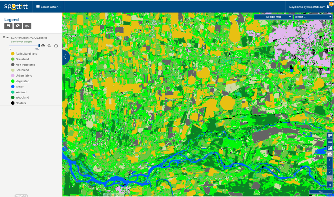
Land Cover Analysis
Servicio
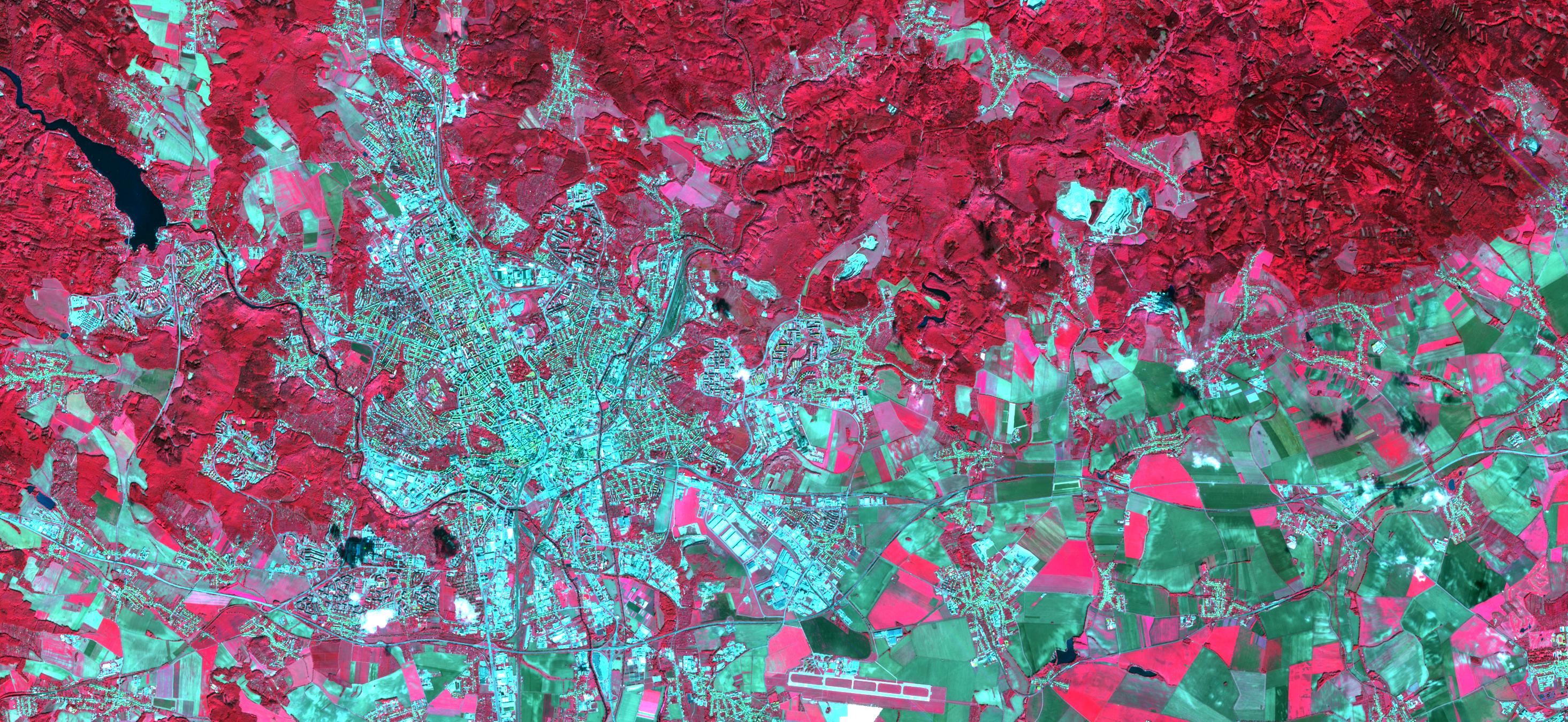
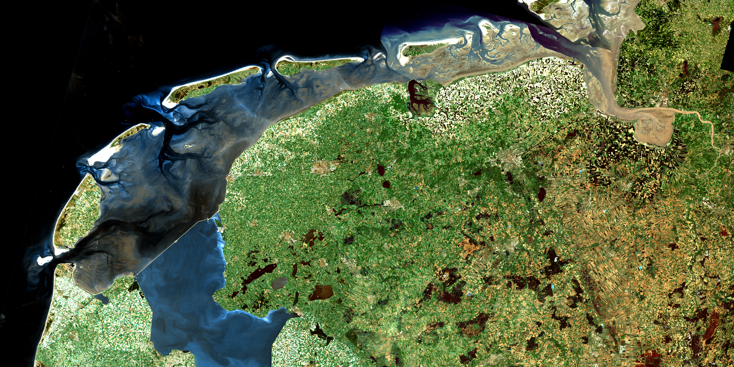
10m resolution digital land cover anlaysis with 13 different land cover classes. Derived automatically from free Sentinel 2 imagery which provides global coverage and a 5 day refresh cycle.
Floods, Inland Water, Land Ecosystems, Geology, Forests, Infrastructure, Land use, Urban Areas, Fires, Earthquakes, Construction, Emergency Services, Environmental, Pollution & Climate, Farming, Utilities (water, electricity, waste) , Oil and Gas, Minerals and Mining

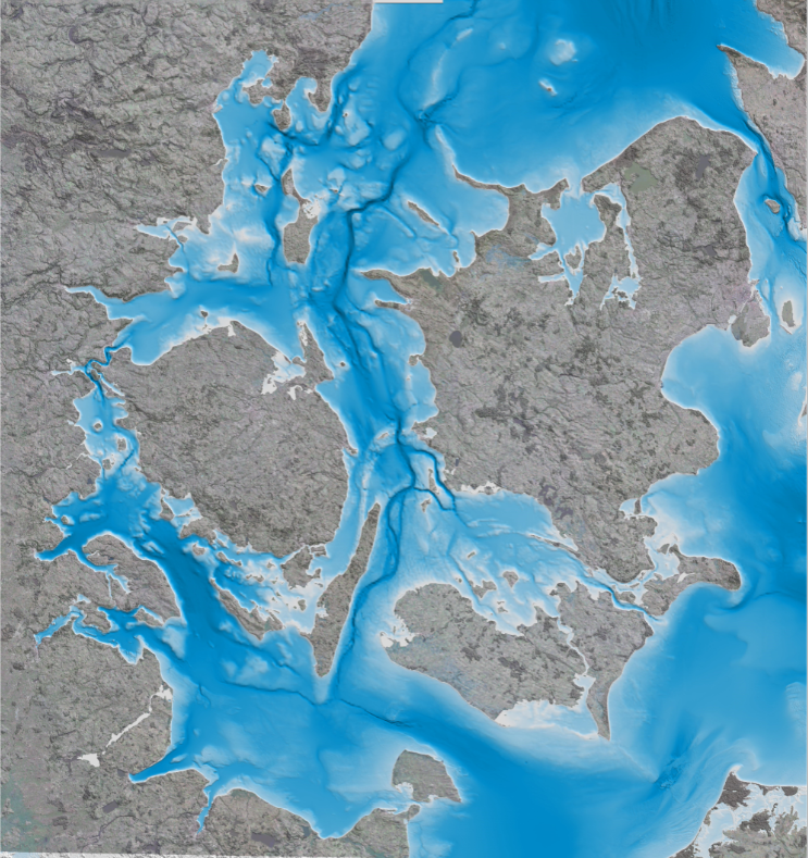
Satellite-derived Bathymetry
Servicio
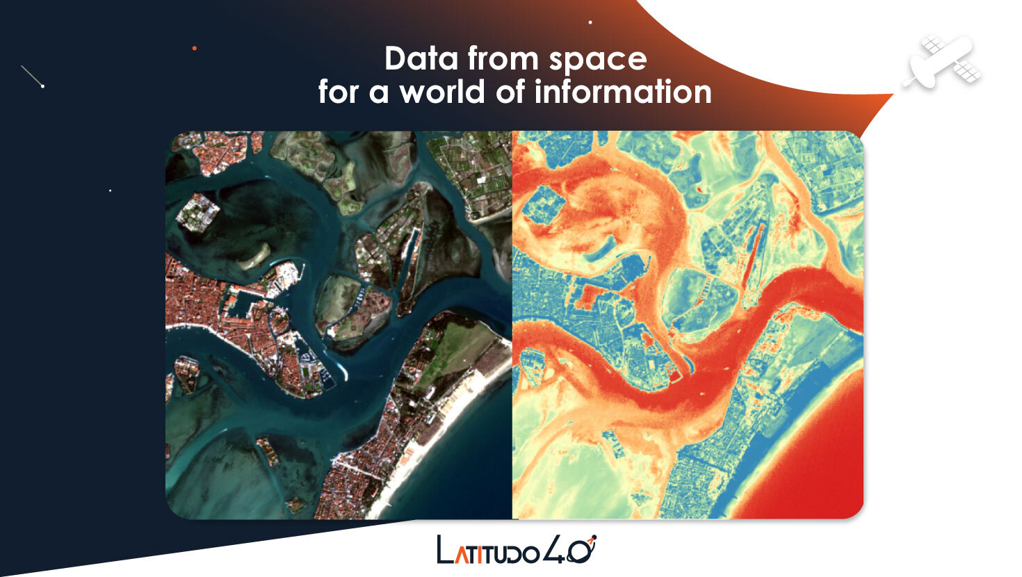
Satellite-derived bathymetry is a state-of-the-art method for detailed mapping of shallow coastal areas, where unlike field-based surveys this solution has a quick turnaround, no health and safety issues and requires no permits. Since it is based on satellite information it is also ideal for remote areas and harsh environments. The method is able to map water depth down to 8 m at high and low tide in 2m, 10m and 90m resolution, depending on your project requirements.
Coastal, Fisheries, Map water depth or charting, Oil and Gas, Maritime

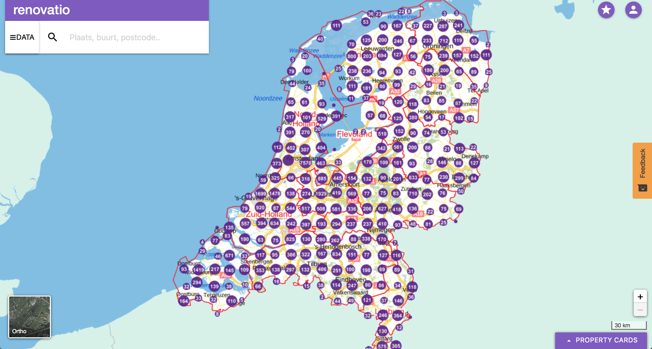
Renovatio
Servicio
A data driven decision support system for real estate.
Land use, Topography, Urban Areas, Land Ecosystems, Environmental, Pollution & Climate, Local and regional planners


