Succès
EO-based pollution-health risks profiling in the urban environment

Profil
According to UN's “World Urbanization Prospects: 2014 Revision” the continuing urbanization is projected to add 2.5 billion of urban population by 2050, and the world population living in cities to increase to 66%. Moreover, according to the latest World Health Organization (WHO, 2016) Ambient Air Pollution Global Assessment, only one person in ten lives in a city that complies with the WHO Air Quality (AQ) guidelines. Thus, open access of high quality AQ information to stakeholders in a timely and comprehensible manner to foster informed decision making is imperative.

Proposition
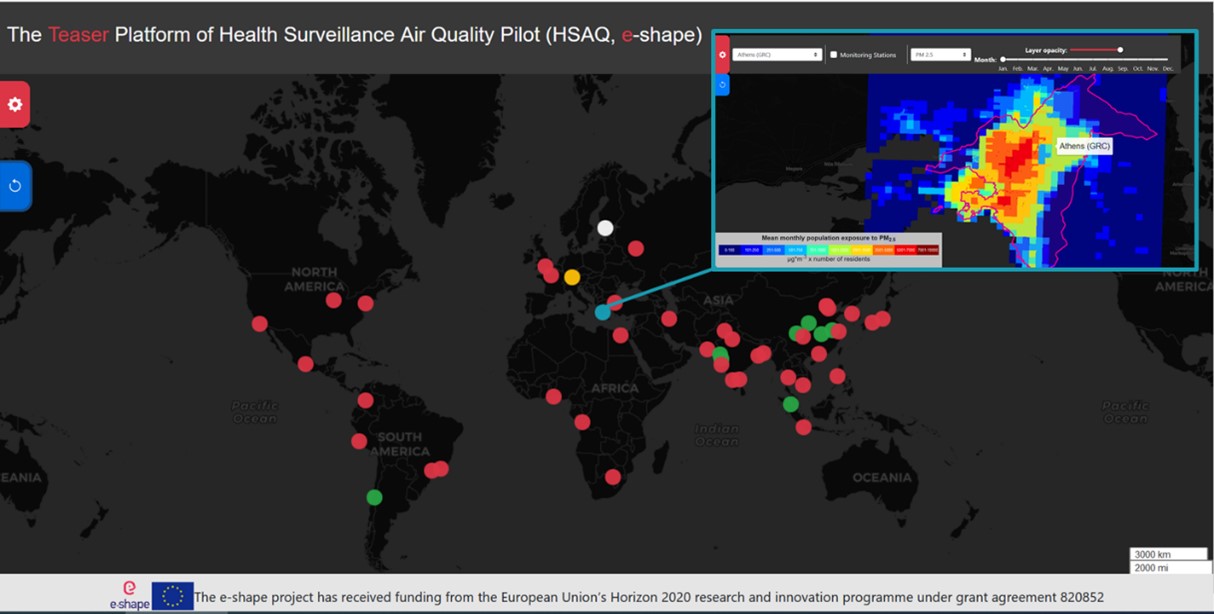
The pilot follows the GEOSS Data Sharing and Management Principles and their inputs rely on: Copernicus free and open data policy, the data policies of the World Data Center for Remote Sensing of the Atmosphere (ICSU), ESA and EUMETSAT, EU/national projects compliant to open EO data policies. Through the exploitation and inter-comparison of EO platforms for AQ monitoring, AQ information will be integrated into the proposed solution, providing citizens and urban communities with exhaustive information.
Avantages
- Improved Air Quality information, from air pollution data and land use/health/socio-economic features of cities, for use in public health assessment and urban planning
- Strengthened decision making
- More accurate and suitable pollution mitigation scenarios and provision of alerts


