Remote sensing / GIS
DynaCrop API
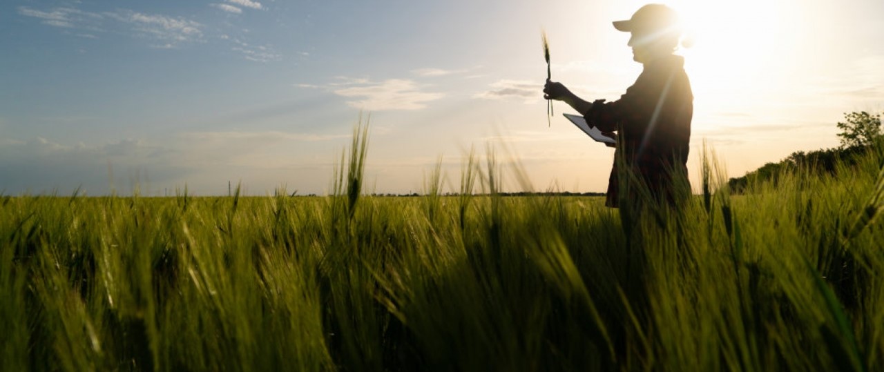
Get instant access to agriculture related information for any location in the world. Build your solution to instantly increase the value of your product and to open new revenue streams. Increase the field yields and reduce inputs to safe money of your customers. DynaCrop API provides ready-made agriculture products based on Sentinel 1 a 2 open satellite imagery.


Description du produit
Crop monitoring
Use different indices such as NDVI, MSAVI and EVI or biophysical parameters such as LAI or fAPAR to show current and historical dynamics of crop growth to your customers.
Field scouting
Let your users prioritize field visits based on satellite field scouting. We identify anomalies in the crop growth and allow farmers to visit problematic places sooner than they become a real threat.
Zoning for variable applications
Finetune fertilizing and seeding of your customers with the satellite prescription maps based on long term or short term analysis of the field performance. Apply dynamic variations in the strategies and indices used for each specific use case.
Soil moisture
Water availability is becoming a crucial limiting factor for crop yields. Our high resolution soil moisture maps allow farmers to recognise underlying patterns of water distribution in their fields.
Soil organic carbon
Soil organic carbon is an important indicator of soil health and it plays a key role in the soil management. Help your farmers to make more informed decisions based on the regular satellite monitoring.
Avantages
Benefits description
- Increase productivity of your customers by 15-20%
- Increase value of your service, create a new sales channel
- Easy and fast integration, multiple format output, global coveradge
Lieu de service
Globaly
Comparaison de services
prestations de service
Contenu connexe