Remote sensing / GIS
Mutation Signalling on agriculture parcels in the Netherlands
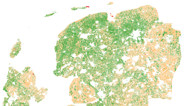
Agriculture parcel boundaries change continuously through time. Monitoring, based on satellite imagery in combination with artificial intelligence, aims to detect changes in the boundaries of the parcels.
Agriculture; crop acreage; Monitor crops; crop types extent; Land use; Assess land value, ownership, type, use
Opis produktu
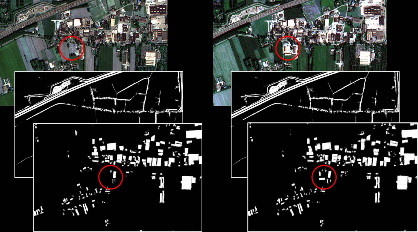
NEO signals changes to agriculture parcels. Monitoring, based on satellite imagery in combination with artificial intelligence, aims to detect changes in the boundaries of the parcels. The service saves time and money because, based on the mutation signalling, parcels can be looked at more specifically to determine the new parcel boundaries. This supports the process of keeping the national LPIS (Land Parcel Identification System) registry up to date. The service that NEO provides is unique: it is the first time that mutation signalling based on earth observation is performed automatically on this scale. In this way the 500.000 parcels in the Netherlands are monitored. Open data from the national satellite data portal in the Netherlands is used.
Korzyści
The service supports the process of keeping the LPIS registry up to date in an efficient manner.
- Saves money
- Saves time
- Up-to-date
- Large scale
- Consistent
- Supports agricultural monitoring and precision farming
Miejsce obsługi
Currently the Netherlands

