Success story
EOs Adding Value To Historical Water Availability And Quality Information Services
Coastal; Marine ecosystem; Meteorology
Profile
The Geologicla Survey of Sweden, SGU, is the expert agency for issues relating to bedrock, soil and groundwater in Sweden. The agency aims to meet society's need for geological information. SGU is also responsible for the Good-Quality Groundwater objective, which also involves reducing the use of natural gravel. The Swedish Agency for Marine and Water Management, SwAM, is a government agency that works for flourishing seas, lakes and streams. SwAM is responsible for managing the use and preventing the overuse of Sweden's marine and freshwater environments, taking into consideration the requirements of the ecosystem and people, both now and in the future.
Benefits
- Get access to a set of hydrologically relevant EO datasets, which after post-processing can be used for water resources management applications
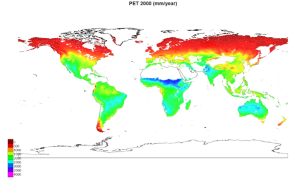
- Contribute to an improved set of HYPE hydrological model output data: River discharge, Water balance (precipitation, evapotranspiration, runoff), and total and key water storages (snow, soil, lakes, rivers)
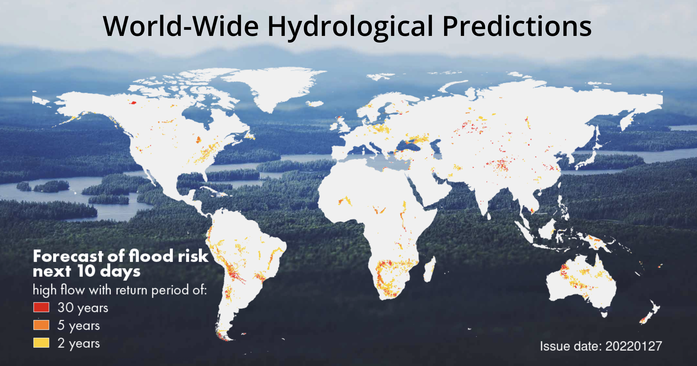
- Improved water availability and quality information will be published at the SMHI dissemination web-based platform (http://hypeweb.smhi.se)
- Enable and motivate water-related users by providing accurate and reliable long historical records of hydro-climatic information over Sweden and the globe
