Success story
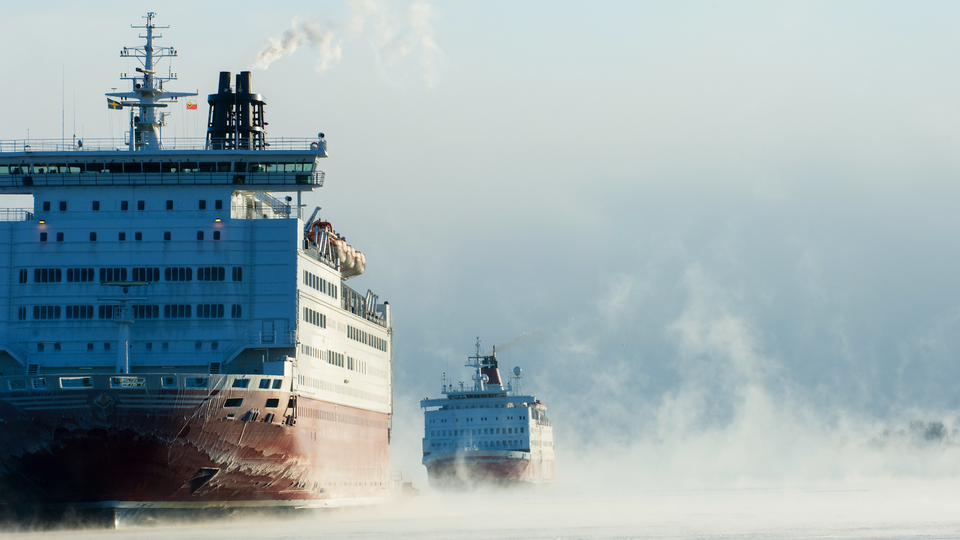
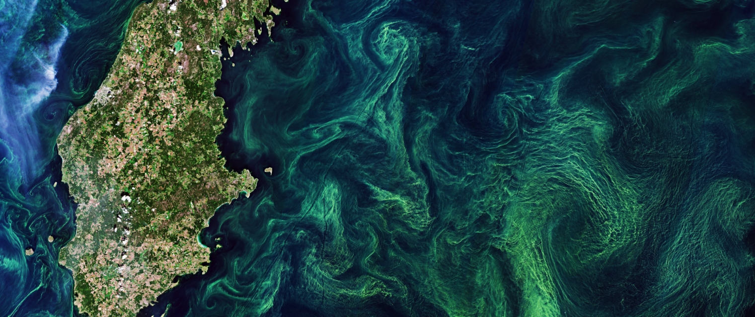
Offshore Winds And Resources
Metocean; Coastal; Meteorology; Maritime; Utilities (water, electricity, waste) ; Oil and Gas
")

Profile
Wind farmers Utilities companies Wind turbine manufactures Consultancies Researchers
Benefits
- Users can browse DTU's archive with 500,000+ wind maps over the European seas and other selected areas with importance for offshore wind energy planning.
- Users can download wind fields over an area of interest (e.g a future offshore wind farm site) and investigate the wind flow in detail.
- Users can view and download different wind atlases based on EO data or model simulations and use there for their own analyses and presentations.

Services comparison
services
Related Content
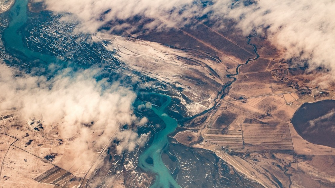
Satellite-derived Bathymetry 
Coastal, Fisheries, Map water depth or charting, Oil and Gas, Maritime
A cost-effective method for accurate water depth mapping of the worlds shallow coastal areas based on high resolution satellite images. The method is globally applicable.
Added
Added
Earth Science Data Access and PrOcessing Service for Black Sea (ESPOSS) 
Coastal, Marine ecosystem, algal bloom, ocean colour compositte, sea surface temperature, turbidity, chlorophyll-a concentration, Maritime, Local and regional planners
EPSOSS takes advantage of the high investments made by the European countries and their international partners in ES data collection and dissemination systems (e.g. satellites, in-situ networks, ICT frameworks) and builds on top of those systems an added value application (geoportal) for the scientific community and the Black Sea relevant decision makers on environmental issues. ESPOSS offers: - Friendly interface - easy to use graphical user interface and intuitive workflows. - 10 000+ satellite derived data layers - the product portfolio includes: Sea surface temperature, chlorophyll concentration, diffuse attenuation coefficient, total suspended matter, etc. - Modern architecture - ESPOSS architecture design is driven by service-oriented architecture design principles, and use open standards from IETF, W3C, OASIS, ISO/TC 211, and OGC. - Open source based - ESPOSS GeoPortal is built completely with free and open source software. - Modular and scalable - the geoportal is based on a modular and scalable software architecture that enables an efficient deployment, control, and management of active services. - Network services - implements Open Geospatial Consortium (OGC) standards for data retrieval (WMS, WCS, WFS) and server-side processing (WPS). - Active community - fast growing international user community. - Powerful visualizations - effective data visualization methods, suitable for analysis of big volumes of multi-temporal data. - Server-side processing services - currently the service has interfaces for the following types of geospatial processing functions: buffer, clip, resample, profile and raster algebra.
Added
Added
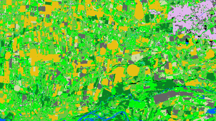
Land Cover Analysis 
Floods, Inland Water, Land Ecosystems, Geology, Forests, Infrastructure, Land use, Urban Areas, Fires, Earthquakes, Construction, Emergency Services, Environmental, Pollution & Climate, Farming, Utilities (water, electricity, waste) , Oil and Gas, Minerals and Mining
LCA stands for Land Cover Analysis and is used to provide an up to date, digital overview of what covers the surface of our earth split out into 10 key land cover classes. The LCA is often the first step in many environmental monitoring or site selection processes.
Added
Added
EO based phytoplankton biomass service 
Inland Water, Assess and monitor water bodies , Local and regional planners, Regional governments, City authorities, Environment, Utilities (water, electricity, waste) , Water plants, Coastal management agencies
Using knowledge about how certain substances, such as one of the main pigments of the phytoplankton (Chlorophyll a - Chl a) alter the colour of the water, these parameters can be derived from optial Earth Observation (EO) satellite sensors. Water Insight provides monitoring services of Chl a based on EO data which is validated with in situmeasurements. Also the maps of WFD phytoplankton biomass status classes are created, by application of the WFD tresholds on Chl a as a proxy for phytoplankton biomass. The maps are made available in a portal, which allows to follow the lakes in time, zoom and download maps and time series.
Added
Added