Mapping, Feature extraction, Monitoring
Earth Science Data Access and PrOcessing Service for Black Sea (ESPOSS)
EPSOSS takes advantage of the high investments made by the European countries and their international partners in ES data collection and dissemination systems (e.g. satellites, in-situ networks, ICT frameworks) and builds on top of those systems an added value application (geoportal) for the scientific community and the Black Sea relevant decision makers on environmental issues.
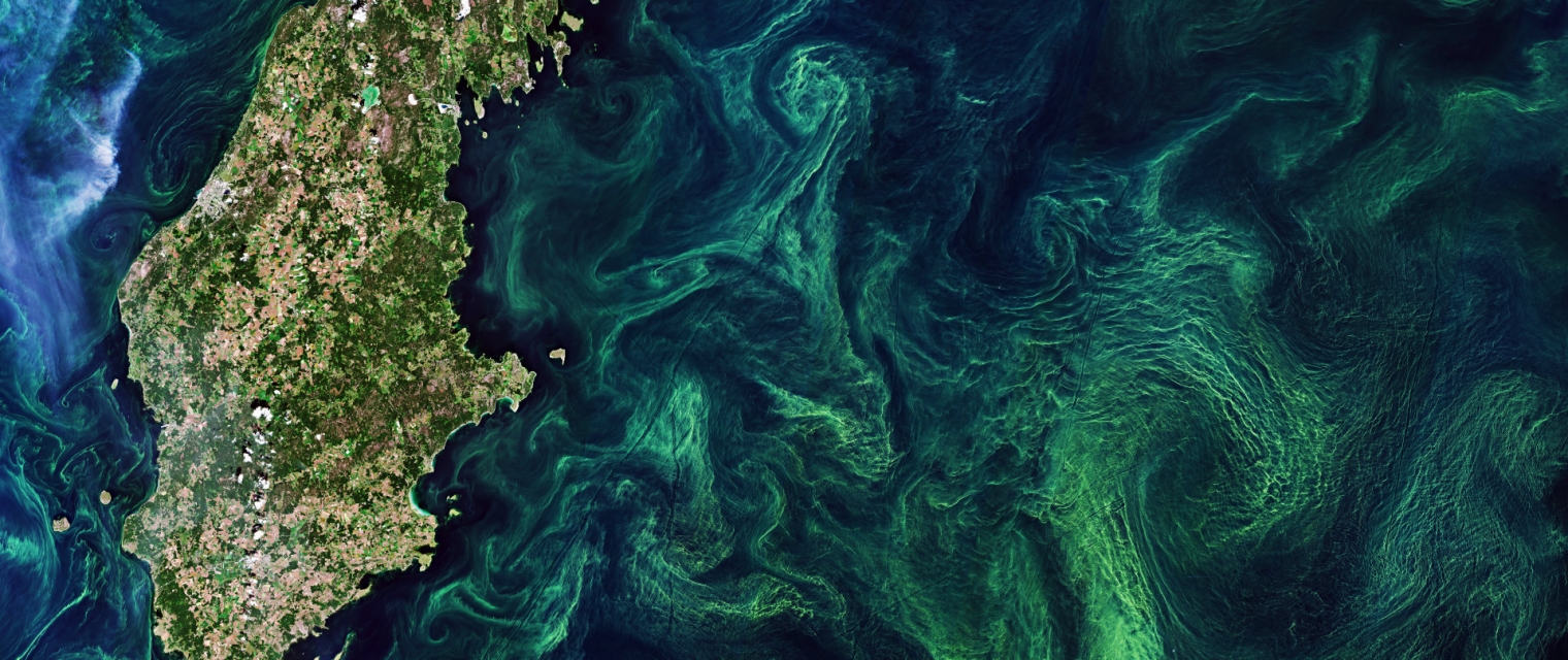
Coastal; Marine ecosystem; algal bloom; ocean colour compositte; sea surface temperature; turbidity


Product Description
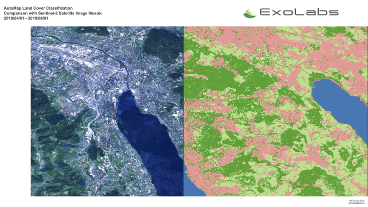
EPSOSS takes advantage of the high investments made by the European countries and their international partners in ES data collection and dissemination systems (e.g. satellites, in-situ networks, ICT frameworks) and builds on top of those systems an added value application (geoportal) for the scientific community and the Black Sea relevant decision makers on environmental issues. ESPOSS offers: - Friendly interface - easy to use graphical user interface and intuitive workflows. - 10 000+ satellite derived data layers - the product portfolio includes: Sea surface temperature, chlorophyll concentration, diffuse attenuation coefficient, total suspended matter, etc. - Modern architecture - ESPOSS architecture design is driven by service-oriented architecture design principles, and use open standards from IETF, W3C, OASIS, ISO/TC 211, and OGC. - Open source based - ESPOSS GeoPortal is built completely with free and open source software. - Modular and scalable - the geoportal is based on a modular and scalable software architecture that enables an efficient deployment, control, and management of active services. - Network services - implements Open Geospatial Consortium (OGC) standards for data retrieval (WMS, WCS, WFS) and server-side processing (WPS). - Active community - fast growing international user community. - Powerful visualizations - effective data visualization methods, suitable for analysis of big volumes of multi-temporal data. - Server-side processing services - currently the service has interfaces for the following types of geospatial processing functions: buffer, clip, resample, profile and raster algebra.
Benefits
Technical Specification
Service place
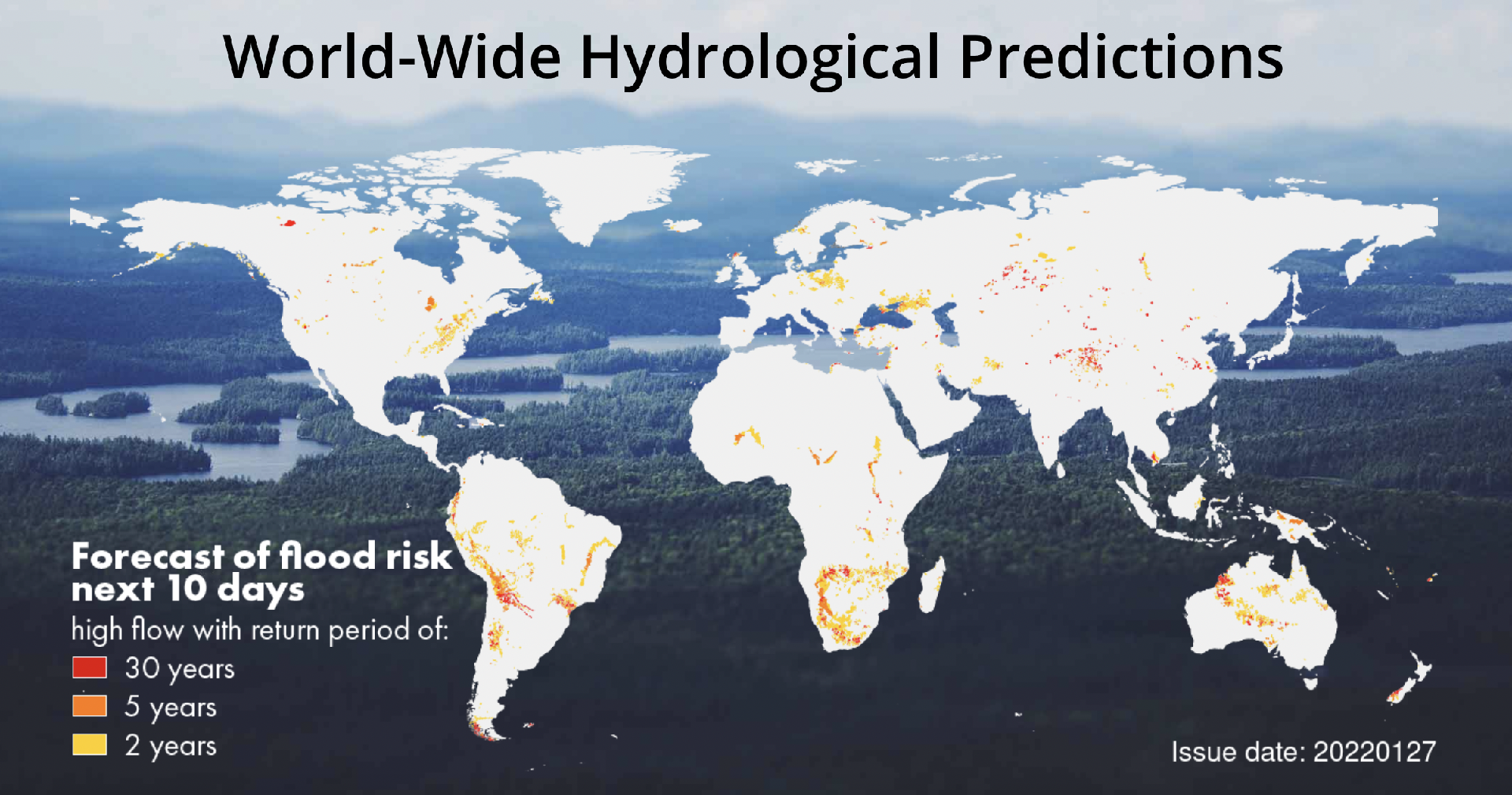
Black Sea
Services comparison
services
Related Content