Erfolgsgeschichte

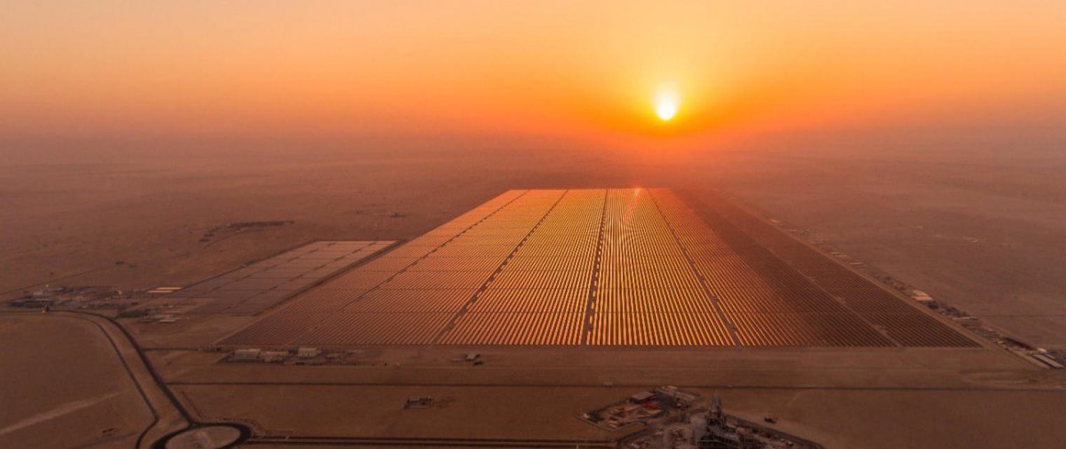
nextSENSE: solar energy nowcasting & short-term forecasting system

Climate; Forecasting sunlight exposure; Map and monitor solar energy (solar farms); Alternative Energy; Environmental, Pollution & Climate; Local and regional planners
Profil

The consequences of rapidly rising global temperatures will be far-reaching and devastating for humans and the environment unless urgent action is taken globally to curb emissions. To this direction, the United Nations and the European Commission (EC) have set as its main sustainable development goals by 2030 to contribute to climate actions and ensure good health and well-being by providing universal access to affordable, reliable and modern energy services.

Vorschlag

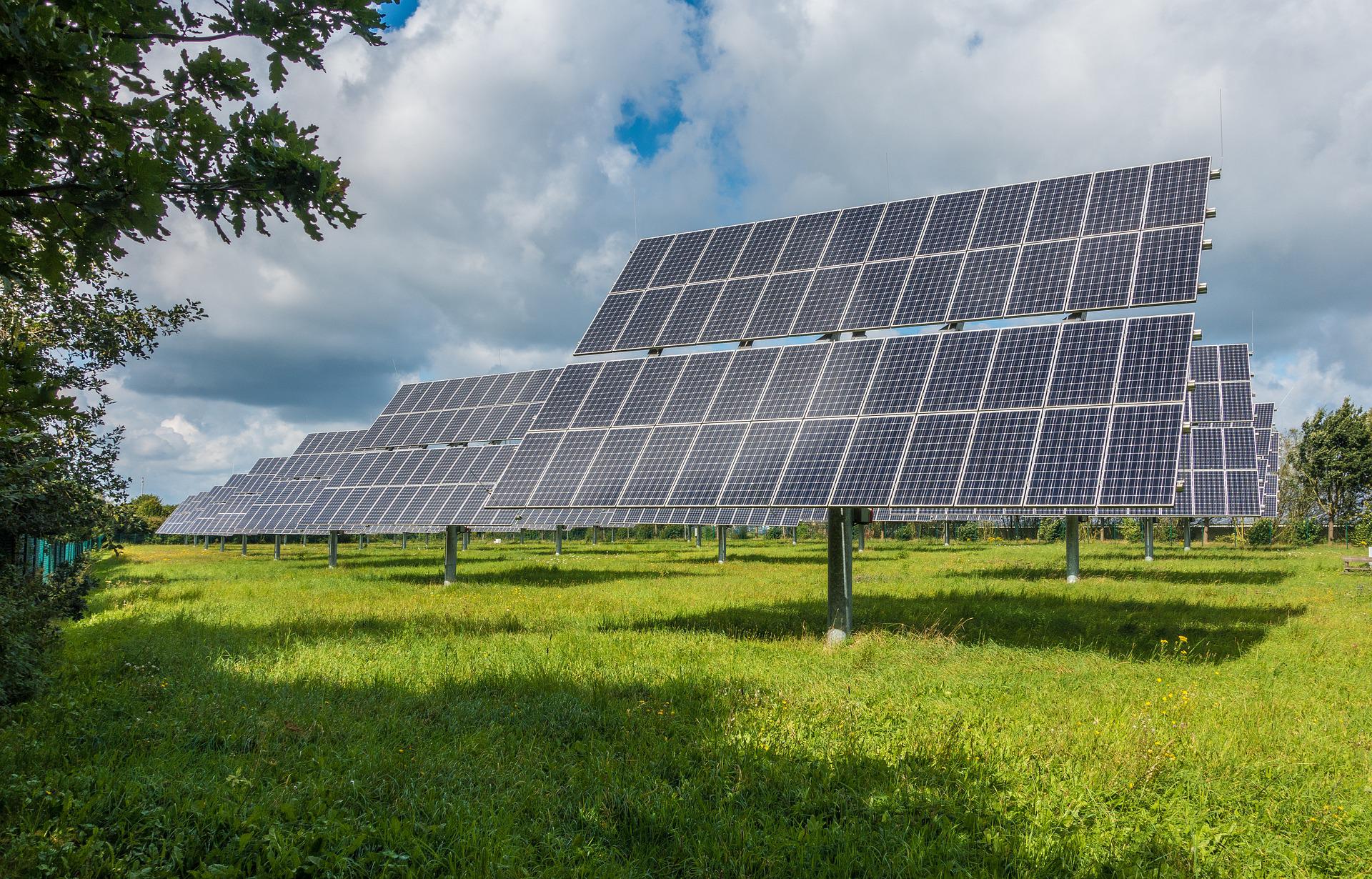
The increased use of the renewable energy sources brings to the fore the simultaneous vital need for improved Earth Observation (EO) solutions for the continuous monitor of solar energy potential and fulfil the increasing integration of solar farms into the electricity grids, the load exchanges, as well as the efficient electricity transmission and distribution. Therefore, through joint solar energy implementation funded projects, the EC's renewable energy policy aims to set up a low carbon environment with relevant services and support by existing and new EO techniques dealing with accurate, nowcast, short-term (STF) and long-term forecast estimations of solar energy.
Leistungen

  • Improved available innovation instruments (Geo-Cradle and CAMS)
  • Upscaling of existing techniques to serve a large variety of users
  • Showcasing benefits of the renewable energy sources
  • Provision of updated and consistent data for the solar energy market and SDG indicators
Produkte vergleichen

0 Produkte hinzugefügt

Vergleichen Sie

Vergleich der Dienste

Dienstleistungen

Verwandte Inhalte

Solar panel service
Infrastructure, Map and monitor solar energy (solar farms), solar energy, solar radiation, Monitor urban areas, Urban Areas, urban development, urban settlement, urban atlas, urban areas, smart cities, individual houses inventory, Alternative Energy, Regional planners, Solar energy, Environment, Real-estate management
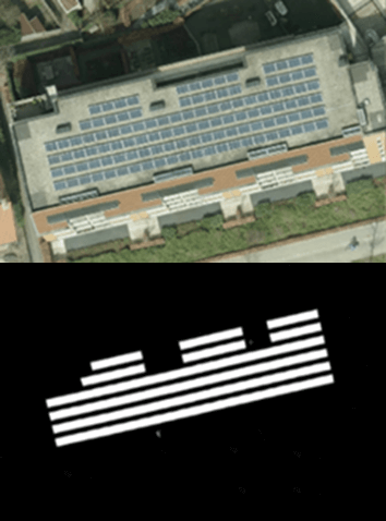
NEO monitors solar panels throughout the Netherlands using deep learning methods. Solar panels are detected using various resolutions of satellite and aerial imagery. The panels are digitalized by the algorithm and related to 3D-roofs based on the AHN (Dutch national height model) to calculate zenith and azimuth angles. This data, combined with data such as solar power, allows NEO to estimate the power output for each object. Solar panels are also provided with parcel and address information and statistical reports, so customers can easily apply the data and relate it to internal registrations.
Hinzugefügt
Hinzugefügt
EO based phytoplankton biomass service
Inland Water, Assess and monitor water bodies   , Local and regional planners, Regional governments, City authorities, Environment, Utilities (water, electricity, waste) , Water plants, Coastal management agencies
Using knowledge about how certain substances, such as one of the main pigments of the phytoplankton (Chlorophyll a - Chl a) alter the colour of the water, these parameters can be derived from optial Earth Observation (EO) satellite sensors. Water Insight provides monitoring services of Chl a based on EO data which is validated with in situmeasurements. Also the maps of WFD phytoplankton biomass status classes are created, by application of the WFD tresholds on Chl a as a proxy for phytoplankton biomass. The maps are made available in a portal, which allows to follow the lakes in time, zoom and download maps and time series.
Hinzugefügt
Hinzugefügt
Land Cover Analysis
Floods, Inland Water, Land Ecosystems, Geology, Forests, Infrastructure, Land use, Urban Areas, Fires, Earthquakes, Construction, Emergency Services, Environmental, Pollution & Climate, Farming, Utilities (water, electricity, waste) , Oil and Gas, Minerals and Mining
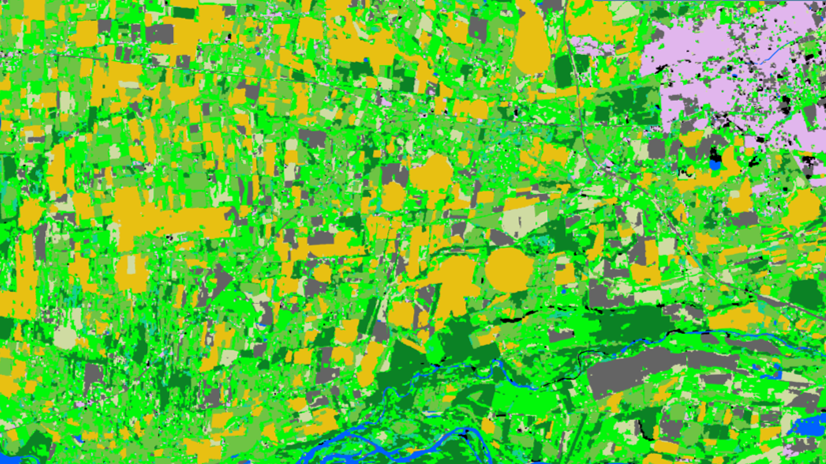
LCA stands for Land Cover Analysis and is used to provide an up to date, digital overview of what covers the surface of our earth split out into 10 key land cover classes. The LCA is often the first step in many environmental monitoring or site selection processes.
Hinzugefügt
Hinzugefügt
Sargassum Monitoring- SAMTool service
Environmental, Pollution & Climate, Environment, Regional governments, Local and regional planners, Travel, Tourism and Leisure
Detection and sargassum influxes identification at their earliest stage using a synergy of satellite sensors, combined with drift modelling
Hinzugefügt
Hinzugefügt