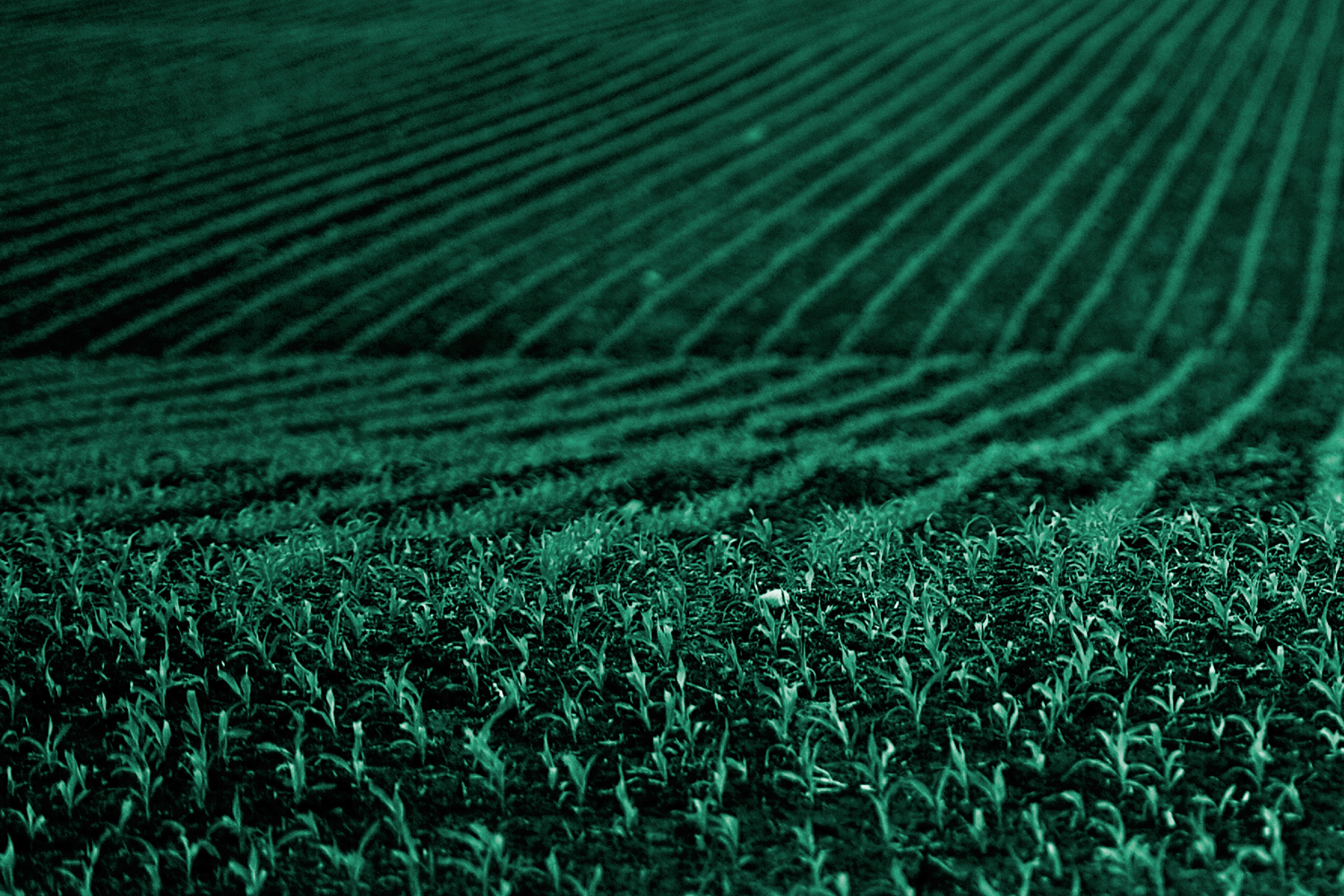
EO-based DSS for growers
Integrated free and open data from the Earth Observation into the decision support system (DSS) for growers around the world to improve daily decision making.
Agriculture; Farming


Descripción del producto
Integrated free and open data from the Earth Observation into the decision support system (DSS) for growers around the world to improve daily decision making.
Beneficios
Benefits description
- Improved and well-informed decision-making for growers
- Improved and more sustainable management of vineyards, orchards, and fruit production
- Easier adjustment to regulation compliance
- Increased production
- Better climate change adapation
Modelo de pago
Subscription
Precio a partir de
—
Lugar de servicio
Service place description
Bahnhofstr. 120 D-82269 Geltendorf Germany,
48.108725500000006,11.036872242793113
Comparación de servicios
servicios
contenido relacionado

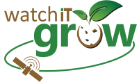
WatchITgrow 
Agriculture, Land use, Farming
WatchITgrow is an online platform to support growers to monitor arable crops and vegetables in view of increasing yields, both qualitatively and quantitatively. WatchITgrow uses various types of data starting with satellite data combined with e.g. weather data, soil data, IoT data and field data provided by the grower. These data will be combined using new technologies such as big data analytics and machine learning to provide growers with more timely and personalized advice.
Adicional
Adicional
GEOGLAM service
Agriculture, Farming
GEOGLAM improves the current agricultural monitoring with operational processing and data analysis.
Adicional
Adicional
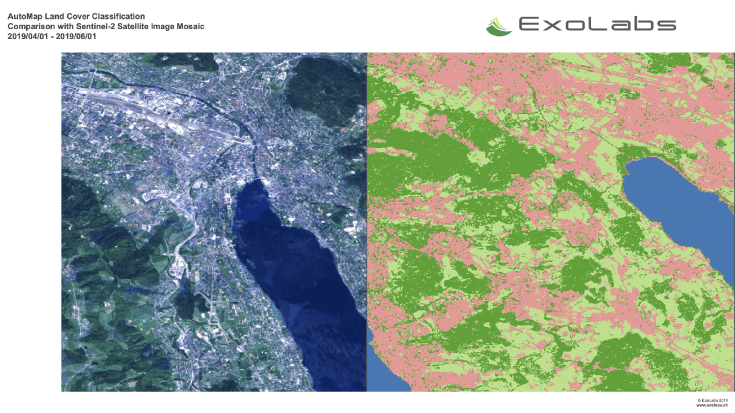
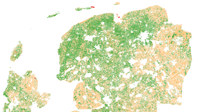
Land and Land Cover Analysis 
Agriculture, Infrastructure, Land Ecosystems, Land use, Farming, Insurance & Finance, Local and regional planners
With AutoMap, the handling of satellite images has never been easier! We simplify the production of maps based on earth observation data and handle the application of machine learning algorithms for land surface classifications by providing a solid data processing pipeline in a fully managed cloud infrastructure. Bring your own samples or use our default solution, while we take care of the thousands of images that fit your request, all the clouds in your area of interest and every aspect of process optimization and secure data storage. Don't worry about machine learning concepts, intelligent training data collection, hyperparameter optimization or informative feature spaces - That's our job as well! Seeing the world from above is now as demanding as ordering a pizza!
Adicional
Adicional