WatchITgrow
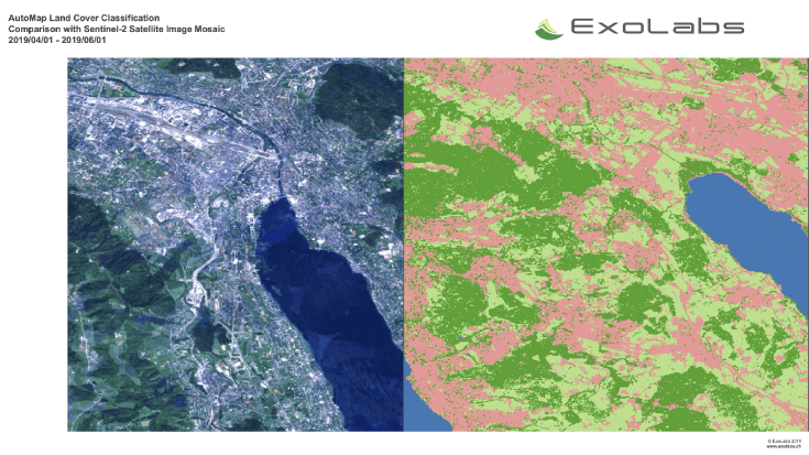
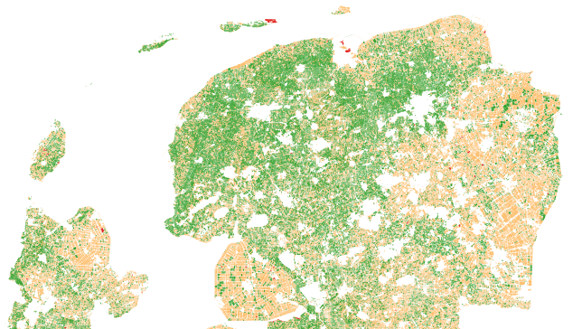
WatchITgrow is an online platform to support growers to monitor arable crops and vegetables in view of increasing yields, both qualitatively and quantitatively. WatchITgrow uses various types of data starting with satellite data combined with e.g. weather data, soil data, IoT data and field data provided by the grower. These data will be combined using new technologies such as big data analytics and machine learning to provide growers with more timely and personalized advice.
Agriculture; Land use; Farming


Descripción del producto
WatchITgrow is an online platform to support growers to monitor arable crops and vegetables in view of increasing yields, both qualitatively and quantitatively. WatchITgrow uses various types of data starting with satellite data combined with e.g. weather data, soil data, IoT data and field data provided by the grower. These data will be combined using new technologies such as big data analytics and machine learning to provide growers with more timely and personalized advice.
Beneficios
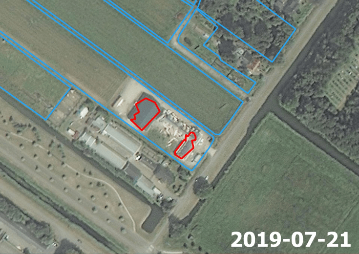
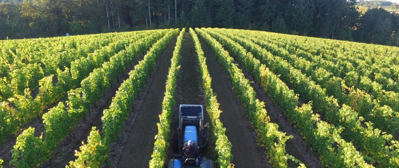
WatchITgrow uses various types of data starting with satellite data combined with e.g. weather data, soil data, IoT data and field data provided by the grower. WatchITgrow allows growers to access and store large amounts of data via a personal account. These data will be combined using new technologies such as big data analytics and machine learning to provide growers with more timely and personalized advice. WatchITgrow is a collaboration platform for everyone in the sector, from growers, contractors and advisors to buyers. The platform offers numerous functionalities and benefits to monitor your crops more smoothly, but it also offers the possibility to set up a closer cooperation between individual growers and buyers. Moreover, WatchITgrow is not limited to potatoes, you can also monitor other arable crops or vegetables.
- Simplify your crop monitoring thanks to satellite data, weather data, etc.
- Receive detailed information about your crop and notifications about field changes
- Receive more personalized advice
Lugar de servicio
Belgium and surrounding countries. Specific areas can be added on demand.
Comparación de servicios
servicios
contenido relacionado