Description du produit
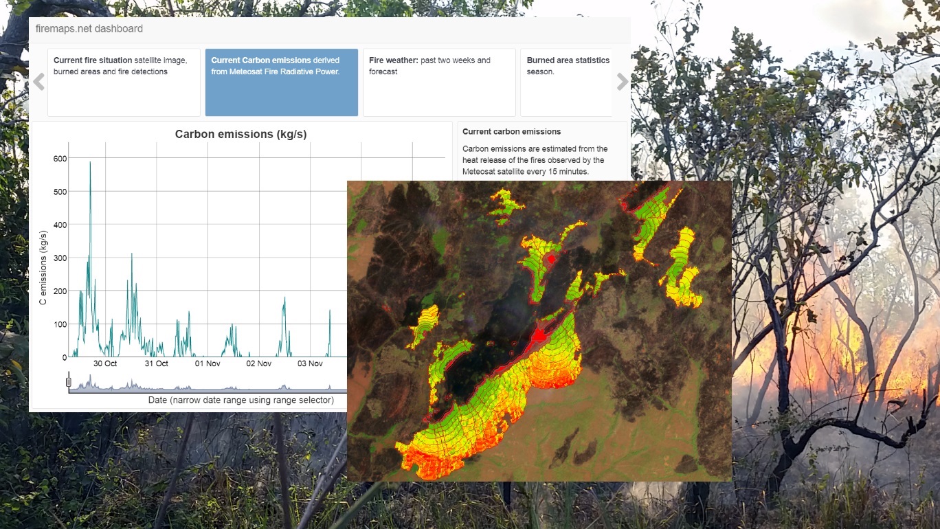
firemaps.net provides monitoring of fires from satellites. We use mostly free Earth observation data form the Sentinel fleet and from NASA and Eumetsat, as well as weather and climate data from different providers. All data are automatically downloaded and processed in a cloud environment and delivered to the user through our firemaps.net platform. firemaps.net offers a web mapping and information interface, provides the products for download in the desired format and features a reporting ready fire statistics on user defined areas of interest. Using NASA MODIS and Landsat data we provide time series of over ten years for fire baseline assessment. Coupling Earth observation and weather data we provide online modelling of fire behaviour and fire risk. We currently develop a mobile app for offline use of firemaps.net.
Avantages
Benefits description
Spécifications techniques
Lieu de service
Global (with a focus on Africa, South America and South East Asia)


