Company

CLS

CLS, a subsidiary of CNES and CNP, is a worldwide company and pioneer provider of monitoring and surveillance solutions for the Earth since 1986. Our mission is to deploy innovative space-based solutions to understand and protect our planet, and to manage its resources sustainably

About

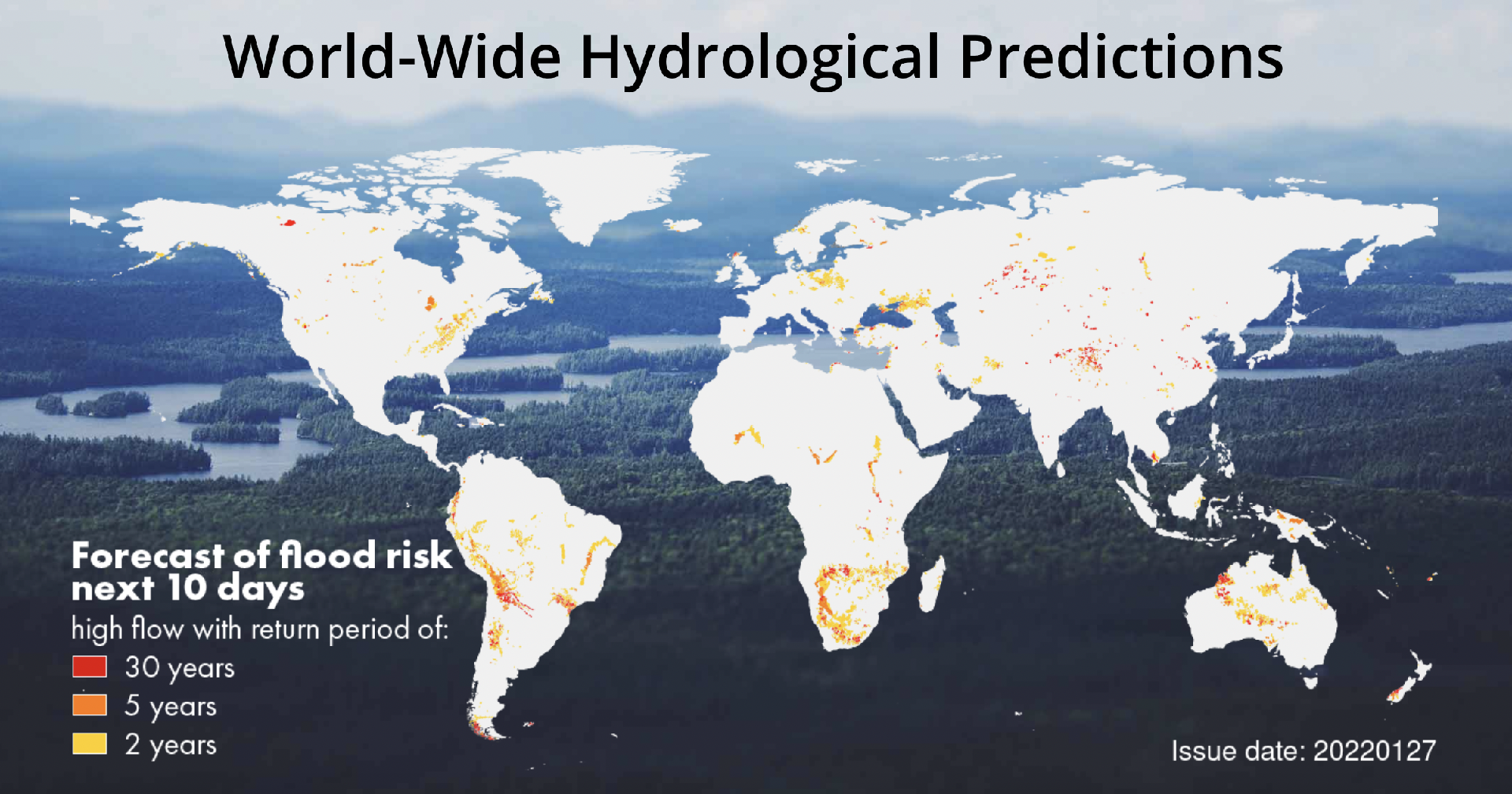
CLS serves a broad range of customers : governments, scientific organizations, non-governmental organizations, institutions, large industrial groups (maritime freight, oil and gas companies, commercial shipping, fisheries, etc). CLS works in 5 strategic areas of activity : Environment & Climate Monitoring Sustainable Fisheries Management Maritime Surveillance Mobility Energies & Infrastructures Monitoring We provides satellite services based on location and environmental data collection, observation of the oceans and continental waters, and monitoring of land and maritime activities: - 80,000 beacons per month (drifting buoys, animal tags, VMS beacons, LRIT tracking, etc.). - More than 20 instruments onboard satellites daily. Nearly 130 satellites deliver daily information to CLS about the state of the planet and its activities. - Nearly 130 satellites deliver daily information to CLS about the state of the planet and its activities. - Nearly 10,000 radar images are processed each year.

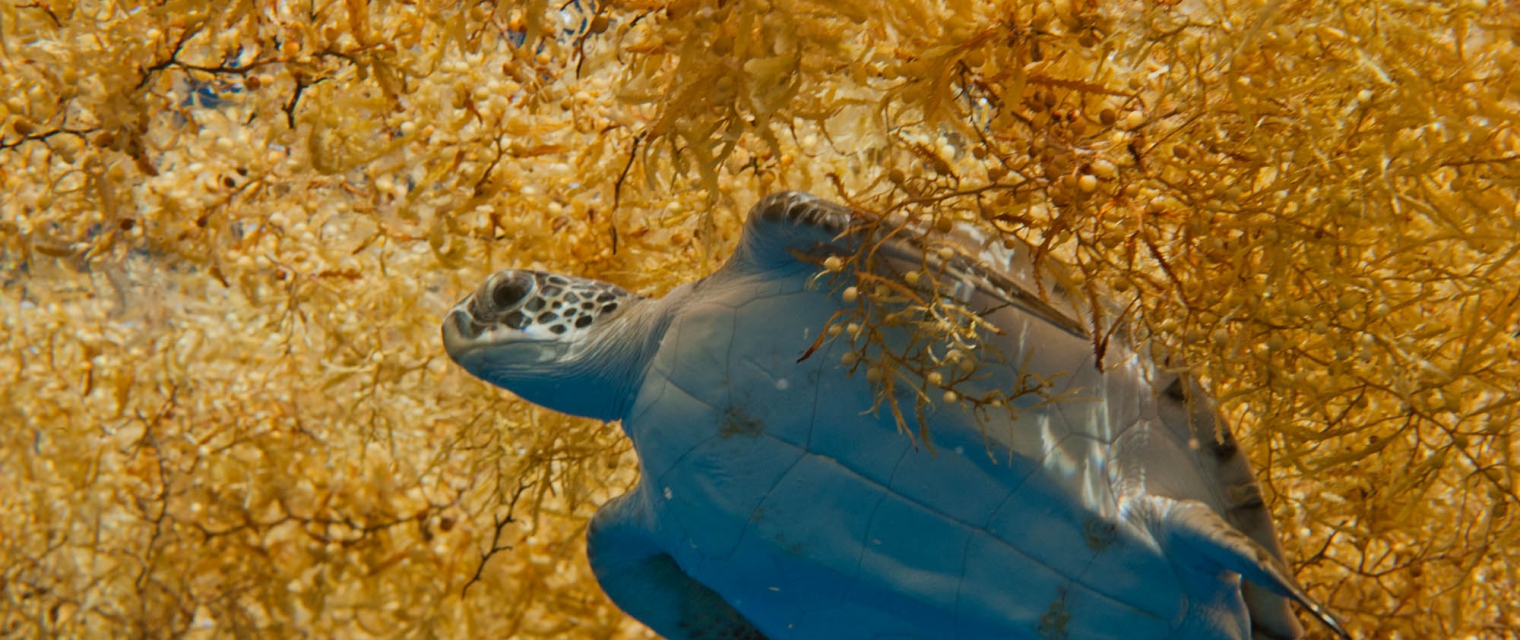
Marine ecosystem; Coastal; Assess and monitor coastal water quality; Monitor coastal ecosystem; Monitor ocean level and surface; Detect and monitor illegal fishing

Certifcation
  • CLS is certified ISO 9001:2008
  • CLS is certified ISO 27001:2013
Website
Registration Number
Address
Telephone
Fax
Email
Contact Name
Contact Position
Contact Telephone
Contact Email
contact@groupcls.com
Value chain
HQ location
Toulouse, France

Compare products

0 products added

Compare

Services comparison

services

Related Content

Sargassum Monitoring- SAMTool service
Environmental, Pollution & Climate, Environment, Regional governments, Local and regional planners, Travel, Tourism and Leisure
Detection and sargassum influxes identification at their earliest stage using a synergy of satellite sensors, combined with drift modelling
Added
Added
Satellite-derived Bathymetry
Coastal, Fisheries, Map water depth or charting, Oil and Gas, Maritime
A cost-effective method for accurate water depth mapping of the worlds shallow coastal areas based on high resolution satellite images. The method is globally applicable.
Added
Added
Land Cover Analysis
Floods, Inland Water, Land Ecosystems, Geology, Forests, Infrastructure, Land use, Urban Areas, Fires, Earthquakes, Construction, Emergency Services, Environmental, Pollution & Climate, Farming, Utilities (water, electricity, waste) , Oil and Gas, Minerals and Mining
LCA stands for Land Cover Analysis and is used to provide an up to date, digital overview of what covers the surface of our earth split out into 10 key land cover classes. The LCA is often the first step in many environmental monitoring or site selection processes.
Added
Added
EO based phytoplankton biomass service
Inland Water, Assess and monitor water bodies   , Local and regional planners, Regional governments, City authorities, Environment, Utilities (water, electricity, waste) , Water plants, Coastal management agencies
Using knowledge about how certain substances, such as one of the main pigments of the phytoplankton (Chlorophyll a - Chl a) alter the colour of the water, these parameters can be derived from optial Earth Observation (EO) satellite sensors. Water Insight provides monitoring services of Chl a based on EO data which is validated with in situmeasurements. Also the maps of WFD phytoplankton biomass status classes are created, by application of the WFD tresholds on Chl a as a proxy for phytoplankton biomass. The maps are made available in a portal, which allows to follow the lakes in time, zoom and download maps and time series.
Added
Added