Success story

The GOS4M Knowledge Hub Designed For End-Users To Assess The Effectiveness Of Measures Undertaken Under The Minamata Convention On Mercury

Atmosphere; Land use; Marine ecosystem; Environmental, Pollution & Climate; Local and regional planners; Retail and Geo-marketing

Profile

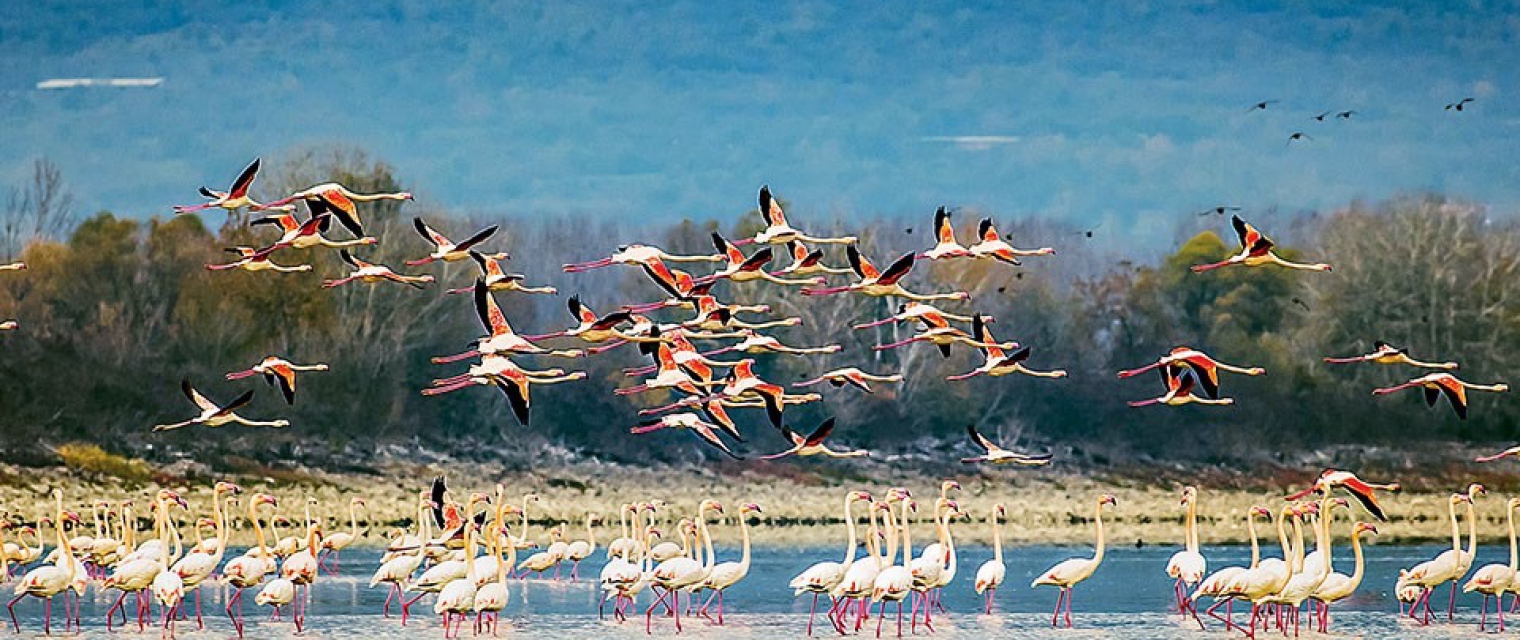
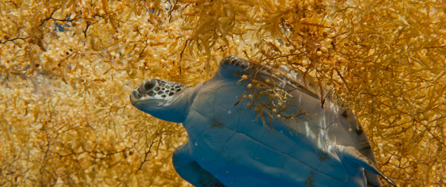
To facilitate the access and use of the GOS4M KH by end-users a Virtual Laboratory (VL) is under development. The VL is designed to emulate long-term environmental processes by pre-processing a large amount of output data sets provided by processes-driven modeles that estimate the deposition fluxes of mercury to terrestrial ecosystems and oceans, mercury bioaccumulated in fish and other biological endpoints. The VL will provide the possibility of generating the costs’ curves for each reduction emission scenarios analysed and assess the associated benefits for human health and ecosystems.

Benefits

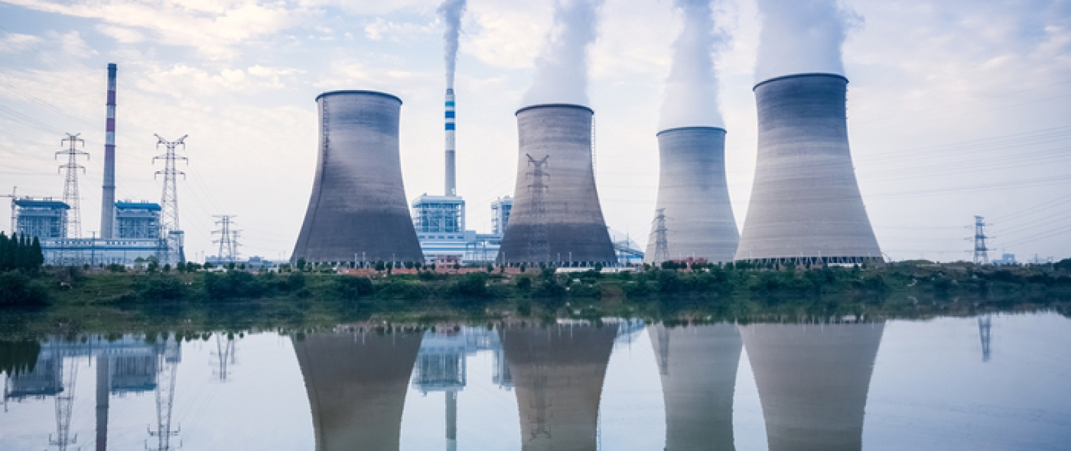
  • GOS4M KH provides a unique spatial data infrastructure of mercury concentrations in air, water and biological samples along with key EO data sets used to better understand geographical gaps.
  • GOS4M global data sets are fully compliant with GEO Data Sharing and Management Principles.
  • GOS4M metadata are ISO complaint.
  • GOS4M KH will provide web-services for various end-user profiles through ad-hoc designed and customized APIs.
  • GOS4M KH will support governments and all interested parties in the implementation of the MCM.

Compare products

0 products added

Compare

Services comparison

services

Related Content

Land Cover Analysis
Floods, Inland Water, Land Ecosystems, Geology, Forests, Infrastructure, Land use, Urban Areas, Fires, Earthquakes, Construction, Emergency Services, Environmental, Pollution & Climate, Farming, Utilities (water, electricity, waste) , Oil and Gas, Minerals and Mining
LCA stands for Land Cover Analysis and is used to provide an up to date, digital overview of what covers the surface of our earth split out into 10 key land cover classes. The LCA is often the first step in many environmental monitoring or site selection processes.
Added
Added
Renovatio
Land use, Topography, Urban Areas, Land Ecosystems, Environmental, Pollution & Climate, Local and regional planners
Renovatio is a data driven decision support system for real estate sector. It helps users to find information about the building, and neighbourhood to reduce time to research information, and better estimate risk in projects.
Added
Added
Earth Science Data Access and PrOcessing Service for Black Sea (ESPOSS)
Coastal, Marine ecosystem, algal bloom, ocean colour compositte, sea surface temperature, turbidity, chlorophyll-a concentration, Maritime, Local and regional planners
EPSOSS takes advantage of the high investments made by the European countries and their international partners in ES data collection and dissemination systems (e.g. satellites, in-situ networks, ICT frameworks) and builds on top of those systems an added value application (geoportal) for the scientific community and the Black Sea relevant decision makers on environmental issues. ESPOSS offers: - Friendly interface - easy to use graphical user interface and intuitive workflows. - 10 000+ satellite derived data layers - the product portfolio includes: Sea surface temperature, chlorophyll concentration, diffuse attenuation coefficient, total suspended matter, etc. - Modern architecture - ESPOSS architecture design is driven by service-oriented architecture design principles, and use open standards from IETF, W3C, OASIS, ISO/TC 211, and OGC. - Open source based - ESPOSS GeoPortal is built completely with free and open source software. - Modular and scalable - the geoportal is based on a modular and scalable software architecture that enables an efficient deployment, control, and management of active services. - Network services - implements Open Geospatial Consortium (OGC) standards for data retrieval (WMS, WCS, WFS) and server-side processing (WPS). - Active community - fast growing international user community. - Powerful visualizations - effective data visualization methods, suitable for analysis of big volumes of multi-temporal data. - Server-side processing services - currently the service has interfaces for the following types of geospatial processing functions: buffer, clip, resample, profile and raster algebra.
Added
Added
EO based phytoplankton biomass service
Inland Water, Assess and monitor water bodies   , Local and regional planners, Regional governments, City authorities, Environment, Utilities (water, electricity, waste) , Water plants, Coastal management agencies
Using knowledge about how certain substances, such as one of the main pigments of the phytoplankton (Chlorophyll a - Chl a) alter the colour of the water, these parameters can be derived from optial Earth Observation (EO) satellite sensors. Water Insight provides monitoring services of Chl a based on EO data which is validated with in situmeasurements. Also the maps of WFD phytoplankton biomass status classes are created, by application of the WFD tresholds on Chl a as a proxy for phytoplankton biomass. The maps are made available in a portal, which allows to follow the lakes in time, zoom and download maps and time series.
Added
Added